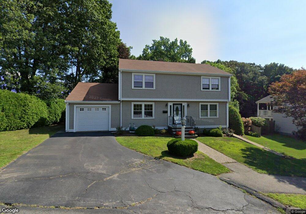
3 Boxwood Rd Stoneham, MA 02180
Haywardville NeighborhoodEstimated Value: $1,001,000 - $1,062,000
4
Beds
3
Baths
2,488
Sq Ft
$414/Sq Ft
Est. Value
About This Home
This home is located at 3 Boxwood Rd, Stoneham, MA 02180 and is currently estimated at $1,030,534, approximately $414 per square foot. 3 Boxwood Rd is a home located in Middlesex County with nearby schools including Stoneham High School, St. Patrick Elementary School, and Greater Boston Academy.
Ownership History
Date
Name
Owned For
Owner Type
Purchase Details
Closed on
Feb 16, 2023
Sold by
Renault John H and Renault Caroline T
Bought by
Renault Ft
Current Estimated Value
Purchase Details
Closed on
Jul 13, 1977
Bought by
Renault John H and Renault Caroline T
Create a Home Valuation Report for This Property
The Home Valuation Report is an in-depth analysis detailing your home's value as well as a comparison with similar homes in the area
Home Values in the Area
Average Home Value in this Area
Purchase History
| Date | Buyer | Sale Price | Title Company |
|---|---|---|---|
| Renault Ft | -- | None Available | |
| Renault John H | -- | -- |
Source: Public Records
Mortgage History
| Date | Status | Borrower | Loan Amount |
|---|---|---|---|
| Previous Owner | Renault John H | $90,000 |
Source: Public Records
Tax History Compared to Growth
Tax History
| Year | Tax Paid | Tax Assessment Tax Assessment Total Assessment is a certain percentage of the fair market value that is determined by local assessors to be the total taxable value of land and additions on the property. | Land | Improvement |
|---|---|---|---|---|
| 2025 | $8,848 | $864,900 | $421,400 | $443,500 |
| 2024 | $8,597 | $811,800 | $401,400 | $410,400 |
| 2023 | $8,283 | $746,200 | $361,400 | $384,800 |
| 2022 | $7,331 | $704,200 | $341,400 | $362,800 |
| 2021 | $7,352 | $679,500 | $321,400 | $358,100 |
| 2020 | $7,223 | $669,400 | $311,400 | $358,000 |
| 2019 | $7,047 | $628,100 | $291,400 | $336,700 |
| 2018 | $6,942 | $592,800 | $271,400 | $321,400 |
| 2017 | $6,912 | $557,900 | $261,400 | $296,500 |
| 2016 | $6,593 | $519,100 | $251,400 | $267,700 |
| 2015 | $6,516 | $502,800 | $251,400 | $251,400 |
| 2014 | $6,505 | $482,200 | $241,400 | $240,800 |
Source: Public Records
Map
Nearby Homes
- 159 Franklin St Unit C2
- 5 Sheffield Rd
- 17 Franklin St
- 137 Franklin St Unit 102
- 137 Franklin St Unit 404
- 14 Dinanno Rd
- 25 Murdoch Rd
- 39 Tamarock Terrace
- 8 Walnut St
- 6 Gavin Cir
- 4 Gavin Cir
- 588 Main St Unit 3C
- 81 Spring St
- 17 Emerson St Unit A
- 17A 17 B Emerson
- 34 Warren St Unit 3
- 1 Ludlow Ave
- 20 Myrtle St
- 349 W Emerson St
- 43 Pomeworth St Unit 44
- 1 Boxwood Rd
- 46 Fieldstone Dr
- 48 Fieldstone Dr
- 43 Fieldstone Dr
- 45 Fieldstone Dr
- 42 Fieldstone Dr
- 21 Sunset Rd
- 41 Fieldstone Dr
- 47 Fieldstone Dr
- 50 Fieldstone Dr
- 40 Fieldstone Dr
- 23 Sunset Rd
- 19 Sunset Rd
- 39 Fieldstone Dr
- 17 Sunset Rd
- 38 Fieldstone Dr
- 29 Sunset Rd
- 37 Fieldstone Dr
- 15 Sunset Rd
- 20 Sunset Rd