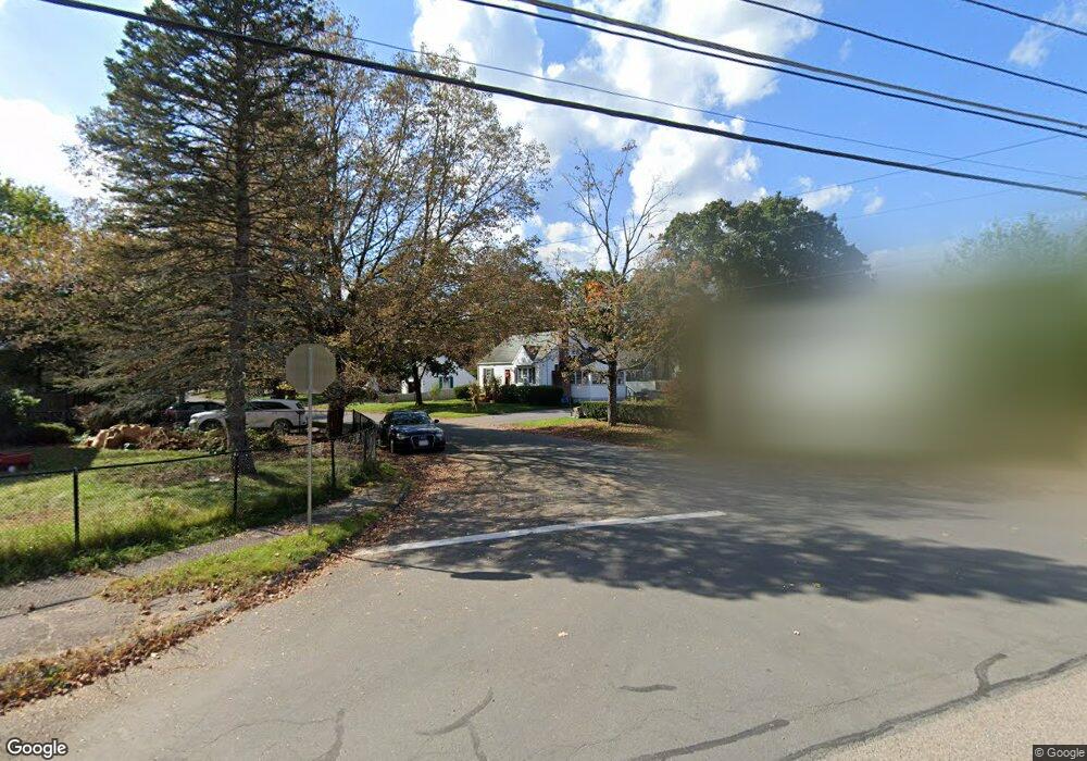
3 Boyden Dr Foxboro, MA 02035
Estimated Value: $516,000 - $609,000
3
Beds
2
Baths
1,152
Sq Ft
$486/Sq Ft
Est. Value
About This Home
This home is located at 3 Boyden Dr, Foxboro, MA 02035 and is currently estimated at $560,021, approximately $486 per square foot. 3 Boyden Dr is a home located in Norfolk County with nearby schools including Foxborough High School, St Mary's Catholic School, and Hands-On-Montessori School.
Ownership History
Date
Name
Owned For
Owner Type
Purchase Details
Closed on
Oct 31, 2001
Sold by
Belyea Ft
Bought by
Otoole Stephen P and Otoole Jennifer M
Current Estimated Value
Home Financials for this Owner
Home Financials are based on the most recent Mortgage that was taken out on this home.
Original Mortgage
$194,400
Outstanding Balance
$76,541
Interest Rate
6.82%
Mortgage Type
Purchase Money Mortgage
Estimated Equity
$483,480
Create a Home Valuation Report for This Property
The Home Valuation Report is an in-depth analysis detailing your home's value as well as a comparison with similar homes in the area
Home Values in the Area
Average Home Value in this Area
Purchase History
| Date | Buyer | Sale Price | Title Company |
|---|---|---|---|
| Otoole Stephen P | $243,000 | -- |
Source: Public Records
Mortgage History
| Date | Status | Borrower | Loan Amount |
|---|---|---|---|
| Open | Otoole Stephen P | $194,400 |
Source: Public Records
Tax History Compared to Growth
Tax History
| Year | Tax Paid | Tax Assessment Tax Assessment Total Assessment is a certain percentage of the fair market value that is determined by local assessors to be the total taxable value of land and additions on the property. | Land | Improvement |
|---|---|---|---|---|
| 2025 | $5,626 | $425,600 | $208,000 | $217,600 |
| 2024 | $5,451 | $403,500 | $208,000 | $195,500 |
| 2023 | $5,313 | $373,900 | $198,100 | $175,800 |
| 2022 | $5,208 | $358,700 | $189,500 | $169,200 |
| 2021 | $4,898 | $332,300 | $172,300 | $160,000 |
| 2020 | $4,747 | $325,800 | $172,300 | $153,500 |
| 2019 | $4,566 | $310,600 | $164,100 | $146,500 |
| 2018 | $4,486 | $307,900 | $164,100 | $143,800 |
| 2017 | $4,228 | $281,100 | $153,400 | $127,700 |
| 2016 | $4,090 | $276,000 | $147,600 | $128,400 |
| 2015 | $3,845 | $253,100 | $124,700 | $128,400 |
| 2014 | $3,758 | $250,700 | $122,300 | $128,400 |
Source: Public Records
Map
Nearby Homes
- 1 Revere Dr
- 261 East St
- 260 Massapoag Ave
- 619 N Main St
- 4 Concetta Cir
- 148 Stearns Ave
- Lot One Old Wolomolopoag St
- Lot Two Old Wolomolopoag St
- 82 Brook St
- 151 Stearns Ave
- 631 East St Unit E203
- 12 Spring St
- 22 Pleasant St Unit C
- 73-75 Draper Ave
- 46 Hope St
- 147 Chestnut St Unit A
- 147 Chestnut St Unit B
- 233 Central St
- 16 Erick Rd Unit 34
- 485-487 Stearns Ave