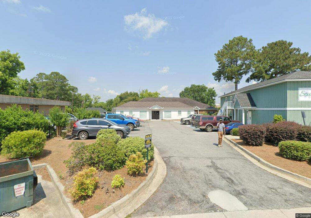
3 Broad St Statesboro, GA 30458
--
Bed
--
Bath
1,200
Sq Ft
4,356
Sq Ft Lot
About This Home
This home is located at 3 Broad St, Statesboro, GA 30458. 3 Broad St is a home located in Bulloch County with nearby schools including Statesboro High School, Sallie Zetterower Elementary School, and Langston Chapel Middle School.
Ownership History
Date
Name
Owned For
Owner Type
Purchase Details
Closed on
Nov 9, 2022
Sold by
Forrest Resource Group Llc
Bought by
Hx2 Holdings Llc
Purchase Details
Closed on
Nov 17, 2021
Sold by
Forrest Resource Group Llc
Bought by
Pevey Investment Grp Llc
Purchase Details
Closed on
May 27, 2021
Sold by
Kitching Amy
Bought by
Forrest Resource Group Llc
Purchase Details
Closed on
Feb 2, 2016
Sold by
Farmers & Merchants Bank
Bought by
Savannah Avenue Llc
Purchase Details
Closed on
Aug 3, 2010
Sold by
Phillips Carolyn
Bought by
Farmers & Merchants Bank
Purchase Details
Closed on
Feb 1, 2000
Bought by
Phillips Carolyn C/O Colonial House Of F
Purchase Details
Closed on
Mar 1, 1980
Bought by
Mcallister C B
Create a Home Valuation Report for This Property
The Home Valuation Report is an in-depth analysis detailing your home's value as well as a comparison with similar homes in the area
Home Values in the Area
Average Home Value in this Area
Purchase History
| Date | Buyer | Sale Price | Title Company |
|---|---|---|---|
| Hx2 Holdings Llc | $840,000 | -- | |
| Hx2 Holdings Llc | -- | -- | |
| Pevey Investment Grp Llc | $125,000 | -- | |
| Forrest Resource Group Llc | -- | -- | |
| Savannah Avenue Llc | $200,000 | -- | |
| Farmers & Merchants Bank | -- | -- | |
| Phillips Carolyn C/O Colonial House Of F | -- | -- | |
| Mcallister C B | -- | -- |
Source: Public Records
Tax History Compared to Growth
Tax History
| Year | Tax Paid | Tax Assessment Tax Assessment Total Assessment is a certain percentage of the fair market value that is determined by local assessors to be the total taxable value of land and additions on the property. | Land | Improvement |
|---|---|---|---|---|
| 2024 | $414 | $15,120 | $13,680 | $1,440 |
| 2023 | $323 | $15,160 | $13,680 | $1,480 |
| 2022 | $296 | $15,072 | $13,680 | $1,392 |
| 2021 | $566 | $44,695 | $12,520 | $32,175 |
| 2020 | $582 | $44,726 | $12,520 | $32,206 |
| 2019 | $585 | $48,000 | $12,520 | $35,480 |
| 2018 | $610 | $48,031 | $12,520 | $35,511 |
| 2017 | $497 | $47,777 | $12,520 | $35,257 |
| 2016 | $687 | $47,777 | $12,520 | $35,257 |
| 2015 | $690 | $49,884 | $12,520 | $37,364 |
| 2014 | $633 | $49,884 | $12,520 | $37,364 |
Source: Public Records
Map
Nearby Homes
- 111 S Mulberry St
- 0 U S 301 Unit 24576764
- 0 Highway 67 Unit 10541885
- 227 E Main St
- 15 N Gordon St
- LOT 21 Oak Hill Dr
- 316 E Main St
- 27 W Grady St
- 313 Donaldson St
- 342 Savannah Ave
- 0 Oak St Unit OAK ST/ LOT 2
- 141 Griffith Ln
- 115 Inman Ln Unit A/B
- 0 Highway 80 W Unit 10534803
- 117 W Jones Ave
- 113 Church St
- 118 Lee St
- 360 Savannah Ave
- 8 Roundtree St
- 362 Savannah Ave
- 116 Savannah Ave
- 112 Savannah Ave
- 331 A&b South Broad
- 9 Broad St
- 110 Savannah Ave
- 118 Savannah Ave
- 9 S Mulberry St
- 11 Broad St
- 0 Broad St Unit 3248853
- 0 Broad St Unit 3158345
- 0 Broad St Unit 7610321
- 0 Broad St Unit 7453835
- 0 Broad St Unit 7001948
- 0 Broad St Unit 7048775
- 0 Broad St Unit 3062279
- 0 Broad St Unit 7103695
- 0 Broad St Unit 7480373
- 0 Broad St Unit 3232271
- 0 Broad St Unit 8379990
- 0 Broad St Unit 7553023