Estimated Value: $947,730 - $1,117,000
4
Beds
3
Baths
2,492
Sq Ft
$400/Sq Ft
Est. Value
About This Home
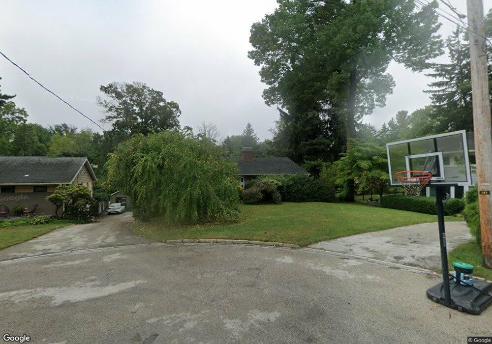
This home is located at 3 Brookside Cir, Wayne, PA 19087 and is currently estimated at $997,933, approximately $400 per square foot. 3 Brookside Cir is a home located in Delaware County with nearby schools including Wayne Elementary School, Radnor Middle School, and Radnor Senior High School.
Ownership History
Date
Name
Owned For
Owner Type
Purchase Details
Closed on
Jun 25, 2006
Sold by
Goldstein Charlotte and Goldstein Leigh
Bought by
Ade Robert A and Ade Jeanine M
Current Estimated Value
Home Financials for this Owner
Home Financials are based on the most recent Mortgage that was taken out on this home.
Original Mortgage
$325,440
Outstanding Balance
$191,439
Interest Rate
6.58%
Mortgage Type
Purchase Money Mortgage
Estimated Equity
$806,494
Purchase Details
Closed on
Jan 29, 2003
Sold by
Sheehan Marlene S
Bought by
Goldstein Charlotte and Goldstein Leigh
Home Financials for this Owner
Home Financials are based on the most recent Mortgage that was taken out on this home.
Original Mortgage
$100,000
Interest Rate
6.09%
Mortgage Type
Purchase Money Mortgage
Create a Home Valuation Report for This Property
The Home Valuation Report is an in-depth analysis detailing your home's value as well as a comparison with similar homes in the area
Home Values in the Area
Average Home Value in this Area
Purchase History
| Date | Buyer | Sale Price | Title Company |
|---|---|---|---|
| Ade Robert A | $406,800 | Commonwealth Land Title Insu | |
| Goldstein Charlotte | $306,500 | Commonwealth Land Title Ins |
Source: Public Records
Mortgage History
| Date | Status | Borrower | Loan Amount |
|---|---|---|---|
| Open | Ade Robert A | $325,440 | |
| Previous Owner | Goldstein Charlotte | $100,000 |
Source: Public Records
Tax History
| Year | Tax Paid | Tax Assessment Tax Assessment Total Assessment is a certain percentage of the fair market value that is determined by local assessors to be the total taxable value of land and additions on the property. | Land | Improvement |
|---|---|---|---|---|
| 2025 | $9,841 | $486,750 | $210,790 | $275,960 |
| 2024 | $9,841 | $486,750 | $210,790 | $275,960 |
| 2023 | $9,451 | $486,750 | $210,790 | $275,960 |
| 2022 | $9,348 | $486,750 | $210,790 | $275,960 |
| 2021 | $15,016 | $486,750 | $210,790 | $275,960 |
| 2020 | $6,767 | $194,530 | $125,480 | $69,050 |
| 2019 | $6,576 | $194,530 | $125,480 | $69,050 |
| 2018 | $6,447 | $194,530 | $0 | $0 |
| 2017 | $6,312 | $194,530 | $0 | $0 |
| 2016 | $1,089 | $194,530 | $0 | $0 |
| 2015 | $1,089 | $194,530 | $0 | $0 |
| 2014 | $1,089 | $194,530 | $0 | $0 |
Source: Public Records
Map
Nearby Homes
- 24 Orchard Ln
- 770 & 768 Parkes Run Ln
- 848 Parkes Run Ln
- 0 Greenwell Ln
- 228 S Radnor Chester Rd
- 500 E Lancaster Ave Unit 111A
- 421 Midland Ave
- 658 Brooke Rd
- 220 Radnor Chester Rd
- 427 E Lancaster Ave Unit 1202
- 625 Conestoga Rd
- 423 Maplewood Ave
- 541 Atterbury Rd
- 216 Bloomingdale Ave
- 260 N Aberdeen Ave
- 700 Camp Woods Rd
- 458 Huston Rd
- 201 S Spring Mill Rd
- 203 Church St
- 412 Fairview Dr
- 12 Brookside Cir
- 5 Brookside Cir
- 445 Conestoga Rd
- 443 Conestoga Rd
- 6 Brookside Cir
- 441 Conestoga Rd
- 618 Brookside Ave
- 620 Brookside Ave
- 453 Conestoga Rd
- 2 Brookside Cir
- 4 Brookside Cir
- 622 Brookside Ave
- 0 Conestoga Rd
- 616 Brookside Ave
- 433 Conestoga Rd
- 624 Brookside Ave
- 437 Conestoga Rd
- 614 Brookside Ave
- 444 Conestoga Rd
- 448 Conestoga Rd
Your Personal Tour Guide
Ask me questions while you tour the home.