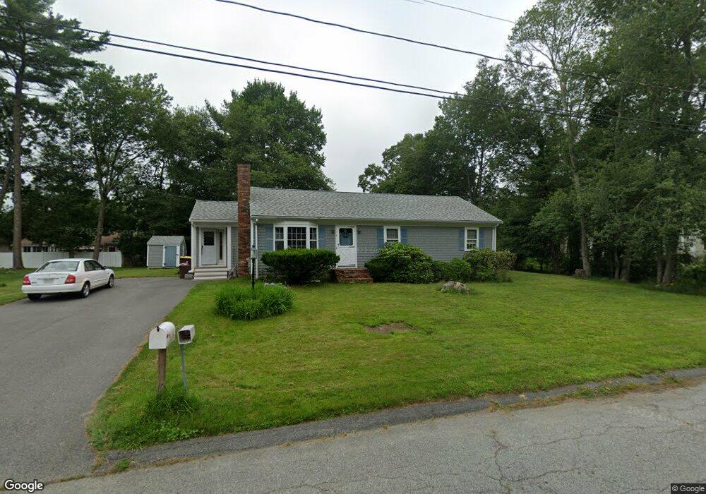
3 Brookside Dr Acushnet, MA 02743
Estimated Value: $471,914 - $570,000
3
Beds
2
Baths
1,212
Sq Ft
$440/Sq Ft
Est. Value
About This Home
This home is located at 3 Brookside Dr, Acushnet, MA 02743 and is currently estimated at $533,229, approximately $439 per square foot. 3 Brookside Dr is a home located in Bristol County with nearby schools including Acushnet Elementary School, Albert F Ford Middle School, and Alma Del Mar Charter School.
Ownership History
Date
Name
Owned For
Owner Type
Purchase Details
Closed on
Sep 25, 2024
Sold by
Leblanc Maurie O and Leblanc Kathleen M
Bought by
Leblnc Irt and Methia
Current Estimated Value
Purchase Details
Closed on
Nov 15, 1991
Sold by
Koczera Andrew S and Koczera Susan A
Bought by
Leblanc Maurice O and Leblanc Kathleen M
Home Financials for this Owner
Home Financials are based on the most recent Mortgage that was taken out on this home.
Original Mortgage
$73,500
Interest Rate
8.8%
Mortgage Type
Purchase Money Mortgage
Create a Home Valuation Report for This Property
The Home Valuation Report is an in-depth analysis detailing your home's value as well as a comparison with similar homes in the area
Purchase History
| Date | Buyer | Sale Price | Title Company |
|---|---|---|---|
| Leblnc Irt | -- | None Available | |
| Leblnc Irt | -- | None Available | |
| Leblanc Maurice O | $130,000 | -- | |
| Leblanc Maurice O | $130,000 | -- |
Source: Public Records
Mortgage History
| Date | Status | Borrower | Loan Amount |
|---|---|---|---|
| Previous Owner | Leblanc Maurice O | $110,000 | |
| Previous Owner | Leblanc Maurice O | $11,876 | |
| Previous Owner | Leblanc Maurice O | $92,000 | |
| Previous Owner | Leblanc Maurice O | $73,500 |
Source: Public Records
Tax History
| Year | Tax Paid | Tax Assessment Tax Assessment Total Assessment is a certain percentage of the fair market value that is determined by local assessors to be the total taxable value of land and additions on the property. | Land | Improvement |
|---|---|---|---|---|
| 2025 | $39 | $363,800 | $122,400 | $241,400 |
| 2024 | $3,747 | $328,400 | $115,700 | $212,700 |
| 2023 | $3,565 | $297,100 | $100,100 | $197,000 |
| 2022 | $3,555 | $267,900 | $95,700 | $172,200 |
| 2021 | $3,426 | $247,700 | $95,700 | $152,000 |
| 2020 | $3,453 | $247,700 | $95,700 | $152,000 |
| 2019 | $3,433 | $242,100 | $97,900 | $144,200 |
| 2018 | $3,321 | $230,300 | $97,900 | $132,400 |
| 2017 | $3,207 | $222,100 | $97,900 | $124,200 |
| 2016 | $3,051 | $210,000 | $91,200 | $118,800 |
| 2015 | $2,890 | $202,400 | $91,200 | $111,200 |
Source: Public Records
Map
Nearby Homes
- 4 Brookside Dr
- 150 Hathaway Rd
- 5 Brookside Dr
- 154 Hathaway Rd
- 6 Brookside Dr
- 6 Green Meadow Dr
- 4 Green Meadow Dr
- 148 Hathaway Rd
- 8 Green Meadow Dr
- 8 Brookside Dr
- 153 Hathaway Rd
- 3 Green Meadow Dr
- 5 Green Meadow Dr
- 155 Hathaway Rd
- 7 Green Meadow Dr
- 9 Brookside Dr
- 10 Brookside Dr
- 144 Hathaway Rd
- 166 Hathaway Rd
- 166 Hathaway Rd Unit 1
Your Personal Tour Guide
Ask me questions while you tour the home.