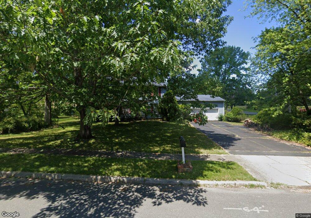
3 Butternut Ln Ewing, NJ 08638
Ewingville NeighborhoodEstimated Value: $585,000 - $663,000
--
Bed
--
Bath
2,555
Sq Ft
$249/Sq Ft
Est. Value
About This Home
This home is located at 3 Butternut Ln, Ewing, NJ 08638 and is currently estimated at $635,121, approximately $248 per square foot. 3 Butternut Ln is a home located in Mercer County with nearby schools including Ewing High School, Trenton Stem-To-Civics Charter School, and Guidepost Montessori at Lawrenceville.
Ownership History
Date
Name
Owned For
Owner Type
Purchase Details
Closed on
Dec 5, 2012
Sold by
Blair William M and Blair Kirsten H
Bought by
Blair William M and Blair Kirsten H
Current Estimated Value
Home Financials for this Owner
Home Financials are based on the most recent Mortgage that was taken out on this home.
Original Mortgage
$351,400
Interest Rate
3.45%
Mortgage Type
New Conventional
Purchase Details
Closed on
Dec 20, 2007
Sold by
Stahl Edward M
Bought by
Blair William M and Blair Kirsten J
Home Financials for this Owner
Home Financials are based on the most recent Mortgage that was taken out on this home.
Original Mortgage
$380,000
Interest Rate
6.27%
Mortgage Type
New Conventional
Purchase Details
Closed on
Apr 26, 1991
Sold by
Stahl Edward M and Stahl Susan C
Bought by
Stahl Edward M Ux
Create a Home Valuation Report for This Property
The Home Valuation Report is an in-depth analysis detailing your home's value as well as a comparison with similar homes in the area
Home Values in the Area
Average Home Value in this Area
Purchase History
| Date | Buyer | Sale Price | Title Company |
|---|---|---|---|
| Blair William M | -- | None Available | |
| Blair William M | $380,000 | -- | |
| Stahl Edward M Ux | -- | -- |
Source: Public Records
Mortgage History
| Date | Status | Borrower | Loan Amount |
|---|---|---|---|
| Previous Owner | Blair William M | $351,400 | |
| Previous Owner | Blair William M | $380,000 |
Source: Public Records
Tax History Compared to Growth
Tax History
| Year | Tax Paid | Tax Assessment Tax Assessment Total Assessment is a certain percentage of the fair market value that is determined by local assessors to be the total taxable value of land and additions on the property. | Land | Improvement |
|---|---|---|---|---|
| 2025 | $13,648 | $347,000 | $89,300 | $257,700 |
| 2024 | $12,829 | $347,000 | $89,300 | $257,700 |
| 2023 | $12,829 | $347,000 | $89,300 | $257,700 |
| 2022 | $12,482 | $347,000 | $89,300 | $257,700 |
| 2021 | $12,176 | $347,000 | $89,300 | $257,700 |
| 2020 | $12,003 | $347,000 | $89,300 | $257,700 |
| 2019 | $11,690 | $347,000 | $89,300 | $257,700 |
| 2018 | $9,999 | $189,300 | $59,300 | $130,000 |
| 2017 | $10,232 | $189,300 | $59,300 | $130,000 |
| 2016 | $10,093 | $189,300 | $59,300 | $130,000 |
| 2015 | $9,959 | $189,300 | $59,300 | $130,000 |
| 2014 | $9,933 | $189,300 | $59,300 | $130,000 |
Source: Public Records
Map
Nearby Homes
- 15 Brophy Dr
- 23 Sabrina Dr
- 2148 Pennington Rd
- 205 Gentry Ct
- 2405 Pennington Rd
- 10 Howe Ct
- 89 Upper Ferry Rd
- 13 Lopatcong Dr
- 313 Masterson Ct Unit 313
- 222 Masterson Ct
- 325 Masterson Ct
- 24 Federal City Rd
- 5 Corey Dr
- 435 Masterson Ct
- 301 Tuxford Ct
- 305 Tuxford Ct
- 164 Shrewsbury Ct
- 305 Deer Run Ct Unit C
- 611 Masterson Ct
- 4 Old Forge Ln