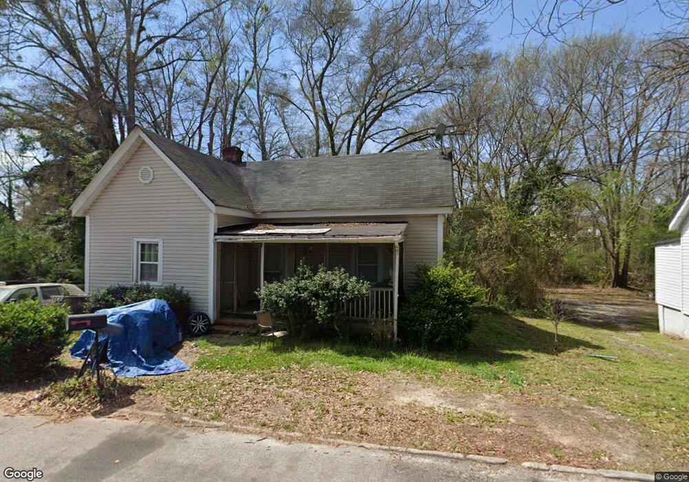
3 Canal St Lagrange, GA 30241
Estimated Value: $93,000 - $116,652
3
Beds
1
Bath
1,469
Sq Ft
$69/Sq Ft
Est. Value
About This Home
This home is located at 3 Canal St, Lagrange, GA 30241 and is currently estimated at $101,663, approximately $69 per square foot. 3 Canal St is a home located in Troup County with nearby schools including Franklin Forest Elementary School, Hollis Hand Elementary School, and Ethel W. Kight Elementary School.
Ownership History
Date
Name
Owned For
Owner Type
Purchase Details
Closed on
Apr 25, 2003
Sold by
Moore Gwendolyn
Bought by
Burton Gwendolyn D
Current Estimated Value
Purchase Details
Closed on
Mar 31, 2000
Sold by
Wilkie Ii Robert H
Bought by
Moore Gwendolyn
Purchase Details
Closed on
Dec 28, 1999
Sold by
Leatha Lorena Hartley Mitchell
Bought by
Wilkie Ii Robert H
Purchase Details
Closed on
Mar 26, 1982
Sold by
First Federal S&L
Bought by
Leatha Lorena Hartley Mitchell
Purchase Details
Closed on
Jan 8, 1979
Sold by
Winfred W Mitchell
Bought by
First Federal S&L
Purchase Details
Closed on
Jan 1, 1955
Sold by
Dunson Mills
Bought by
Winfred W Mitchell
Create a Home Valuation Report for This Property
The Home Valuation Report is an in-depth analysis detailing your home's value as well as a comparison with similar homes in the area
Purchase History
| Date | Buyer | Sale Price | Title Company |
|---|---|---|---|
| Burton Gwendolyn D | -- | -- | |
| Moore Gwendolyn | $40,000 | -- | |
| Wilkie Ii Robert H | $17,100 | -- | |
| Leatha Lorena Hartley Mitchell | -- | -- | |
| First Federal S&L | -- | -- | |
| Winfred W Mitchell | -- | -- |
Source: Public Records
Tax History
| Year | Tax Paid | Tax Assessment Tax Assessment Total Assessment is a certain percentage of the fair market value that is determined by local assessors to be the total taxable value of land and additions on the property. | Land | Improvement |
|---|---|---|---|---|
| 2025 | $1,015 | $37,204 | $4,080 | $33,124 |
| 2024 | $920 | $33,716 | $4,080 | $29,636 |
| 2023 | $787 | $28,848 | $4,080 | $24,768 |
| 2022 | $773 | $27,688 | $4,080 | $23,608 |
| 2021 | $806 | $26,708 | $4,080 | $22,628 |
| 2020 | $806 | $26,708 | $4,080 | $22,628 |
| 2019 | $794 | $26,324 | $3,984 | $22,340 |
| 2018 | $794 | $26,324 | $3,984 | $22,340 |
| 2017 | $794 | $26,324 | $3,984 | $22,340 |
| 2016 | $770 | $25,536 | $3,984 | $21,552 |
| 2015 | $771 | $25,536 | $3,984 | $21,552 |
| 2014 | $729 | $24,084 | $3,984 | $20,100 |
| 2013 | -- | $25,649 | $3,984 | $21,665 |
Source: Public Records
Map
Nearby Homes
- 4 1/2 Barnard Ave
- 2 Louise St
- 5 Curran Ave
- 15 Fulton St
- 0 E Render St
- 121 de Groat St
- 87 Youngs Mill Rd
- 204 Cleveland Dr
- 212 Cleveland Dr
- 228 E Render St
- 117 Belk St
- LOT 58 Belk St
- 119 Belk St
- LOT 65 Belk St
- LOT 66 Belk St
- 616 S Harlem Cir
- 224 Rutland Cir
- 208 Render St
- 801 Hines St
- 115 Clara Jean Ct
- 1 Canal St
- 1015 Greenville St
- 1017 Greenville St
- 1013 Greenville St
- 4 S Barnard Ave
- 4 Railroad St
- 5 Railroad St
- 3 Railroad St
- 1011 Greenville St
- 2 Railroad St
- 6 Railroad St
- 1009 Greenville St
- 1 Railroad St
- 7 Railroad St
- 3 S Barnard Ave
- 1007 Greenville St
- 8 Railroad St
- 2 S Barnard Ave
- 1005 Greenville St
- 9 Railroad St
Your Personal Tour Guide
Ask me questions while you tour the home.