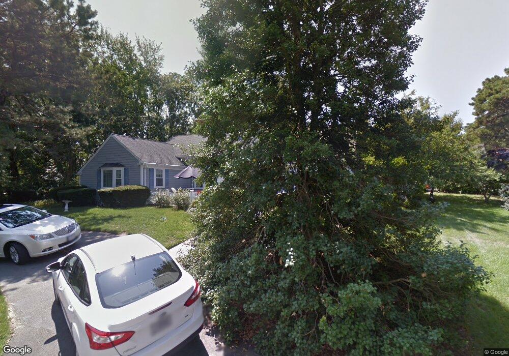
3 Captain Donald Path West Dennis, MA 02670
West Dennis NeighborhoodEstimated Value: $719,000 - $901,000
3
Beds
2
Baths
1,610
Sq Ft
$486/Sq Ft
Est. Value
About This Home
This home is located at 3 Captain Donald Path, West Dennis, MA 02670 and is currently estimated at $782,985, approximately $486 per square foot. 3 Captain Donald Path is a home located in Barnstable County with nearby schools including Dennis-Yarmouth Regional High School and St. Pius X. School.
Ownership History
Date
Name
Owned For
Owner Type
Purchase Details
Closed on
Apr 10, 2023
Sold by
Joyce Nancy A
Bought by
Nancy Joyce T and Nancy Joyce
Current Estimated Value
Create a Home Valuation Report for This Property
The Home Valuation Report is an in-depth analysis detailing your home's value as well as a comparison with similar homes in the area
Home Values in the Area
Average Home Value in this Area
Purchase History
| Date | Buyer | Sale Price | Title Company |
|---|---|---|---|
| Nancy Joyce T | -- | None Available | |
| Nancy Joyce T | -- | None Available |
Source: Public Records
Tax History Compared to Growth
Tax History
| Year | Tax Paid | Tax Assessment Tax Assessment Total Assessment is a certain percentage of the fair market value that is determined by local assessors to be the total taxable value of land and additions on the property. | Land | Improvement |
|---|---|---|---|---|
| 2025 | $3,056 | $705,800 | $163,500 | $542,300 |
| 2024 | $2,958 | $673,900 | $157,300 | $516,600 |
| 2023 | $2,849 | $610,000 | $143,000 | $467,000 |
| 2022 | $2,678 | $478,200 | $128,800 | $349,400 |
| 2021 | $2,583 | $428,400 | $126,300 | $302,100 |
| 2020 | $2,508 | $411,100 | $126,300 | $284,800 |
| 2019 | $2,329 | $377,500 | $123,800 | $253,700 |
| 2018 | $2,128 | $335,700 | $96,400 | $239,300 |
| 2017 | $2,065 | $335,700 | $96,400 | $239,300 |
| 2016 | $2,056 | $314,900 | $117,800 | $197,100 |
| 2015 | $2,032 | $317,500 | $117,800 | $199,700 |
| 2014 | $1,929 | $303,800 | $117,800 | $186,000 |
Source: Public Records
Map
Nearby Homes
- 428 Main St Unit 1-11
- 467 Main St
- 401 Main St Unit 201
- 401 Main St Unit 101
- 23 Doric Ave
- 209 Main St Unit 3
- 209 Main St Unit 6
- 209 Main St Unit 1
- 209 Main St Unit 2
- 209 Main St Unit 4
- 209 Main St Unit 5
- 14 Schoolhouse Ln
- 29 Bass River Rd
- 45 Seth Ln
- 18 Turner Ln
- 178 School St
- 3 Pinefield Ln
- 40 Kelley Rd
- 61 Trotters Ln
- 15 Woodside Park Rd
- 4 Stephen Ln
- 9 Captain Donald Path
- 11 Capt Donald Point
- 11 Captain Donald Path
- 8 Capt Donalds
- 15 Captain Donald Path
- 3 Stephen Ln
- 18 Captain Donald Path
- 22 Captain Donald Path
- 130 Cove Rd
- 123 Cove Rd
- 12 Captain Donald Path
- 30 Captain Donald Path
- 30 Capt Donalds Path
- 8 Captain Donald Path
- 117 Cove Rd
- 114 Cove Rd
- 112 Cove Rd
- 112 Cove Rd
- 114 Cove Rd