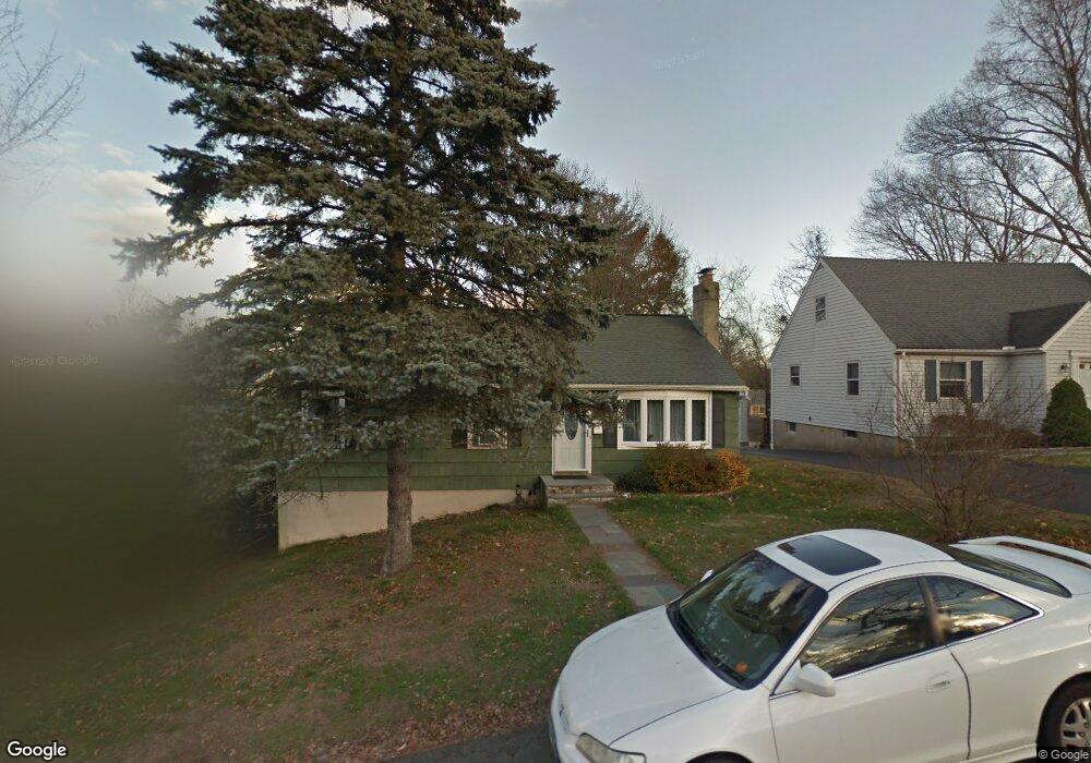
3 Carol Dr Norwalk, CT 06851
Downtown Norwalk NeighborhoodEstimated Value: $575,444 - $657,000
3
Beds
2
Baths
1,040
Sq Ft
$582/Sq Ft
Est. Value
About This Home
This home is located at 3 Carol Dr, Norwalk, CT 06851 and is currently estimated at $605,111, approximately $581 per square foot. 3 Carol Dr is a home located in Fairfield County with nearby schools including Naramake Elementary School, Nathan Hale Middle School, and Norwalk High School.
Ownership History
Date
Name
Owned For
Owner Type
Purchase Details
Closed on
Jun 18, 2010
Sold by
Greco Arthur and Greco Barbara
Bought by
Barrett Marcie L
Current Estimated Value
Home Financials for this Owner
Home Financials are based on the most recent Mortgage that was taken out on this home.
Original Mortgage
$309,250
Outstanding Balance
$201,065
Interest Rate
4.37%
Mortgage Type
FHA
Estimated Equity
$404,046
Create a Home Valuation Report for This Property
The Home Valuation Report is an in-depth analysis detailing your home's value as well as a comparison with similar homes in the area
Home Values in the Area
Average Home Value in this Area
Purchase History
| Date | Buyer | Sale Price | Title Company |
|---|---|---|---|
| Barrett Marcie L | $315,000 | -- | |
| Barrett Marcie L | $315,000 | -- |
Source: Public Records
Mortgage History
| Date | Status | Borrower | Loan Amount |
|---|---|---|---|
| Open | Barrett Marcie L | $309,250 | |
| Closed | Barrett Marcie L | $309,250 | |
| Previous Owner | Barrett Marcie L | $242,166 |
Source: Public Records
Tax History Compared to Growth
Tax History
| Year | Tax Paid | Tax Assessment Tax Assessment Total Assessment is a certain percentage of the fair market value that is determined by local assessors to be the total taxable value of land and additions on the property. | Land | Improvement |
|---|---|---|---|---|
| 2025 | $6,877 | $289,700 | $151,040 | $138,660 |
| 2024 | $6,772 | $289,700 | $151,040 | $138,660 |
| 2023 | $5,484 | $217,970 | $115,380 | $102,590 |
| 2022 | $5,382 | $217,970 | $115,380 | $102,590 |
| 2021 | $5,242 | $217,970 | $115,380 | $102,590 |
| 2020 | $5,239 | $217,970 | $115,380 | $102,590 |
| 2019 | $5,093 | $217,970 | $115,380 | $102,590 |
| 2018 | $5,550 | $208,180 | $125,690 | $82,490 |
| 2017 | $5,360 | $208,180 | $125,690 | $82,490 |
| 2016 | $5,334 | $209,160 | $125,690 | $83,470 |
| 2015 | $5,294 | $208,180 | $125,690 | $82,490 |
| 2014 | $5,225 | $208,180 | $125,690 | $82,490 |
Source: Public Records
Map
Nearby Homes
- 6 Willow St
- 1 1/2 Colony Place
- 142 East Ave Unit A103
- 142 East Ave Unit 403
- 142 East Ave Unit A304
- 144 East Ave Unit B404
- 142 East Ave Unit A102
- 14 Dairy Farm Rd
- 162 Strawberry Hill Ave
- 2 Clearview Ave
- 16 Elton Ct
- 16 Katy Ln
- 14 Scofield Place
- 18 Roxbury Rd
- 189 East Ave
- 30 Merwin St Unit 6
- 30 Merwin St Unit 1
- 77 Walter Ave
- 49 Barbara Dr
- 9 Park St Unit 217