3 Channel Dr Addison, MI 49220
Estimated Value: $231,310 - $331,000
3
Beds
1
Bath
960
Sq Ft
$299/Sq Ft
Est. Value
About This Home
This home is located at 3 Channel Dr, Addison, MI 49220 and is currently estimated at $286,578, approximately $298 per square foot. 3 Channel Dr is a home located in Lenawee County with nearby schools including Columbia Lower Elementary School, Columbia Upper Elementary School, and Columbia Central Jr./Sr. High School.
Ownership History
Date
Name
Owned For
Owner Type
Purchase Details
Closed on
Oct 22, 2009
Sold by
Johnson Nathaniel K and Johnson Janene
Bought by
Johnson Nathaniel K and Johnson Janene
Current Estimated Value
Home Financials for this Owner
Home Financials are based on the most recent Mortgage that was taken out on this home.
Original Mortgage
$91,920
Outstanding Balance
$60,693
Interest Rate
5.38%
Mortgage Type
New Conventional
Estimated Equity
$225,885
Purchase Details
Closed on
Sep 11, 2009
Sold by
Helmlinger Sue and Henry Wonsetler Sue L
Bought by
Johnson Nathaniel K and Johnson Janene
Home Financials for this Owner
Home Financials are based on the most recent Mortgage that was taken out on this home.
Original Mortgage
$91,920
Outstanding Balance
$60,693
Interest Rate
5.38%
Mortgage Type
New Conventional
Estimated Equity
$225,885
Create a Home Valuation Report for This Property
The Home Valuation Report is an in-depth analysis detailing your home's value as well as a comparison with similar homes in the area
Purchase History
| Date | Buyer | Sale Price | Title Company |
|---|---|---|---|
| Johnson Nathaniel K | -- | Midstate Title | |
| Johnson Nathaniel K | $114,900 | Attorneys Title |
Source: Public Records
Mortgage History
| Date | Status | Borrower | Loan Amount |
|---|---|---|---|
| Open | Johnson Nathaniel K | $91,920 |
Source: Public Records
Tax History
| Year | Tax Paid | Tax Assessment Tax Assessment Total Assessment is a certain percentage of the fair market value that is determined by local assessors to be the total taxable value of land and additions on the property. | Land | Improvement |
|---|---|---|---|---|
| 2025 | $2,789 | $88,900 | $0 | $0 |
| 2024 | $23 | $91,600 | $0 | $0 |
| 2023 | $2,645 | $84,000 | $0 | $0 |
| 2022 | $2,480 | $59,200 | $0 | $0 |
| 2021 | $2,454 | $59,400 | $0 | $0 |
| 2020 | $2,401 | $53,700 | $0 | $0 |
| 2019 | $178,699 | $53,700 | $0 | $0 |
| 2018 | $2,769 | $43,276 | $0 | $0 |
| 2017 | $2,686 | $43,615 | $0 | $0 |
| 2016 | $2,663 | $42,938 | $0 | $0 |
| 2014 | -- | $32,541 | $0 | $0 |
Source: Public Records
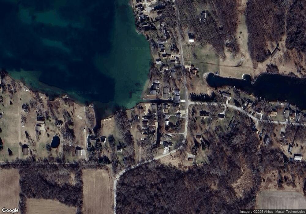
Map
Nearby Homes
- 10902 Devils Lake Hwy
- 15281 U S 12
- 11000 Silver Lake Hwy
- 16527 U S 12
- Lot 62 Pamawa Dr
- 61 Pamawa Dr
- 0 Silver Lake Hwy Unit Parcel 1
- 9304 Parkhurst Hwy
- 10911 Devils Lake Hwy
- 8000 Parkhurst Hwy Unit Carroll Dr ((1175)
- 17475 U S 223
- 17550 U S 12
- 599 Woodstock St
- 129 Kathy Ln
- 12938 Kelley Rd
- 261 Somerset Dr
- 6820 Devils Lake Hwy
- 6770 Cement City Rd
- 5935 Tower Dr
- 13161 Vischer Rd
- 10400 Devils Lake Hwy
- 10934 Devils Lake Hwy
- 10246 Devils Lake Hwy
- 0 Channel
- 1041 Devils Lake Hwy
- 10926 Devils Lake Hwy
- 10874 Devils Lake Hwy
- 1036 Devils Lake Hwy
- 10912 Devils Lake Hwy
- 10886 Devils Lake Hwy
- 10910 Wallace Ln
- 10777 Devils Lake Hwy
- 10034 Channel Dr
- 10724 Devils Lake Hwy
- 10734 Channel Ln
- 10044 Channel Ln
- 10044 Channel Ln
- 10034 Channel Ln
- 11000 Silver Lake Hwy
- 10888 Devils Lake Hwy
Your Personal Tour Guide
Ask me questions while you tour the home.