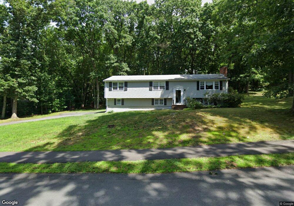
3 Clover Ln Natick, MA 01760
Estimated Value: $854,094 - $1,235,000
4
Beds
3
Baths
1,560
Sq Ft
$689/Sq Ft
Est. Value
About This Home
This home is located at 3 Clover Ln, Natick, MA 01760 and is currently estimated at $1,074,274, approximately $688 per square foot. 3 Clover Ln is a home located in Middlesex County with nearby schools including Natick High School, Memorial Elementary School, and J F Kennedy Middle School.
Ownership History
Date
Name
Owned For
Owner Type
Purchase Details
Closed on
Dec 14, 1995
Sold by
Daniels Martin and Daniels Sandra M
Bought by
Stroobant Paul and Stroobant Ann C
Current Estimated Value
Home Financials for this Owner
Home Financials are based on the most recent Mortgage that was taken out on this home.
Original Mortgage
$224,000
Interest Rate
7.43%
Mortgage Type
Purchase Money Mortgage
Create a Home Valuation Report for This Property
The Home Valuation Report is an in-depth analysis detailing your home's value as well as a comparison with similar homes in the area
Home Values in the Area
Average Home Value in this Area
Purchase History
| Date | Buyer | Sale Price | Title Company |
|---|---|---|---|
| Stroobant Paul | $280,000 | -- |
Source: Public Records
Mortgage History
| Date | Status | Borrower | Loan Amount |
|---|---|---|---|
| Open | Stroobant Paul | $308,800 | |
| Closed | Stroobant Paul | $224,000 |
Source: Public Records
Tax History
| Year | Tax Paid | Tax Assessment Tax Assessment Total Assessment is a certain percentage of the fair market value that is determined by local assessors to be the total taxable value of land and additions on the property. | Land | Improvement |
|---|---|---|---|---|
| 2025 | $9,900 | $827,800 | $549,000 | $278,800 |
| 2024 | $9,548 | $778,800 | $518,500 | $260,300 |
| 2023 | $9,788 | $774,400 | $518,700 | $255,700 |
| 2022 | $8,912 | $668,100 | $429,000 | $239,100 |
| 2021 | $8,551 | $628,300 | $405,500 | $222,800 |
| 2020 | $8,312 | $610,700 | $387,900 | $222,800 |
| 2019 | $7,762 | $610,700 | $387,900 | $222,800 |
| 2018 | $7,341 | $562,500 | $371,100 | $191,400 |
| 2017 | $7,235 | $536,300 | $359,700 | $176,600 |
| 2016 | $7,256 | $534,700 | $359,700 | $175,000 |
| 2015 | $7,193 | $520,500 | $359,700 | $160,800 |
Source: Public Records
Map
Nearby Homes
- 81 Woodland St
- 165 Woodland St
- 189 Eliot St
- 104 Eliot St
- 211 Eliot St
- 83 Eliot St
- 11 Avon St
- 14 Pinewood Ave
- 16 Wayside Rd Unit 14
- 8 Floral Ave Unit 8
- 48 Algonquian Dr
- 18 Phillips Pond Rd
- 5 Wilson St Unit 5A
- 6A Lincoln St Unit 6A
- 67 E Central St & 5 Union St
- 6 Hopewell Farm Rd
- 12 Floral Ave
- 216-218 S Main St
- 3A Wilson St Unit 3A
- 4B Lincoln St Unit 4B
- 30 Morningside Ave
- 31 Morningside Ave
- 28 Morningside Ave
- 29 Morningside Ave
- 4 Clover Ln
- 6 Clover Ln
- 26 Morningside Ave
- 27 Morningside Ave
- 97 Woodland St
- 7 Clover Ln
- 8 Clover Ln
- 93 Woodland St
- 2 Clover Ln
- 25 Morningside Ave
- 24 Morningside Ave
- 89 Woodland St
- 7 Clover Terrace
- 23 Morningside Ave
- 9 Clover Terrace
- 9 Clover Ln
Your Personal Tour Guide
Ask me questions while you tour the home.