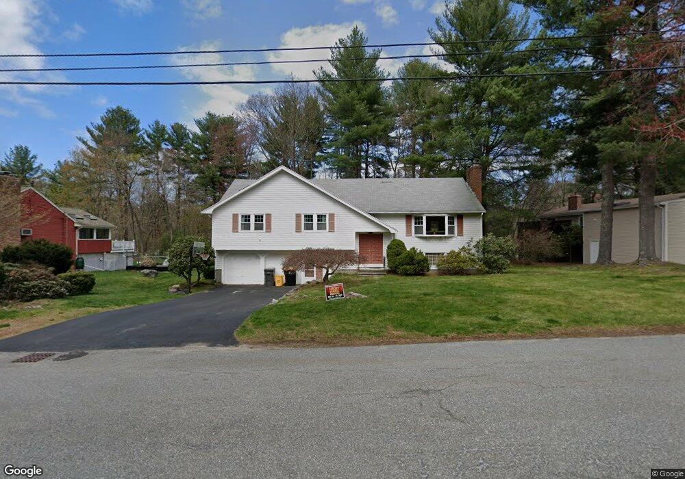
3 Colonial Dr Framingham, MA 01701
Nobscot NeighborhoodEstimated Value: $762,000 - $824,000
4
Beds
3
Baths
2,535
Sq Ft
$308/Sq Ft
Est. Value
About This Home
This home is located at 3 Colonial Dr, Framingham, MA 01701 and is currently estimated at $780,472, approximately $307 per square foot. 3 Colonial Dr is a home located in Middlesex County with nearby schools including Framingham High School, MetroWest Jewish Day School, and Sudbury Valley School.
Ownership History
Date
Name
Owned For
Owner Type
Purchase Details
Closed on
Mar 26, 2010
Sold by
Currier Eleanor Mae Es and Currier Geddes
Bought by
Patrick Cory M and Patrick Nelia F
Current Estimated Value
Home Financials for this Owner
Home Financials are based on the most recent Mortgage that was taken out on this home.
Original Mortgage
$288,800
Outstanding Balance
$192,541
Interest Rate
5.02%
Mortgage Type
Purchase Money Mortgage
Estimated Equity
$587,931
Purchase Details
Closed on
May 22, 2007
Sold by
Currier Philip S
Bought by
Currier Eleanor
Create a Home Valuation Report for This Property
The Home Valuation Report is an in-depth analysis detailing your home's value as well as a comparison with similar homes in the area
Home Values in the Area
Average Home Value in this Area
Purchase History
| Date | Buyer | Sale Price | Title Company |
|---|---|---|---|
| Patrick Cory M | $361,000 | -- | |
| Patrick Cory M | $361,000 | -- | |
| Currier Eleanor | -- | -- | |
| Currier Eleanor | -- | -- |
Source: Public Records
Mortgage History
| Date | Status | Borrower | Loan Amount |
|---|---|---|---|
| Open | Patrick Cory M | $288,800 | |
| Closed | Currier Eleanor | $288,800 | |
| Previous Owner | Currier Eleanor | $50,000 |
Source: Public Records
Tax History
| Year | Tax Paid | Tax Assessment Tax Assessment Total Assessment is a certain percentage of the fair market value that is determined by local assessors to be the total taxable value of land and additions on the property. | Land | Improvement |
|---|---|---|---|---|
| 2025 | $8,074 | $676,200 | $271,300 | $404,900 |
| 2024 | $7,597 | $609,700 | $242,300 | $367,400 |
| 2023 | $7,192 | $549,400 | $216,300 | $333,100 |
| 2022 | $6,899 | $502,100 | $196,300 | $305,800 |
| 2021 | $6,804 | $484,300 | $188,700 | $295,600 |
| 2020 | $6,894 | $460,200 | $171,400 | $288,800 |
| 2019 | $6,818 | $443,300 | $171,400 | $271,900 |
| 2018 | $6,663 | $408,300 | $165,000 | $243,300 |
| 2017 | $6,430 | $384,800 | $160,200 | $224,600 |
| 2016 | $6,189 | $356,100 | $160,200 | $195,900 |
| 2015 | $6,353 | $356,500 | $160,800 | $195,700 |
Source: Public Records
Map
Nearby Homes
- 9 Lands End Ln
- 32 Eaton Rd W
- 32 Old Framingham Rd Unit 41
- 30 Nobscot Rd Unit 1
- 10 Rolling Ln
- 472 Potter Rd
- 17 Oakvale Rd
- 10 Wright Rd
- 173 Nobscot Rd
- 7 Bayberry Ln
- 0 Wagonwheel Rd
- 16 Bayberry Ln
- 1011 Boston Post Rd
- 15 Adams Rd
- 915 Edgell Rd Unit 61
- 87 Landham Rd
- 25 Adams Rd
- 11 Edith Rd
- 21 Potter Rd
- 10 Brookside Farm Ln
Your Personal Tour Guide
Ask me questions while you tour the home.