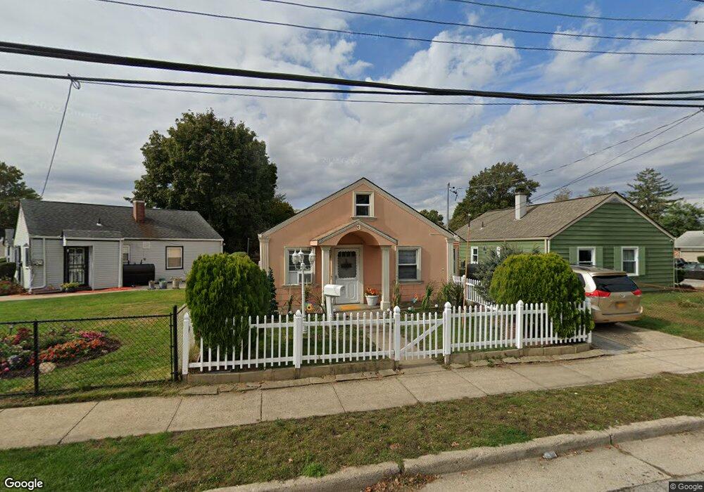
3 Commander Ave Hempstead, NY 11550
Estimated Value: $460,476 - $554,000
Studio
1
Bath
1,020
Sq Ft
$497/Sq Ft
Est. Value
About This Home
This home is located at 3 Commander Ave, Hempstead, NY 11550 and is currently estimated at $507,238, approximately $497 per square foot. 3 Commander Ave is a home located in Nassau County with nearby schools including Uniondale Elementary School, The Academy Charter School, and Hebrew Academy of Nassau County Middle School and Brookdale High School.
Ownership History
Date
Name
Owned For
Owner Type
Purchase Details
Closed on
Oct 23, 2017
Sold by
Barzola Jorge
Bought by
Barzola Jorge and Barzola Sonnia
Current Estimated Value
Home Financials for this Owner
Home Financials are based on the most recent Mortgage that was taken out on this home.
Original Mortgage
$115,691
Outstanding Balance
$96,660
Interest Rate
3.83%
Mortgage Type
New Conventional
Estimated Equity
$410,578
Purchase Details
Closed on
Nov 23, 2005
Sold by
Bdlak Equity Inc
Bought by
Barzola Jorge
Purchase Details
Closed on
Sep 21, 2005
Sold by
Moore A Patricia
Create a Home Valuation Report for This Property
The Home Valuation Report is an in-depth analysis detailing your home's value as well as a comparison with similar homes in the area
Home Values in the Area
Average Home Value in this Area
Purchase History
| Date | Buyer | Sale Price | Title Company |
|---|---|---|---|
| Barzola Jorge | -- | -- | |
| Barzola Jorge | $330,000 | -- | |
| -- | $210,000 | -- |
Source: Public Records
Mortgage History
| Date | Status | Borrower | Loan Amount |
|---|---|---|---|
| Open | Barzola Jorge | $115,691 |
Source: Public Records
Tax History
| Year | Tax Paid | Tax Assessment Tax Assessment Total Assessment is a certain percentage of the fair market value that is determined by local assessors to be the total taxable value of land and additions on the property. | Land | Improvement |
|---|---|---|---|---|
| 2025 | $3,444 | $260 | $100 | $160 |
| 2024 | $611 | $260 | $100 | $160 |
Source: Public Records
Map
Nearby Homes
- 6 Boylston St
- 7 Pilot St
- 58 Remsen Ave
- 69 Harriet Ave
- 210 Dartmouth St
- 296 Harvard St
- 186 Westbury Blvd
- 155 Rhodes Ave
- 136 Fairview Blvd
- 126 Fairview Blvd
- 140 Amherst St
- 133 Wellington St
- 95 Rhodes Ave
- 8 College Place
- 64 Fairview Blvd
- 361 E Columbia St
- 113 Stewart Ave
- 93 Princeton St
- 66 Warner Ave
- 297 E Columbia St
Your Personal Tour Guide
Ask me questions while you tour the home.