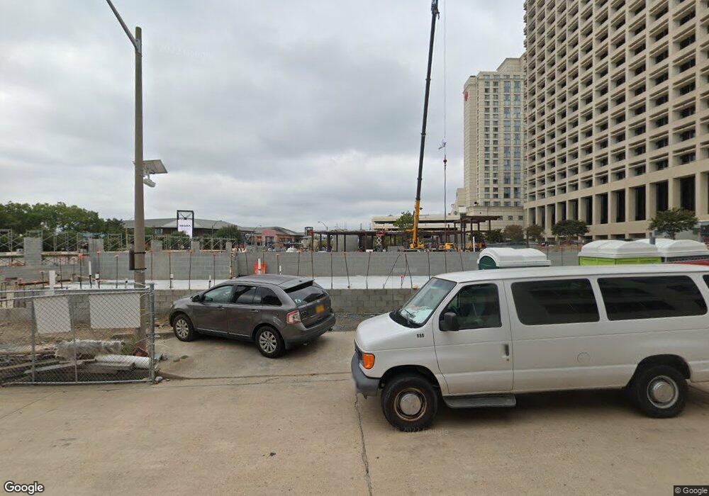
3 Commercial Place Norfolk, VA 23510
Downtown Norfolk NeighborhoodEstimated Value: $39,312,264
--
Bed
--
Bath
388,308
Sq Ft
$101/Sq Ft
Est. Value
About This Home
This home is located at 3 Commercial Place, Norfolk, VA 23510 and is currently priced at $39,312,264, approximately $101 per square foot. 3 Commercial Place is a home located in Norfolk City with nearby schools including P.B. Young Sr. Elementary School, Tidewater Park Elementary School, and Blair Middle School.
Ownership History
Date
Name
Owned For
Owner Type
Purchase Details
Closed on
Jun 19, 2020
Sold by
Townebank
Bought by
Townebank and Childrens Hospital Of The Kings Daughter
Current Estimated Value
Purchase Details
Closed on
Jun 18, 2020
Sold by
Southern Region Industrial Realty Inc
Bought by
Childrens Hospital Of The Kings Daughter and Townebank
Create a Home Valuation Report for This Property
The Home Valuation Report is an in-depth analysis detailing your home's value as well as a comparison with similar homes in the area
Home Values in the Area
Average Home Value in this Area
Purchase History
| Date | Buyer | Sale Price | Title Company |
|---|---|---|---|
| Townebank | -- | None Available | |
| Childrens Hospital Of The Kings Daughter | $30,000,000 | Bridgetrust Title Group |
Source: Public Records
Tax History Compared to Growth
Tax History
| Year | Tax Paid | Tax Assessment Tax Assessment Total Assessment is a certain percentage of the fair market value that is determined by local assessors to be the total taxable value of land and additions on the property. | Land | Improvement |
|---|---|---|---|---|
| 2022 | $785,053 | $55,677,500 | $1,677,700 | $53,999,800 |
| 2021 | $777,850 | $55,166,700 | $1,677,700 | $53,489,000 |
| 2020 | $777,850 | $55,166,700 | $1,677,700 | $53,489,000 |
| 2019 | $697,183 | $49,445,600 | $1,677,700 | $47,767,900 |
| 2018 | $620,462 | $44,004,400 | $1,342,200 | $42,662,200 |
| 2017 | $571,531 | $43,628,300 | $1,342,200 | $42,286,100 |
| 2016 | $571,531 | $43,823,200 | $1,342,200 | $42,481,000 |
| 2015 | $607,072 | $43,823,200 | $1,342,200 | $42,481,000 |
| 2014 | $607,072 | $43,823,200 | $1,342,200 | $42,481,000 |
Source: Public Records
Map
Nearby Homes
- Lot 67 Atlantic St Unit 67
- 219 Granby St Unit 22
- 241 Granby St Unit 40
- 215 Brooke Ave Unit 1004
- 415 Saint Pauls Blvd Unit 509
- 415 Saint Pauls Blvd Unit 309
- 415 Saint Pauls Blvd Unit 202
- 415 Saint Pauls Blvd Unit 109
- 415 Saint Pauls Blvd Unit 709
- 435 E Freemason St Unit 3A
- 415 St Pauls Blvd Unit 105
- 123 College Place Unit 805
- 123 College Place Unit 1204
- 123 College Place Unit 1402
- 123 College Place Unit P6
- 525 E Freemason St Unit 1A
- 230 W Tazewell St Unit 205
- 433 Saint Pauls Blvd Unit 2D
- 388 Boush St Unit 108
- 388 Boush St Unit 122