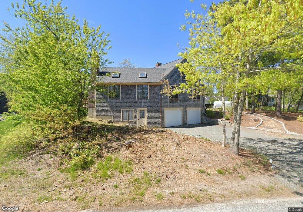
3 Concord Ln Yarmouth Port, MA 02675
Yarmouth Port NeighborhoodEstimated Value: $621,027 - $734,000
4
Beds
3
Baths
1,674
Sq Ft
$405/Sq Ft
Est. Value
About This Home
This home is located at 3 Concord Ln, Yarmouth Port, MA 02675 and is currently estimated at $677,757, approximately $404 per square foot. 3 Concord Ln is a home located in Barnstable County with nearby schools including Dennis-Yarmouth Regional High School.
Ownership History
Date
Name
Owned For
Owner Type
Purchase Details
Closed on
Jul 3, 1998
Sold by
Tremont At Union Lp
Bought by
Druley John L
Current Estimated Value
Home Financials for this Owner
Home Financials are based on the most recent Mortgage that was taken out on this home.
Original Mortgage
$40,000
Outstanding Balance
$8,214
Interest Rate
7.04%
Mortgage Type
Purchase Money Mortgage
Estimated Equity
$669,543
Purchase Details
Closed on
Jan 17, 1997
Sold by
Howes William G and Coet Ruth Mae
Bought by
Tremont At Union Lp
Purchase Details
Closed on
Jun 15, 1978
Bought by
Collings Brian N
Create a Home Valuation Report for This Property
The Home Valuation Report is an in-depth analysis detailing your home's value as well as a comparison with similar homes in the area
Home Values in the Area
Average Home Value in this Area
Purchase History
| Date | Buyer | Sale Price | Title Company |
|---|---|---|---|
| Druley John L | $40,000 | -- | |
| Tremont At Union Lp | $62,000 | -- | |
| Collings Brian N | -- | -- |
Source: Public Records
Mortgage History
| Date | Status | Borrower | Loan Amount |
|---|---|---|---|
| Open | Collings Brian N | $40,000 |
Source: Public Records
Tax History Compared to Growth
Tax History
| Year | Tax Paid | Tax Assessment Tax Assessment Total Assessment is a certain percentage of the fair market value that is determined by local assessors to be the total taxable value of land and additions on the property. | Land | Improvement |
|---|---|---|---|---|
| 2025 | $4,004 | $565,500 | $165,300 | $400,200 |
| 2024 | $3,712 | $503,000 | $143,800 | $359,200 |
| 2023 | $3,720 | $458,700 | $130,700 | $328,000 |
| 2022 | $3,421 | $372,700 | $124,700 | $248,000 |
| 2021 | $3,364 | $351,900 | $124,700 | $227,200 |
| 2020 | $3,320 | $332,000 | $132,000 | $200,000 |
| 2019 | $3,111 | $308,000 | $132,000 | $176,000 |
| 2018 | $2,943 | $286,000 | $110,000 | $176,000 |
| 2017 | $2,866 | $286,000 | $110,000 | $176,000 |
| 2016 | $2,766 | $277,200 | $101,200 | $176,000 |
| 2015 | $2,616 | $260,600 | $96,800 | $163,800 |
Source: Public Records
Map
Nearby Homes
- 209 Union St
- 32 Deveau Ln
- 8 Rowley Ln
- 882 W Yarmouth Rd
- 933-935 W Yarmouth Rd
- 34 Ridgewood Dr
- 1 Barnacle Rd
- 24 Minnetuxet Way
- 16 Warren Rd Unit 16
- 16 Warren Rd
- 10 Balsam Way
- 50 Cottonwood St
- 86 Pompano Rd
- 23 Dauphine Dr
- 371 Route 6a
- 25 Oak Glen
- 25 Oak Glen Village Unit 25
- 2 Pine Grove
- 43 Canterbury Rd
- 0 Forsyth Ave