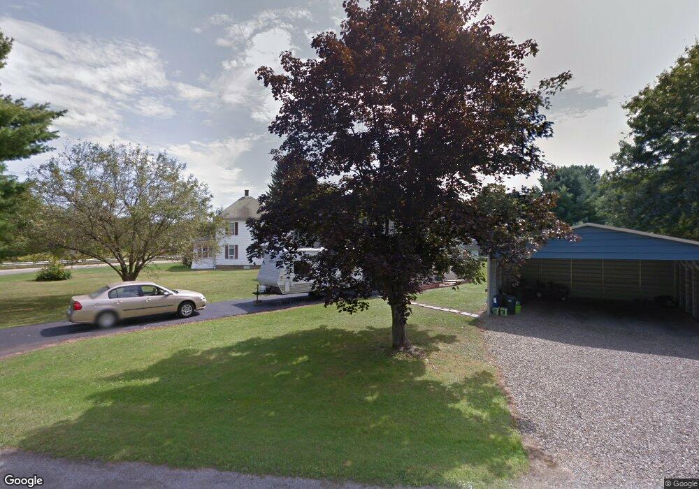
3 Creekwood Dr Warren, PA 16365
Estimated Value: $106,000 - $169,000
3
Beds
2
Baths
994
Sq Ft
$146/Sq Ft
Est. Value
About This Home
This home is located at 3 Creekwood Dr, Warren, PA 16365 and is currently estimated at $145,429, approximately $146 per square foot. 3 Creekwood Dr is a home located in Warren County with nearby schools including Warren Area Elementary Center, Beaty-Warren Middle School, and Warren Area High School.
Ownership History
Date
Name
Owned For
Owner Type
Purchase Details
Closed on
Oct 11, 2023
Sold by
Smith Michael A and Smith Mary B
Bought by
Nuhfer Crystal M
Current Estimated Value
Home Financials for this Owner
Home Financials are based on the most recent Mortgage that was taken out on this home.
Original Mortgage
$140,404
Outstanding Balance
$137,674
Interest Rate
7.18%
Mortgage Type
New Conventional
Estimated Equity
$7,755
Purchase Details
Closed on
Aug 15, 2008
Bought by
Smith Michael A and Smith Mary B
Create a Home Valuation Report for This Property
The Home Valuation Report is an in-depth analysis detailing your home's value as well as a comparison with similar homes in the area
Home Values in the Area
Average Home Value in this Area
Purchase History
| Date | Buyer | Sale Price | Title Company |
|---|---|---|---|
| Nuhfer Crystal M | -- | None Listed On Document | |
| Smith Michael A | $125,000 | -- |
Source: Public Records
Mortgage History
| Date | Status | Borrower | Loan Amount |
|---|---|---|---|
| Open | Nuhfer Crystal M | $140,404 |
Source: Public Records
Tax History Compared to Growth
Tax History
| Year | Tax Paid | Tax Assessment Tax Assessment Total Assessment is a certain percentage of the fair market value that is determined by local assessors to be the total taxable value of land and additions on the property. | Land | Improvement |
|---|---|---|---|---|
| 2024 | $2,160 | $23,718 | $2,885 | $20,833 |
| 2023 | $1,688 | $23,718 | $2,885 | $20,833 |
| 2022 | $2,018 | $23,718 | $2,885 | $20,833 |
| 2021 | $2,006 | $23,718 | $0 | $0 |
| 2020 | $1,970 | $23,568 | $2,886 | $20,682 |
| 2019 | $1,970 | $23,568 | $2,886 | $20,682 |
| 2018 | $1,964 | $23,568 | $2,886 | $20,682 |
| 2017 | $1,885 | $23,568 | $2,886 | $20,682 |
| 2016 | $1,849 | $23,568 | $0 | $0 |
| 2015 | -- | $23,568 | $0 | $0 |
| 2014 | -- | $23,568 | $0 | $0 |
| 2013 | -- | $23,568 | $2,886 | $20,682 |
Source: Public Records
Map
Nearby Homes
- 85 Mohawk Ave
- 321 Breeze Point Cir
- 1921 Pennsylvania 59
- 107 Buchanan St
- 32 Brook St
- 20 N Parker St
- 114 Central Ave
- 113 Dartmouth St
- 11 Monroe St
- 6 Alson St
- 103 Beaty St
- 1201 Conewango Ave
- 3 Belmont Dr
- 9 Vine St
- 7 Woods Rd
- 16 Maple Place
- 2921 Cobham Park Rd
- 00 Route 62
- 00 Route 62 Unit LotWP001
- 69 Railroad St