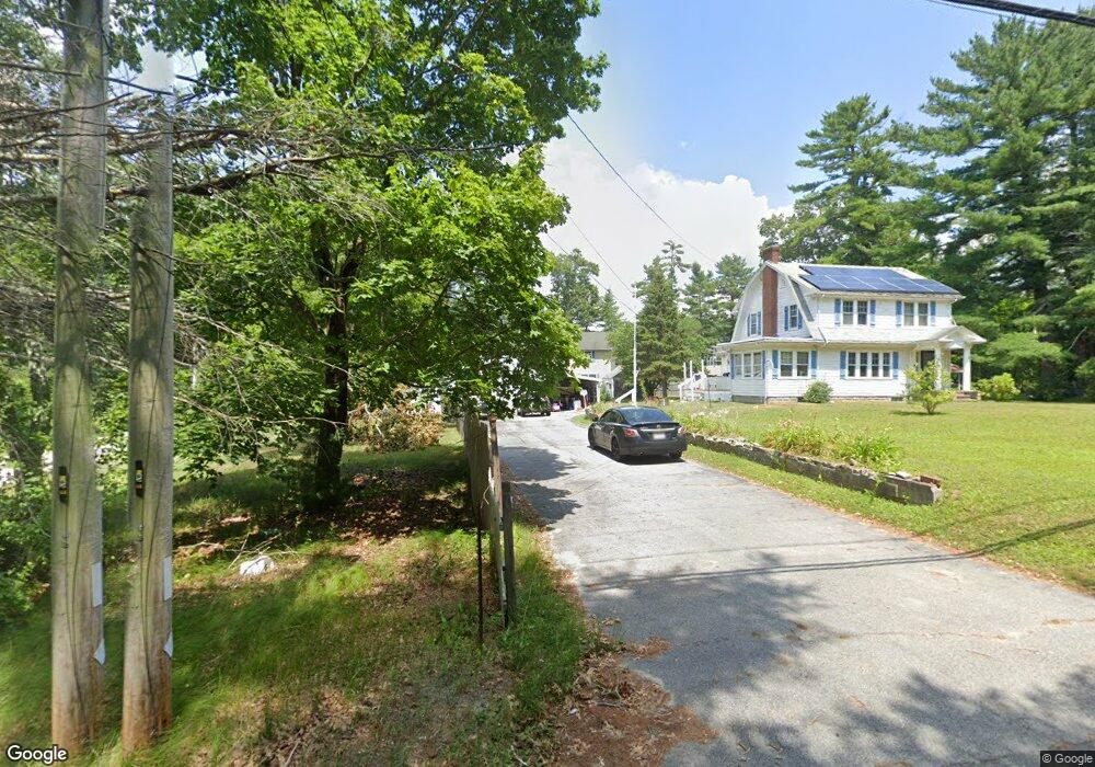
3 Davids Way West Wareham, MA 02576
Estimated Value: $612,000 - $762,000
6
Beds
4
Baths
3,136
Sq Ft
$221/Sq Ft
Est. Value
About This Home
This home is located at 3 Davids Way, West Wareham, MA 02576 and is currently estimated at $692,768, approximately $220 per square foot. 3 Davids Way is a home located in Plymouth County.
Ownership History
Date
Name
Owned For
Owner Type
Purchase Details
Closed on
Nov 5, 2014
Sold by
Gendron David B
Bought by
Gendron Patricia E and Berche Patricia E
Current Estimated Value
Purchase Details
Closed on
Aug 23, 2004
Sold by
Gendron Dorine Lee
Bought by
Gendron David B and Gendron Patricia E
Create a Home Valuation Report for This Property
The Home Valuation Report is an in-depth analysis detailing your home's value as well as a comparison with similar homes in the area
Home Values in the Area
Average Home Value in this Area
Purchase History
| Date | Buyer | Sale Price | Title Company |
|---|---|---|---|
| Gendron Patricia E | -- | -- | |
| Gendron Patricia E | -- | -- | |
| Gendron David B | -- | -- | |
| Gendron David B | -- | -- |
Source: Public Records
Mortgage History
| Date | Status | Borrower | Loan Amount |
|---|---|---|---|
| Previous Owner | Gendron David B | $100,000 | |
| Previous Owner | Gendron David B | $253,000 | |
| Previous Owner | Gendron David B | $180,000 |
Source: Public Records
Tax History
| Year | Tax Paid | Tax Assessment Tax Assessment Total Assessment is a certain percentage of the fair market value that is determined by local assessors to be the total taxable value of land and additions on the property. | Land | Improvement |
|---|---|---|---|---|
| 2025 | $6,158 | $591,000 | $111,300 | $479,700 |
| 2024 | $6,340 | $564,600 | $89,300 | $475,300 |
| 2023 | $6,968 | $547,400 | $81,100 | $466,300 |
| 2022 | $6,968 | $528,700 | $81,100 | $447,600 |
| 2021 | $5,681 | $422,400 | $81,100 | $341,300 |
| 2020 | $5,601 | $422,400 | $81,100 | $341,300 |
| 2019 | $4,986 | $375,200 | $85,800 | $289,400 |
| 2018 | $4,708 | $345,400 | $85,800 | $259,600 |
| 2017 | $4,585 | $340,900 | $85,800 | $255,100 |
| 2016 | $4,396 | $324,900 | $90,100 | $234,800 |
| 2015 | $4,512 | $345,200 | $90,100 | $255,100 |
| 2014 | $4,339 | $337,700 | $80,900 | $256,800 |
Source: Public Records
Map
Nearby Homes
- 1 Gault Rd Unit 10
- 51 Crest Dr
- 27 Siesta Dr
- 32 Gault Rd
- 41 Longboat Rd
- 87 Great Hill Dr
- 47 Weaver St
- 189 Pine View Terrace
- 8 Windy Hill Dr
- 17 Station St
- 1 Emma Ln Unit B
- 46 Helen St
- 19 Station St
- 7 Maud Palmer Dr
- 44 Helen St
- 9 White Pine Ave
- 4 White Pine Ave
- 7 Crane Landing Rd
- 490 High St
- 19 Colby Dr
- 3 Davids Way Unit B
- 3-A&B Davids Way
- 11 Gault Rd
- 2345 Cranberry Hwy
- 2345 Cranberry Hwy
- 2343 Cranberry Hwy
- 2347 Cranberry Hwy
- 2347 Cranberry Hwy Unit 2347
- 2347 Cranberry Hwy Unit 2
- 2347 Cranberry Hwy Unit 1/L
- 9 Gault Rd
- 15 Gault Rd
- 1 Gault Rd Unit 9
- 1 Gault Rd Unit 8
- 1 Gault Rd Unit 7
- 1 Gault Rd Unit 6
- 1 Gault Rd Unit 5
- 1 Gault Rd Unit 4
- 1 Gault Rd Unit 3
- 1 Gault Rd Unit 2
Your Personal Tour Guide
Ask me questions while you tour the home.