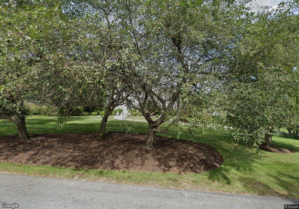
3 Dopping Brook Rd Sherborn, MA 01770
Estimated Value: $1,141,000 - $1,369,000
About This Home
This home is located at 3 Dopping Brook Rd, Sherborn, MA 01770 and is currently estimated at $1,229,116, approximately $436 per square foot. 3 Dopping Brook Rd is a home located in Middlesex County with nearby schools including Pine Hill Elementary School, Dover-Sherborn Regional Middle School, and Dover-Sherborn Regional High School.
Ownership History
We collect this data history from publicly available records. To have your information removed, we recommend requesting removal directly through your county’s website.
Purchase Details
Purchase Details
Purchase Details
Purchase Details
Home Values in the Area
Average Home Value in this Area
Purchase History
We collect this data history from publicly available records. To have your information removed, we recommend requesting removal directly through your county’s website.
| Date | Buyer | Sale Price | Title Company |
|---|---|---|---|
| -- | None Available | ||
| -- | None Available | ||
| -- | None Available | ||
| -- | -- | ||
| $55,500 | -- |
Tax History
We collect this data history from publicly available records. To have your information removed, we recommend requesting removal directly through your county’s website.
| Year | Tax Paid | Tax Assessment Tax Assessment Total Assessment is a certain percentage of the fair market value that is determined by local assessors to be the total taxable value of land and additions on the property. | Land | Improvement |
|---|---|---|---|---|
| 2025 | $14,760 | $890,200 | $473,900 | $416,300 |
| 2024 | $13,974 | $824,400 | $465,200 | $359,200 |
| 2023 | $13,228 | $734,500 | $465,200 | $269,300 |
| 2022 | $12,965 | $681,300 | $453,400 | $227,900 |
| 2021 | $13,025 | $663,500 | $453,400 | $210,100 |
| 2020 | $12,912 | $663,500 | $453,400 | $210,100 |
| 2019 | $12,965 | $660,800 | $453,400 | $207,400 |
| 2018 | $12,620 | $653,900 | $453,400 | $200,500 |
| 2017 | $12,755 | $623,400 | $447,600 | $175,800 |
| 2016 | $12,145 | $590,400 | $418,800 | $171,600 |
| 2015 | $11,515 | $566,700 | $407,200 | $159,500 |
| 2014 | $11,287 | $554,900 | $395,700 | $159,200 |
Map
- 3 Knollcrest Farm Ln
- 29 Southfield Ln Unit 29
- 26 Southfield Ln Unit 26
- 177 Maple St
- 147 Washington Street Lot 2
- 2 Whitney Dr
- 120 Mohawk Path
- 67 Russett Hill Rd
- 135 Locust St
- 110 Washington St
- 9 Adams Ln Unit 9
- 11 Curve St
- 7 Adams Ln Unit 7
- 2 Russett Hill Rd
- 85 Old Cart Path
- 14 Millstone Dr
- 3 Danforth Dr
- 76 Hollis St
- 105 High St
- 90 Maple St
- 246 Western Ave
- 238 Western Ave
- 10 Dopping Brook Rd
- 9 Dopping Brook Rd
- 250 Western Ave
- 236 Western Ave
- 255 Western Ave
- 234 Western Ave
- 14 Dopping Brook Rd
- 256 Western Ave
- 242 Western Ave
- 230 Western Ave
- 258 Western Ave
- 19 Dopping Brook Rd
- 12 Ames Dr
- 18 Dopping Brook Rd
- 226 Western Ave
- 263 Western Ave
- 262 Western Ave
- 27 Dopping Brook Rd
Ask me questions while you tour the home.