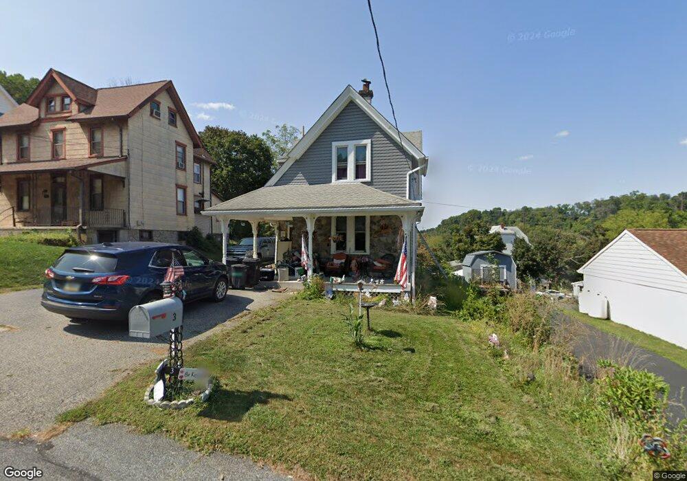
3 Drayton Rd Aston, PA 19014
Estimated Value: $314,656 - $419,000
3
Beds
1
Bath
1,744
Sq Ft
$201/Sq Ft
Est. Value
About This Home
This home is located at 3 Drayton Rd, Aston, PA 19014 and is currently estimated at $350,914, approximately $201 per square foot. 3 Drayton Rd is a home located in Delaware County with nearby schools including The Christian Academy.
Ownership History
Date
Name
Owned For
Owner Type
Purchase Details
Closed on
Jan 31, 2002
Sold by
Bradbury Robert David and Bradbury Patricia
Bought by
Slesicki Edward F and Slesicki Deborah M
Current Estimated Value
Home Financials for this Owner
Home Financials are based on the most recent Mortgage that was taken out on this home.
Original Mortgage
$94,300
Outstanding Balance
$39,185
Interest Rate
7.13%
Estimated Equity
$311,729
Create a Home Valuation Report for This Property
The Home Valuation Report is an in-depth analysis detailing your home's value as well as a comparison with similar homes in the area
Home Values in the Area
Average Home Value in this Area
Purchase History
| Date | Buyer | Sale Price | Title Company |
|---|---|---|---|
| Slesicki Edward F | $117,900 | Commonwealth Land Title Ins |
Source: Public Records
Mortgage History
| Date | Status | Borrower | Loan Amount |
|---|---|---|---|
| Open | Slesicki Edward F | $94,300 |
Source: Public Records
Tax History
| Year | Tax Paid | Tax Assessment Tax Assessment Total Assessment is a certain percentage of the fair market value that is determined by local assessors to be the total taxable value of land and additions on the property. | Land | Improvement |
|---|---|---|---|---|
| 2025 | $4,260 | $178,080 | $46,590 | $131,490 |
| 2024 | $4,260 | $164,170 | $46,590 | $117,580 |
| 2023 | $4,069 | $164,170 | $46,590 | $117,580 |
| 2022 | $3,924 | $164,170 | $46,590 | $117,580 |
| 2021 | $6,055 | $164,170 | $46,590 | $117,580 |
| 2020 | $4,040 | $98,930 | $30,120 | $68,810 |
| 2019 | $3,963 | $98,930 | $30,120 | $68,810 |
| 2018 | $3,795 | $98,930 | $0 | $0 |
| 2017 | $3,714 | $98,930 | $0 | $0 |
| 2016 | $543 | $98,930 | $0 | $0 |
| 2015 | $543 | $98,930 | $0 | $0 |
| 2014 | $543 | $98,930 | $0 | $0 |
Source: Public Records
Map
Nearby Homes
- 10 Convent Rd
- 346 Lenni Rd
- 6 Laurel Ln
- 239 Spring Valley Way
- 224 S Pennell Rd
- 360 Cashel Ct Unit 360
- 263 Lenni Rd
- 150 Nottingham Ct
- 206 Chestnut Ave
- 182 Nottingham Ct
- 270 Miley Rd Unit 270
- 419 Derry Dr Unit 419
- 746 Switchman Rd
- 36 Hoag Ln
- 3701 Mount Rd
- 39 Hoag Ln
- 189 Moria Place
- 16 War Admiral Ln
- 233 Ponds Edge Dr
- 630 Mount Alverno Rd
Your Personal Tour Guide
Ask me questions while you tour the home.