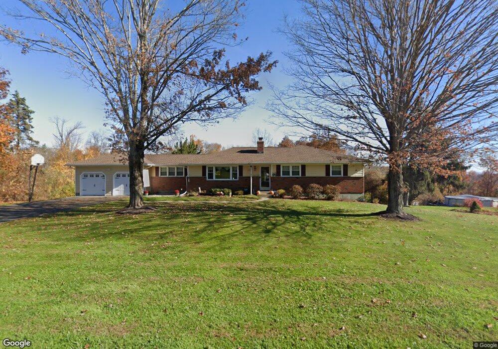
3 Drover Rd Brookfield, CT 06804
Estimated Value: $579,000 - $633,000
3
Beds
3
Baths
1,485
Sq Ft
$407/Sq Ft
Est. Value
About This Home
This home is located at 3 Drover Rd, Brookfield, CT 06804 and is currently estimated at $603,962, approximately $406 per square foot. 3 Drover Rd is a home located in Fairfield County with nearby schools including Whisconier Middle School, Brookfield High School, and Montessori Community School at Brookfield.
Ownership History
Date
Name
Owned For
Owner Type
Purchase Details
Closed on
Dec 11, 2003
Sold by
Cendant Mobility Fin
Bought by
Brandt James and Brandt Caterina
Current Estimated Value
Purchase Details
Closed on
Jul 23, 2001
Sold by
Maurizio Carlo
Bought by
Mccoy Gregory
Purchase Details
Closed on
May 15, 2000
Sold by
Husain Iqbal and Husain Asma
Bought by
Maurizio Carlo
Create a Home Valuation Report for This Property
The Home Valuation Report is an in-depth analysis detailing your home's value as well as a comparison with similar homes in the area
Home Values in the Area
Average Home Value in this Area
Purchase History
| Date | Buyer | Sale Price | Title Company |
|---|---|---|---|
| Brandt James | $380,000 | -- | |
| Cendant Mobility Fin | $380,000 | -- | |
| Brandt James | $380,000 | -- | |
| Mccoy Gregory | $302,500 | -- | |
| Mccoy Gregory | $302,500 | -- | |
| Maurizio Carlo | $255,000 | -- | |
| Maurizio Carlo | $255,000 | -- |
Source: Public Records
Mortgage History
| Date | Status | Borrower | Loan Amount |
|---|---|---|---|
| Open | Maurizio Carlo | $211,000 | |
| Closed | Maurizio Carlo | $50,000 |
Source: Public Records
Tax History
| Year | Tax Paid | Tax Assessment Tax Assessment Total Assessment is a certain percentage of the fair market value that is determined by local assessors to be the total taxable value of land and additions on the property. | Land | Improvement |
|---|---|---|---|---|
| 2025 | $8,277 | $286,110 | $93,370 | $192,740 |
| 2024 | $7,982 | $286,110 | $93,370 | $192,740 |
| 2023 | $7,685 | $286,110 | $93,370 | $192,740 |
| 2022 | $7,405 | $286,110 | $93,370 | $192,740 |
| 2021 | $6,754 | $224,400 | $103,750 | $120,650 |
| 2020 | $6,653 | $224,400 | $103,750 | $120,650 |
| 2019 | $6,539 | $224,400 | $103,750 | $120,650 |
| 2018 | $5,894 | $207,970 | $103,750 | $104,220 |
| 2017 | $5,676 | $207,970 | $103,750 | $104,220 |
| 2016 | $5,517 | $208,990 | $112,950 | $96,040 |
| 2015 | $5,371 | $208,990 | $112,950 | $96,040 |
| 2014 | $5,378 | $209,280 | $112,950 | $96,330 |
Source: Public Records
Map
Nearby Homes
- 27 Obtuse Rd S
- 23 Sunset Hill Rd
- 70 Obtuse Hill Rd
- 19 A Apache Dr
- 29 Ledgewood Dr
- 95 Obtuse Rd S
- 1 Dunsinane Rd
- 6 Comstock Trail Unit 6
- 99 Obtuse Hill Rd
- 28 Rollingwood Dr
- 23 Farrell Rd
- 1 Essex Ct Unit 1
- 4 Arlington Ct
- 16 Farrell Rd
- 11 Eden Ct Unit 11
- 16 Homestead Ln
- 7 Homestead Ln
- 12 Oak Crest Dr
- 9A Obtuse Rocks Rd
- 6 Hamlin Ct
Your Personal Tour Guide
Ask me questions while you tour the home.