3 Dune Cir Gloucester, MA 01930
West Gloucester NeighborhoodEstimated Value: $1,350,000 - $2,001,000
3
Beds
3
Baths
2,160
Sq Ft
$783/Sq Ft
Est. Value
About This Home
This home is located at 3 Dune Cir, Gloucester, MA 01930 and is currently estimated at $1,690,499, approximately $782 per square foot. 3 Dune Cir is a home located in Essex County with nearby schools including West Parish, Ralph B O'maley Middle School, and Gloucester High School.
Ownership History
We collect this data history from publicly available records. To have your information removed, we recommend requesting removal directly through your county’s website.
Date
Name
Owned For
Owner Type
Purchase Details
Closed on
Sep 26, 2013
Sold by
Bought by
Current Estimated Value
Home Financials for this Owner
Home Financials are based on the most recent Mortgage that was taken out on this home.
Original Mortgage
$215,000
Outstanding Balance
$157,613
Interest Rate
4.42%
Mortgage Type
New Conventional
Estimated Equity
$1,532,886
Purchase Details
Closed on
Aug 30, 2001
Sold by
Bought by
Home Financials for this Owner
Home Financials are based on the most recent Mortgage that was taken out on this home.
Original Mortgage
$775,000
Interest Rate
7.06%
Mortgage Type
Purchase Money Mortgage
Create a Home Valuation Report for This Property
The Home Valuation Report is an in-depth analysis detailing your home's value as well as a comparison with similar homes in the area
Home Values in the Area
Average Home Value in this Area
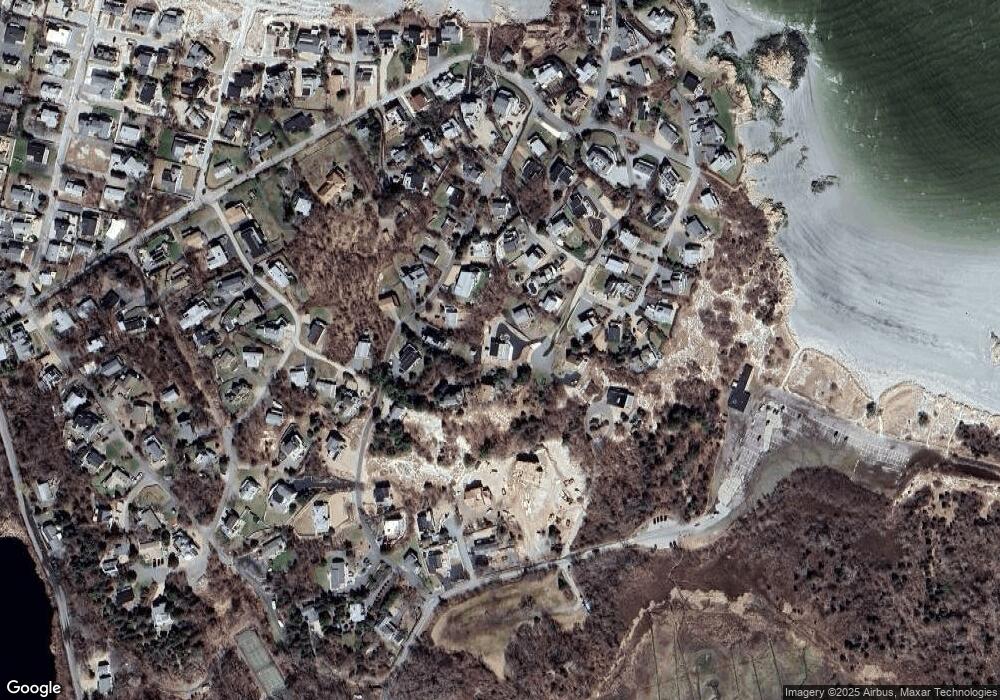
Map
Nearby Homes
- 220 Atlantic St
- 226 Atlantic St
- 178 Atlantic St
- 8 Schooner Ridge
- 77 Norwood Heights
- 65 Leonard St
- 672 Washington St
- 5R Brooks Rd
- 136 Leonard St
- 31 Dennison St
- 19 2 Penny Ln
- 498 Washington St
- 16 Tidal Cove Way
- 26 Linden Rd
- 10 Riverview Way Unit A
- 457 Washington St Unit 2
- 38 Revere St
- 6-8 Joppa Way
- 5 Ciaramitaro Ct
- 4 Ciaramitaro Ct
- 12 Waterman Rd
- 4 Dune Cir
- 2 Dune Cir
- 14 Waterman Rd
- 10 Waterman Rd
- 1 Dune Cir
- 14 Dune Ln
- 14 Dune Ln
- 18 Waterman Road Winter Unit 1
- 12 Dune Ln
- 18 Waterman Rd Unit 2
- 18 Waterman Rd Unit 2
- 18 Waterman Rd
- 18R Waterman Road Winter Unit 1
- 18 Waterman Rd Unit 1
- 16 Dune Ln
- 16 Wauketa Rd
- 8 Waterman Rd
- 16 Waterman Rd
- 18 Dune Ln
Your Personal Tour Guide
Ask me questions while you tour the home.