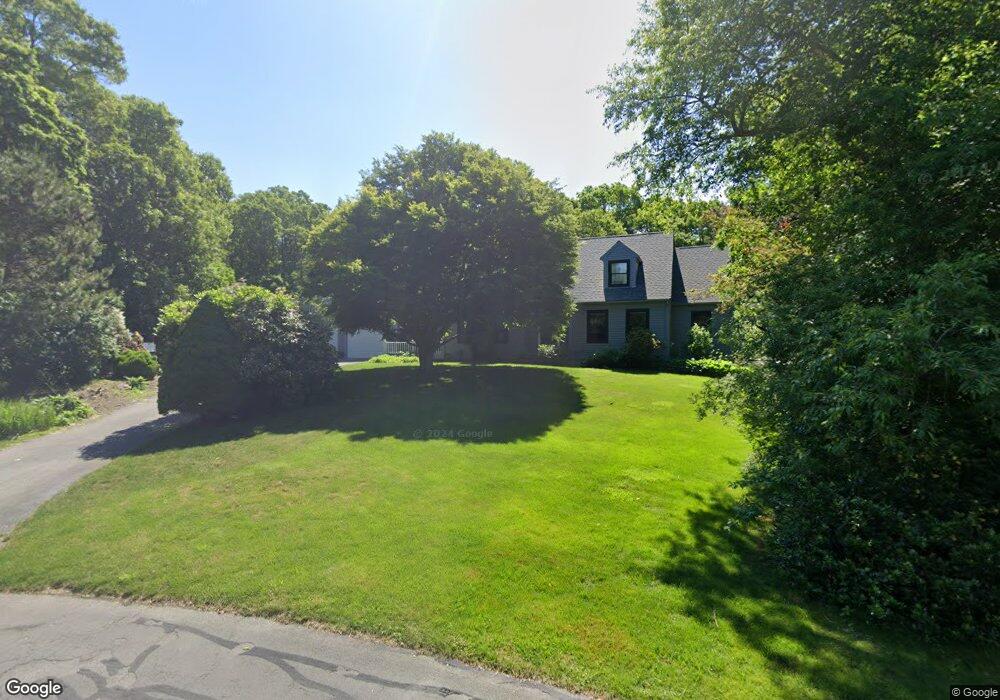
3 Firefly Ln Sandwich, MA 02563
Estimated Value: $1,103,095 - $1,366,000
4
Beds
3
Baths
2,701
Sq Ft
$446/Sq Ft
Est. Value
About This Home
This home is located at 3 Firefly Ln, Sandwich, MA 02563 and is currently estimated at $1,205,024, approximately $446 per square foot. 3 Firefly Ln is a home located in Barnstable County with nearby schools including Sandwich Middle High School and Montessori School of Sandwich.
Ownership History
Date
Name
Owned For
Owner Type
Purchase Details
Closed on
Sep 26, 2003
Sold by
Anderson Irene and Anderson Ronald
Bought by
Labonte Eric and Piquette Tracy L
Current Estimated Value
Home Financials for this Owner
Home Financials are based on the most recent Mortgage that was taken out on this home.
Original Mortgage
$270,000
Outstanding Balance
$126,689
Interest Rate
6.29%
Mortgage Type
Purchase Money Mortgage
Estimated Equity
$1,078,335
Create a Home Valuation Report for This Property
The Home Valuation Report is an in-depth analysis detailing your home's value as well as a comparison with similar homes in the area
Home Values in the Area
Average Home Value in this Area
Purchase History
| Date | Buyer | Sale Price | Title Company |
|---|---|---|---|
| Labonte Eric | $515,000 | -- |
Source: Public Records
Mortgage History
| Date | Status | Borrower | Loan Amount |
|---|---|---|---|
| Open | Labonte Eric | $270,000 |
Source: Public Records
Tax History Compared to Growth
Tax History
| Year | Tax Paid | Tax Assessment Tax Assessment Total Assessment is a certain percentage of the fair market value that is determined by local assessors to be the total taxable value of land and additions on the property. | Land | Improvement |
|---|---|---|---|---|
| 2025 | $10,456 | $989,200 | $225,100 | $764,100 |
| 2024 | $10,468 | $969,300 | $201,000 | $768,300 |
| 2023 | $10,142 | $881,900 | $182,700 | $699,200 |
| 2022 | $9,499 | $721,800 | $163,200 | $558,600 |
| 2021 | $8,933 | $648,700 | $156,900 | $491,800 |
| 2020 | $14,696 | $633,700 | $161,300 | $472,400 |
| 2019 | $8,529 | $595,600 | $158,300 | $437,300 |
| 2018 | $15,122 | $564,800 | $152,900 | $411,900 |
| 2017 | $7,880 | $527,800 | $148,000 | $379,800 |
| 2016 | $7,545 | $521,400 | $146,500 | $374,900 |
| 2015 | $7,429 | $501,300 | $131,900 | $369,400 |
Source: Public Records
Map
Nearby Homes
- 7 Widow Coombs Walk
- 111 Reflection Dr
- 46 Holly Ridge Dr
- 19 Oriole Ln
- 6 Santuit Pond Rd
- 10 Briar Patch Ln
- 84 Harlow Rd
- 131 Timberlane Dr
- 10 Ryder Cir
- 3 Glenwood Ln
- 11 Warwick Way
- 783 Santuit-Newtown Rd
- 436 Santuit-Newtown Rd
- 289 Santuit-Newtown Rd
- 5 Aviators Ln
- 68 Fox Hill Rd
- 34 White Moss Dr
- 22 Candlewood Ln
- 45 Fox Hill Rd
- 6 Southfield Ln
- 1 Firefly Ln
- 4 Southfield Ln
- 8 Southfield Ln
- 9 Sarah Lawrence Rd
- 3 Jabez Jones Ln
- 2 Firefly Ln
- 2 Southfield Ln
- 7 Southfield Ln
- 3 Southfield Ln
- 11 Sarah Lawrence Rd
- 6 Jabez Jones Ln
- 9 Southfield Ln
- 13 Sarah Lawrence Rd
- 9 Jabez Jones Ln
- 1 Southfield Ln
- 3 Lovell Place
- 8 Jabez Jones Ln
- 4 Jabez Jones Ln
- 4 Lovell Place