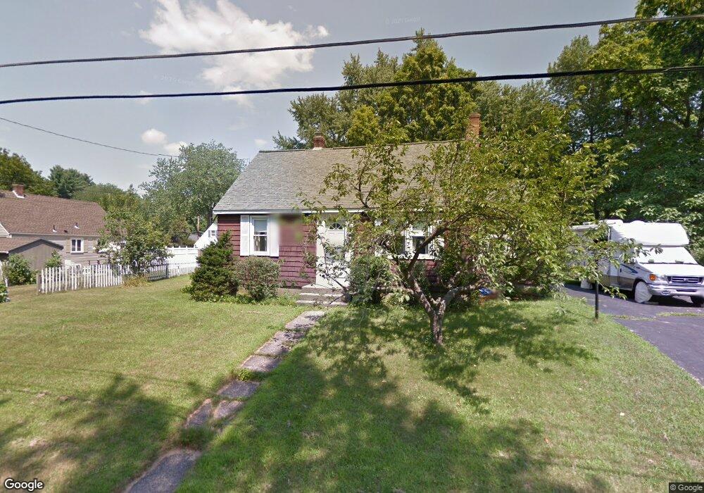
3 Forrest Rd Northborough, MA 01532
Estimated Value: $633,220 - $723,000
About This Home
This home is located at 3 Forrest Rd, Northborough, MA 01532 and is currently estimated at $662,305, approximately $398 per square foot. 3 Forrest Rd is a home located in Worcester County with nearby schools including Fannie E. Proctor Elementary School, Robert E. Melican Middle School, and Algonquin Regional High School.
Ownership History
We collect this data history from publicly available records. To have your information removed, we recommend requesting removal directly through your county’s website.
Purchase Details
Purchase Details
Home Financials for this Owner
Home Financials are based on the most recent Mortgage that was taken out on this home.Home Values in the Area
Average Home Value in this Area
Purchase History
We collect this data history from publicly available records. To have your information removed, we recommend requesting removal directly through your county’s website.
| Date | Buyer | Sale Price | Title Company |
|---|---|---|---|
| -- | -- | ||
| $60,000 | -- | ||
| $65,000 | -- |
Tax History
We collect this data history from publicly available records. To have your information removed, we recommend requesting removal directly through your county’s website.
| Year | Tax Paid | Tax Assessment Tax Assessment Total Assessment is a certain percentage of the fair market value that is determined by local assessors to be the total taxable value of land and additions on the property. | Land | Improvement |
|---|---|---|---|---|
| 2025 | $8,456 | $593,400 | $251,800 | $341,600 |
| 2024 | $7,713 | $540,100 | $208,800 | $331,300 |
| 2023 | $7,601 | $513,900 | $197,100 | $316,800 |
| 2022 | $7,241 | $439,100 | $187,600 | $251,500 |
| 2021 | $6,935 | $405,100 | $170,400 | $234,700 |
| 2020 | $6,895 | $399,700 | $170,400 | $229,300 |
| 2019 | $7,179 | $418,600 | $165,300 | $253,300 |
| 2018 | $6,827 | $392,600 | $162,100 | $230,500 |
| 2017 | $6,441 | $370,400 | $162,100 | $208,300 |
| 2016 | $5,905 | $343,900 | $158,800 | $185,100 |
| 2015 | $4,107 | $245,500 | $160,700 | $84,800 |
| 2014 | $3,973 | $239,500 | $160,700 | $78,800 |
Map
- 60 Northgate Rd
- 32 Meadow Rd
- 18 Mayflower Rd
- 25 Intervale Farm Ln
- 31 Jefferson Rd
- 19 Jefferson Rd
- 5 Hawthorne Cir
- 117 Madison Rd
- 137 South St
- 104 SW Cutoff
- 49 Hamilton Rd
- 15 Lanthorn Rd
- 293 Davis St
- 192 W Main St Unit 192
- 9 Cyrus Way
- 6 Thayer St
- 27 Westbrook Rd
- 44 Lincoln St
- 33 Tomahawk Dr
- 69 Oak Ave
- 48 Northgate Rd
- 52 Northgate Rd
- 44 Northgate Rd
- 31 Jethro Peters Ln
- 47 Northgate Rd
- 56 Northgate Rd
- 55 Northgate Rd
- 43 Northgate Rd
- 40 Northgate Rd
- 4 Forrest Rd
- 4 Meadow Rd
- 2 Mayflower Rd
- 61 Northgate Rd
- 23 Jethro Peters Ln
- 36 Northgate Rd
- 7 Forrest Rd
- 37 Northgate Rd
- 3 Chesterfield Rd
- 8 Forrest Rd
- 8 Meadow Rd
Ask me questions while you tour the home.