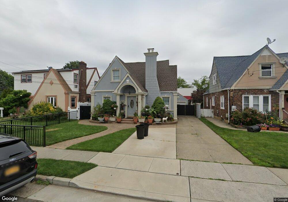
3 Foster Place Hempstead, NY 11550
Estimated Value: $673,000 - $698,181
Studio
3
Baths
2,005
Sq Ft
$342/Sq Ft
Est. Value
About This Home
This home is located at 3 Foster Place, Hempstead, NY 11550 and is currently estimated at $685,591, approximately $341 per square foot. 3 Foster Place is a home located in Nassau County with nearby schools including Northern Parkway Elementary School, Lawrence Road Middle School, and Uniondale High School.
Ownership History
Date
Name
Owned For
Owner Type
Purchase Details
Closed on
Jun 22, 2013
Sold by
Moreno Israel and Bonilla Jose
Bought by
Moreno Israel and Moreno Sonia
Current Estimated Value
Home Financials for this Owner
Home Financials are based on the most recent Mortgage that was taken out on this home.
Original Mortgage
$8,260
Outstanding Balance
$1,811
Interest Rate
3.06%
Estimated Equity
$683,780
Purchase Details
Closed on
Dec 27, 2001
Sold by
Valencia George
Bought by
Moreno Israel
Create a Home Valuation Report for This Property
The Home Valuation Report is an in-depth analysis detailing your home's value as well as a comparison with similar homes in the area
Home Values in the Area
Average Home Value in this Area
Purchase History
| Date | Buyer | Sale Price | Title Company |
|---|---|---|---|
| Moreno Israel | -- | -- | |
| Moreno Israel | $236,900 | John Tesatiuti |
Source: Public Records
Mortgage History
| Date | Status | Borrower | Loan Amount |
|---|---|---|---|
| Open | Moreno Israel | $8,260 |
Source: Public Records
Tax History
| Year | Tax Paid | Tax Assessment Tax Assessment Total Assessment is a certain percentage of the fair market value that is determined by local assessors to be the total taxable value of land and additions on the property. | Land | Improvement |
|---|---|---|---|---|
| 2025 | $7,271 | $460 | $127 | $333 |
| 2024 | $1,222 | $460 | $127 | $333 |
Source: Public Records
Map
Nearby Homes
- 355 Jerusalem Ave
- 21 Dikeman St
- 63 Elmwood Ave
- 183 Perry St
- 203 Rutland Rd
- 15 Clyde Ave
- 178 Rutland Rd
- 142 Henry St
- 43 Macdonald St
- 3 Tompkins Place
- 244 Brown Ave
- 101 Baldwin Rd
- 678 Front St Unit E
- 47 Gladys Ave
- 51 Phoenix St
- 41 Perry St
- 676 Front St Unit F
- 602 Leonard Ave
- 39 Acacia Ave
- 12 Taylor Place
- 5 Foster Place
- 1 Foster Place
- 7 Foster Place
- 9 Foster Place
- 69 Sunnyside Ave
- 4 Foster Place
- 256 Jerusalem Ave
- 68 Sunnyside Ave
- 64 Sunnyside Ave
- 70 Sunnyside Ave
- 11 Foster Place
- 66 Sunnyside Ave
- 6 Foster Place
- 62 Sunnyside Ave
- 60 Sunnyside Ave
- 8 Foster Place
- 80 Sunnyside (2nd) Ave
- 80 Sunnyside (1st) Ave
- 80 Sunnyside Ave
- 80 Sunnyside Ave Unit 1st Fl
Your Personal Tour Guide
Ask me questions while you tour the home.