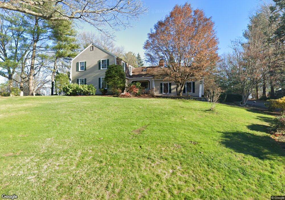
3 Fox Hunt Ln Winchester, MA 01890
West Side NeighborhoodEstimated Value: $1,958,000 - $2,247,000
4
Beds
3
Baths
4,276
Sq Ft
$488/Sq Ft
Est. Value
About This Home
This home is located at 3 Fox Hunt Ln, Winchester, MA 01890 and is currently estimated at $2,087,420, approximately $488 per square foot. 3 Fox Hunt Ln is a home located in Middlesex County with nearby schools including Vinson-Owen Elementary School, McCall Middle School, and Winchester High School.
Ownership History
Date
Name
Owned For
Owner Type
Purchase Details
Closed on
Jul 13, 2004
Sold by
Fox Hunt Lane Rt
Bought by
Meehan Beatrice F and Meehan Michael T
Current Estimated Value
Home Financials for this Owner
Home Financials are based on the most recent Mortgage that was taken out on this home.
Original Mortgage
$1,060,000
Outstanding Balance
$533,021
Interest Rate
6.32%
Mortgage Type
Purchase Money Mortgage
Estimated Equity
$1,554,399
Purchase Details
Closed on
Jul 16, 1996
Sold by
Taurasi James H and Taurasi Helen L
Bought by
Fox Hunt Ln Rt
Create a Home Valuation Report for This Property
The Home Valuation Report is an in-depth analysis detailing your home's value as well as a comparison with similar homes in the area
Home Values in the Area
Average Home Value in this Area
Purchase History
| Date | Buyer | Sale Price | Title Company |
|---|---|---|---|
| Meehan Beatrice F | $1,180,000 | -- | |
| Fox Hunt Ln Rt | $475,000 | -- |
Source: Public Records
Mortgage History
| Date | Status | Borrower | Loan Amount |
|---|---|---|---|
| Open | Meehan Beatrice F | $1,060,000 | |
| Previous Owner | Fox Hunt Ln Rt | $273,000 |
Source: Public Records
Tax History
| Year | Tax Paid | Tax Assessment Tax Assessment Total Assessment is a certain percentage of the fair market value that is determined by local assessors to be the total taxable value of land and additions on the property. | Land | Improvement |
|---|---|---|---|---|
| 2025 | $209 | $1,885,300 | $1,042,000 | $843,300 |
| 2024 | $20,206 | $1,783,400 | $1,002,000 | $781,400 |
| 2023 | $19,444 | $1,647,800 | $882,000 | $765,800 |
| 2022 | $18,225 | $1,456,800 | $761,800 | $695,000 |
| 2021 | $17,408 | $1,356,800 | $661,800 | $695,000 |
| 2020 | $16,811 | $1,356,800 | $661,800 | $695,000 |
| 2019 | $5,104 | $1,356,800 | $661,800 | $695,000 |
| 2018 | $9,684 | $1,316,000 | $639,800 | $676,200 |
| 2017 | $15,074 | $1,227,500 | $579,800 | $647,700 |
| 2016 | $14,114 | $1,208,400 | $579,800 | $628,600 |
| 2015 | $13,747 | $1,132,400 | $526,800 | $605,600 |
| 2014 | $13,744 | $1,085,600 | $486,800 | $598,800 |
Source: Public Records
Map
Nearby Homes
- 7 Trinity Rd
- 10 Trinity Rd
- 10 Viking Rd
- 37 Mayflower Rd
- 15 Mayflower Rd
- 12 Elwern Rd
- 66 Hutchinson Rd
- 33 Dickson Ave
- 92 Overlook Rd
- 19 Cox Rd
- 114 Johnson Rd
- 455-457 Summer St
- 455 Summer St Unit 455
- 0 Reed St
- 25 Myopia Rd
- 54 Johnson Rd
- 58 Alpine St
- 30 Whipple Rd
- 11 Evergreen Ln Unit 11
- 9 Evergreen Ln Unit 11
- 5 Fox Hunt Ln
- 4 Fox Hunt Ln
- 2 Fox Hunt Ln
- 7 Fox Hunt Ln
- 38 Hutchinson Rd
- 6 Fox Hunt Ln
- 9 Fox Hunt Ln
- 8 Fox Hunt Ln
- 11 Viking Rd
- 29 Hutchinson Rd
- 20 Hutchinson Rd
- 40 Hutchinson Rd
- 9 Viking Rd
- 25 Hutchinson Rd
- 41 Hutchinson Rd
- 14 Viking Rd
- 16 Hutchinson Rd
- 42 Hutchinson Rd
- 23 Hutchinson Rd
- 5 Trinity Rd
Your Personal Tour Guide
Ask me questions while you tour the home.