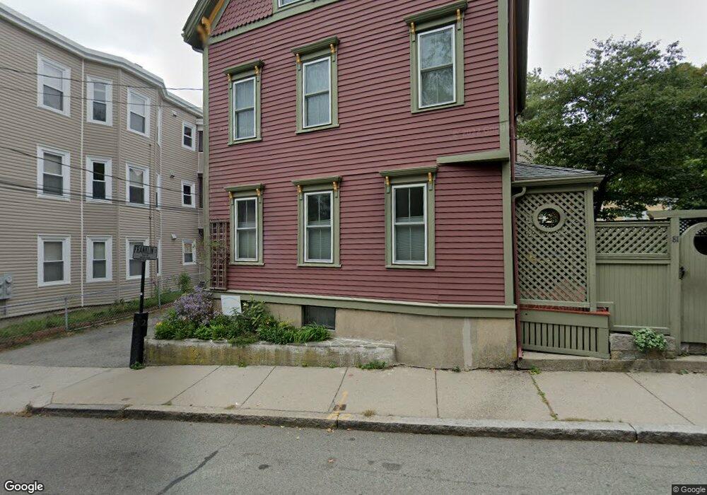
3 Franklin Ct Brookline, MA 02445
Brookline Village NeighborhoodEstimated Value: $928,939 - $1,320,000
3
Beds
1
Bath
1,080
Sq Ft
$993/Sq Ft
Est. Value
About This Home
This home is located at 3 Franklin Ct, Brookline, MA 02445 and is currently estimated at $1,072,735, approximately $993 per square foot. 3 Franklin Ct is a home located in Norfolk County with nearby schools including William H. Lincoln School, Brookline High School, and Maimonides School.
Ownership History
Date
Name
Owned For
Owner Type
Purchase Details
Closed on
Nov 5, 2022
Sold by
Clinton Helen G
Bought by
Helen G Cunton Lt
Current Estimated Value
Create a Home Valuation Report for This Property
The Home Valuation Report is an in-depth analysis detailing your home's value as well as a comparison with similar homes in the area
Home Values in the Area
Average Home Value in this Area
Purchase History
We collect this data history from publicly available records. To have your information removed, we recommend requesting removal directly through your county’s website.
| Date | Buyer | Sale Price | Title Company |
|---|---|---|---|
| Helen G Cunton Lt | -- | None Available |
Source: Public Records
Tax History
| Year | Tax Paid | Tax Assessment Tax Assessment Total Assessment is a certain percentage of the fair market value that is determined by local assessors to be the total taxable value of land and additions on the property. | Land | Improvement |
|---|---|---|---|---|
| 2025 | $8,417 | $852,800 | $625,300 | $227,500 |
| 2024 | $7,997 | $818,500 | $601,200 | $217,300 |
| 2023 | $7,488 | $751,100 | $524,000 | $227,100 |
| 2022 | $7,289 | $715,300 | $499,000 | $216,300 |
| 2021 | $6,740 | $687,800 | $479,800 | $208,000 |
| 2020 | $6,052 | $640,400 | $436,200 | $204,200 |
| 2019 | $5,715 | $609,900 | $415,400 | $194,500 |
| 2018 | $5,103 | $539,400 | $355,100 | $184,300 |
| 2017 | $5,028 | $508,900 | $335,000 | $173,900 |
| 2016 | $4,956 | $475,600 | $313,100 | $162,500 |
| 2015 | $4,747 | $444,500 | $292,600 | $151,900 |
| 2014 | $4,775 | $419,200 | $266,000 | $153,200 |
Source: Public Records
Map
Nearby Homes
- 293 Cypress St
- 166 Chestnut St Unit 1
- 68 Chestnut St Unit 2
- 22 Chestnut Place Unit 210
- 18 Chestnut Place
- 241 Perkins St Unit D204
- 241 Perkins St Unit G102
- 1 Chestnut Place
- 57-59 Highland Rd Unit 57
- 255 Walnut St Unit B
- 65 Glen Rd Unit H1
- 60 Glen Rd Unit 306
- 60 Glen Rd Unit 101
- 16 Kennard Rd
- 8 Leverett St Unit 4
- 428 Boylston St
- 111 Perkins St Unit 220
- 111 Perkins St Unit 194
- 111 Perkins St Unit 144
- 111 Perkins St Unit 210
- 275 Cypress St Unit 404
- 275 Cypress St Unit 403
- 275 Cypress St Unit 402
- 275 Cypress St Unit 401
- 275 Cypress St Unit 305
- 275 Cypress St Unit 304
- 275 Cypress St Unit 303
- 275 Cypress St Unit 302
- 275 Cypress St Unit 301
- 275 Cypress St Unit 205
- 275 Cypress St Unit 204
- 275 Cypress St Unit 203
- 275 Cypress St Unit 202
- 275 Cypress St Unit 201
- 275 Cypress St Unit 105
- 275 Cypress St Unit 103
- 275 Cypress St Unit 101
- 275 Cypress St Unit 101,275
- 275 Cypress St Unit 302,275
- 275 Cypress St Unit 31
Your Personal Tour Guide
Ask me questions while you tour the home.