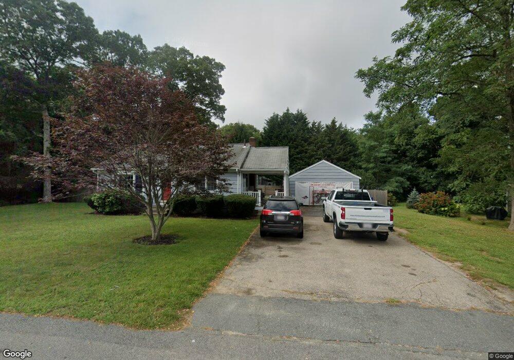
3 Freeman St Bourne, MA 2532
Estimated Value: $471,919 - $511,000
2
Beds
2
Baths
816
Sq Ft
$595/Sq Ft
Est. Value
About This Home
This home is located at 3 Freeman St, Bourne, MA 2532 and is currently estimated at $485,480, approximately $594 per square foot. 3 Freeman St is a home located in Barnstable County with nearby schools including Bourne High School, St Margaret Regional School, and Cadence Academy Preschool - Bourne.
Ownership History
Date
Name
Owned For
Owner Type
Purchase Details
Closed on
Aug 23, 2018
Sold by
Shaughnessy Charles S
Bought by
Lee-Shaughnessy Kristen and Hale-Collins Robert
Current Estimated Value
Home Financials for this Owner
Home Financials are based on the most recent Mortgage that was taken out on this home.
Original Mortgage
$288,888
Outstanding Balance
$250,365
Interest Rate
4.5%
Mortgage Type
New Conventional
Estimated Equity
$235,115
Purchase Details
Closed on
Jun 27, 2008
Sold by
Beinor Albert F and Tartaglione Sandra E
Bought by
Shaughnessy Charles S
Home Financials for this Owner
Home Financials are based on the most recent Mortgage that was taken out on this home.
Original Mortgage
$200,000
Interest Rate
6.07%
Mortgage Type
Purchase Money Mortgage
Create a Home Valuation Report for This Property
The Home Valuation Report is an in-depth analysis detailing your home's value as well as a comparison with similar homes in the area
Purchase History
| Date | Buyer | Sale Price | Title Company |
|---|---|---|---|
| Lee-Shaughnessy Kristen | $286,000 | -- | |
| Lee-Shaughnessy Kristen | $286,000 | -- | |
| Shaughnessy Charles S | $266,000 | -- | |
| Shaughnessy Charles S | $266,000 | -- |
Source: Public Records
Mortgage History
| Date | Status | Borrower | Loan Amount |
|---|---|---|---|
| Open | Lee-Shaughnessy Kristen | $288,888 | |
| Closed | Lee-Shaughnessy Kristen | $288,888 | |
| Previous Owner | Shaughnessy Charles S | $203,000 | |
| Previous Owner | Shaughnessy Charles S | $200,000 |
Source: Public Records
Tax History
| Year | Tax Paid | Tax Assessment Tax Assessment Total Assessment is a certain percentage of the fair market value that is determined by local assessors to be the total taxable value of land and additions on the property. | Land | Improvement |
|---|---|---|---|---|
| 2025 | $3,293 | $421,600 | $225,100 | $196,500 |
| 2024 | $3,221 | $401,600 | $214,400 | $187,200 |
| 2023 | $3,138 | $356,200 | $189,700 | $166,500 |
| 2022 | $3,043 | $301,600 | $167,900 | $133,700 |
| 2021 | $2,967 | $275,500 | $152,800 | $122,700 |
| 2020 | $2,878 | $268,000 | $151,400 | $116,600 |
| 2019 | $2,769 | $263,500 | $151,400 | $112,100 |
| 2018 | $2,602 | $246,900 | $144,200 | $102,700 |
| 2017 | $2,518 | $244,500 | $142,800 | $101,700 |
| 2016 | $2,293 | $225,700 | $142,800 | $82,900 |
Source: Public Records
Map
Nearby Homes
- 60 Sandwich Rd
- 10 Sandy Ln
- 3 Honora Ln Unit 3
- 6 Honora Ct
- 38 Old Bridge Rd
- 44 Cotuit Rd
- 304 Main St
- 5 Zoli Ln
- 24 Ships View Terrace
- 58 Maple St
- 5 Sea Knoll Ct
- 48 Maple St
- 46 Holt Rd Unit B
- 46 Holt Rd
- 13 Laurel Hill Ct
- 1 Hollyhock Knoll Ct Unit 1
- 4 Hollyhock Knoll Ct Unit 4
- 4 Hollyhock Knoll Ct Unit 4
- 29 Weather Deck Rd
- 23 Alderberry Rd
Your Personal Tour Guide
Ask me questions while you tour the home.