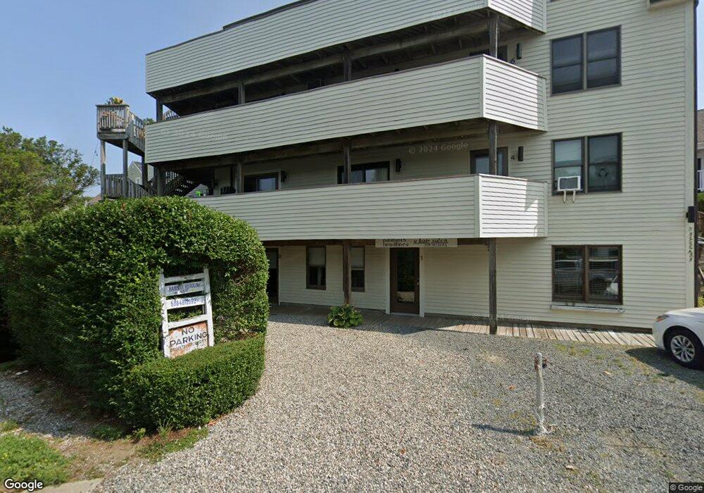
3 Freeman St Unit 6 Provincetown, MA 02657
Estimated Value: $848,000 - $1,096,000
2
Beds
1
Bath
785
Sq Ft
$1,246/Sq Ft
Est. Value
About This Home
This home is located at 3 Freeman St Unit 6, Provincetown, MA 02657 and is currently estimated at $977,916, approximately $1,245 per square foot. 3 Freeman St Unit 6 is a home located in Barnstable County with nearby schools including Provincetown Schools.
Ownership History
Date
Name
Owned For
Owner Type
Purchase Details
Closed on
Mar 26, 2025
Sold by
Janard Mario A
Bought by
Mario Janard Lt and Janard
Current Estimated Value
Purchase Details
Closed on
Nov 7, 2000
Sold by
Carter Nancy
Bought by
Janard Mario A
Purchase Details
Closed on
Dec 2, 1996
Sold by
1031 Commercial St T and Femino Leonard F
Bought by
Carter Nancy
Home Financials for this Owner
Home Financials are based on the most recent Mortgage that was taken out on this home.
Original Mortgage
$84,000
Interest Rate
7.82%
Mortgage Type
Purchase Money Mortgage
Create a Home Valuation Report for This Property
The Home Valuation Report is an in-depth analysis detailing your home's value as well as a comparison with similar homes in the area
Home Values in the Area
Average Home Value in this Area
Purchase History
| Date | Buyer | Sale Price | Title Company |
|---|---|---|---|
| Mario Janard Lt | -- | None Available | |
| Mario Janard Lt | -- | None Available | |
| Janard Mario A | $168,750 | -- | |
| Janard Mario A | $168,750 | -- | |
| Carter Nancy | $105,000 | -- | |
| 1031 Commercial St T | $105,000 | -- | |
| Carter Nancy | $105,000 | -- |
Source: Public Records
Mortgage History
| Date | Status | Borrower | Loan Amount |
|---|---|---|---|
| Previous Owner | Carter Nancy | $100,000 | |
| Previous Owner | Carter Nancy | $84,000 |
Source: Public Records
Tax History Compared to Growth
Tax History
| Year | Tax Paid | Tax Assessment Tax Assessment Total Assessment is a certain percentage of the fair market value that is determined by local assessors to be the total taxable value of land and additions on the property. | Land | Improvement |
|---|---|---|---|---|
| 2025 | $3,833 | $684,500 | $0 | $684,500 |
| 2024 | $3,643 | $652,800 | $0 | $652,800 |
| 2023 | $3,270 | $546,900 | $0 | $546,900 |
| 2022 | $3,122 | $468,800 | $0 | $468,800 |
| 2021 | $3,233 | $456,700 | $0 | $456,700 |
| 2020 | $2,935 | $443,300 | $0 | $443,300 |
| 2019 | $2,952 | $418,200 | $0 | $418,200 |
| 2018 | $2,681 | $359,800 | $0 | $359,800 |
| 2017 | $2,668 | $346,000 | $0 | $346,000 |
| 2016 | $2,252 | $288,700 | $0 | $288,700 |
| 2015 | $2,049 | $277,700 | $0 | $277,700 |
Source: Public Records
Map
Nearby Homes
- 342B Commercial St
- 318 Commercial St Unit 1
- 143 Bradford St Unit A
- 351A Commercial St Unit A1
- 4 Center St
- 353 Commercial St Unit 18
- 357 Commercial St Unit 3
- 15 Center St
- 361b Commercial St Unit U3
- 294 Commercial St
- 371 Commercial St Unit 6
- 290 Commercial St Unit 2B
- 290 Commercial St Unit 2A
- 116 Bradford St Unit 1
- 381 Commercial St Unit U10
- 4 Railroad Ave Unit 2
- 269-271 Commercial St
- 271 Commercial St
- 3 Freeman St Unit 9
- 3 Freeman St Unit 8
- 3 Freeman St Unit 7
- 3 Freeman St Unit 5
- 3 Freeman St Unit 4
- 3 Freeman St Unit 3
- 3 Freeman St
- 3 Freeman St Unit 1
- 7 Freeman St
- 336 Commercial St Unit 5
- 336 Commercial St Unit 4
- 336 Commercial St Unit 1
- 334 Commercial St Unit U3
- 334 Commercial St
- 5 Freeman St
- 330 Commercial St
- 340-A Commercial St
- 338 Commercial St
- 338 Commercial St Unit 1
- 338 Commercial St Unit 2