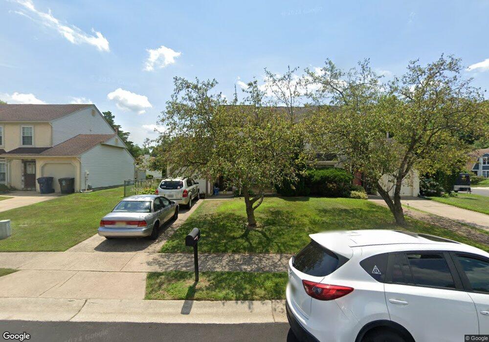
3 Fulmar Dr Voorhees, NJ 08043
Estimated Value: $357,291 - $377,000
3
Beds
2
Baths
1,536
Sq Ft
$237/Sq Ft
Est. Value
About This Home
This home is located at 3 Fulmar Dr, Voorhees, NJ 08043 and is currently estimated at $363,823, approximately $236 per square foot. 3 Fulmar Dr is a home located in Camden County with nearby schools including Kresson School, Voorhees Middle School, and Eastern Regional High School.
Ownership History
Date
Name
Owned For
Owner Type
Purchase Details
Closed on
Sep 21, 2001
Sold by
Sanders Jeffrey
Bought by
Nayote Michael J
Current Estimated Value
Home Financials for this Owner
Home Financials are based on the most recent Mortgage that was taken out on this home.
Original Mortgage
$123,018
Interest Rate
6.7%
Mortgage Type
FHA
Purchase Details
Closed on
Feb 24, 1995
Sold by
Nemeroff Randy
Bought by
Sanders Jeffery and Sanders Amy
Home Financials for this Owner
Home Financials are based on the most recent Mortgage that was taken out on this home.
Original Mortgage
$49,000
Interest Rate
8.96%
Create a Home Valuation Report for This Property
The Home Valuation Report is an in-depth analysis detailing your home's value as well as a comparison with similar homes in the area
Home Values in the Area
Average Home Value in this Area
Purchase History
| Date | Buyer | Sale Price | Title Company |
|---|---|---|---|
| Nayote Michael J | $124,000 | -- | |
| Sanders Jeffery | $110,000 | -- |
Source: Public Records
Mortgage History
| Date | Status | Borrower | Loan Amount |
|---|---|---|---|
| Previous Owner | Nayote Michael J | $123,018 | |
| Previous Owner | Sanders Jeffery | $49,000 |
Source: Public Records
Tax History Compared to Growth
Tax History
| Year | Tax Paid | Tax Assessment Tax Assessment Total Assessment is a certain percentage of the fair market value that is determined by local assessors to be the total taxable value of land and additions on the property. | Land | Improvement |
|---|---|---|---|---|
| 2025 | $6,609 | $257,800 | $67,200 | $190,600 |
| 2024 | $6,491 | $153,700 | $64,800 | $88,900 |
| 2023 | $6,491 | $153,700 | $64,800 | $88,900 |
| 2022 | $6,360 | $153,700 | $64,800 | $88,900 |
| 2021 | $6,320 | $153,700 | $64,800 | $88,900 |
| 2020 | $6,286 | $153,700 | $64,800 | $88,900 |
| 2019 | $6,065 | $153,700 | $64,800 | $88,900 |
| 2018 | $6,025 | $153,700 | $64,800 | $88,900 |
| 2017 | $5,922 | $153,700 | $64,800 | $88,900 |
| 2016 | $5,650 | $153,700 | $64,800 | $88,900 |
| 2015 | $5,761 | $153,700 | $64,800 | $88,900 |
| 2014 | $5,688 | $153,700 | $64,800 | $88,900 |
Source: Public Records
Map
Nearby Homes
- 18 Goshawk Ct
- 625 Route 73 S
- 18 Sandpiper Dr
- 9 Irongate Dr
- 44 Acadia Dr
- 732 E Evesham Rd
- 1525 Squire Ln
- 516 Cormorant Dr
- 35 Euston Rd W
- 49 Brambling Ln
- 136 Peregrine Dr
- 403 Hazelwood Ln
- 405 Hazelwood Ln
- 24 Brookstone Dr
- 209 Henfield Ave
- 1 Sunnyside Ct
- 2 Split Rail Ln
- 1 Pawtucket Dr
- 11 Split Rail Ln
- 6073 Main St