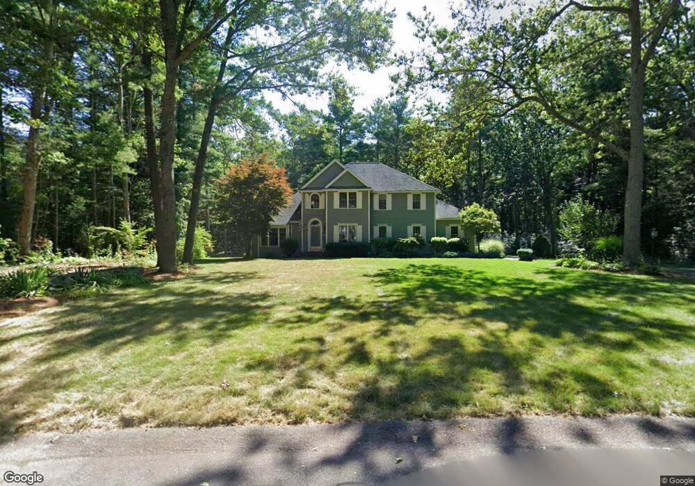
3 Gateway Ln Norton, MA 02766
Estimated Value: $834,546 - $1,057,000
4
Beds
3
Baths
3,002
Sq Ft
$315/Sq Ft
Est. Value
About This Home
This home is located at 3 Gateway Ln, Norton, MA 02766 and is currently estimated at $945,137, approximately $314 per square foot. 3 Gateway Ln is a home located in Bristol County with nearby schools including J.C. Solmonese Elementary School, Henri A. Yelle Elementary School, and Norton Middle School.
Ownership History
Date
Name
Owned For
Owner Type
Purchase Details
Closed on
Aug 17, 2022
Sold by
Shannon James and Shannon Jacqueline
Bought by
Shannon Ft
Current Estimated Value
Purchase Details
Closed on
Jul 26, 2000
Sold by
Stevenson Harry C and Stevenson Tina L
Bought by
Shannon James and Shannon Jacqueline
Home Financials for this Owner
Home Financials are based on the most recent Mortgage that was taken out on this home.
Original Mortgage
$347,700
Interest Rate
8.18%
Mortgage Type
Purchase Money Mortgage
Purchase Details
Closed on
Jun 2, 1993
Sold by
Sher Corp Ltd
Bought by
Stevenson Harry C and Brown Tina L S
Create a Home Valuation Report for This Property
The Home Valuation Report is an in-depth analysis detailing your home's value as well as a comparison with similar homes in the area
Home Values in the Area
Average Home Value in this Area
Purchase History
| Date | Buyer | Sale Price | Title Company |
|---|---|---|---|
| Shannon Ft | -- | None Available | |
| Shannon James | $366,000 | -- | |
| Stevenson Harry C | $265,000 | -- |
Source: Public Records
Mortgage History
| Date | Status | Borrower | Loan Amount |
|---|---|---|---|
| Previous Owner | Stevenson Harry C | $347,700 | |
| Previous Owner | Stevenson Harry C | $276,000 | |
| Previous Owner | Stevenson Harry C | $227,150 |
Source: Public Records
Tax History
| Year | Tax Paid | Tax Assessment Tax Assessment Total Assessment is a certain percentage of the fair market value that is determined by local assessors to be the total taxable value of land and additions on the property. | Land | Improvement |
|---|---|---|---|---|
| 2025 | $102 | $788,400 | $227,000 | $561,400 |
| 2024 | $9,245 | $713,900 | $216,100 | $497,800 |
| 2023 | $8,834 | $680,100 | $203,900 | $476,200 |
| 2022 | $8,512 | $596,900 | $185,300 | $411,600 |
| 2021 | $8,035 | $538,200 | $176,500 | $361,700 |
| 2020 | $7,803 | $527,200 | $171,300 | $355,900 |
| 2019 | $7,559 | $507,300 | $164,800 | $342,500 |
| 2018 | $7,428 | $490,000 | $164,800 | $325,200 |
| 2017 | $7,476 | $486,400 | $164,800 | $321,600 |
| 2016 | $7,146 | $457,800 | $164,800 | $293,000 |
| 2015 | $6,944 | $451,200 | $161,600 | $289,600 |
| 2014 | $6,466 | $420,700 | $141,100 | $279,600 |
Source: Public Records
Map
Nearby Homes
- 196 Taunton Ave Unit B
- 165 Taunton Ave
- 152 Pine St Unit 23
- 11 Lloyd Cir Unit 39
- 13 Lloyd Cir Unit 34
- 90 Pine St
- Lot 3B Hill St
- 20 Lloyd Cir Unit 32
- 14 Lloyd Cir Unit 29
- 34 Barrows St
- 81 Alcott Cir Unit T5
- 925 Crane Ave S Unit G3
- 135 S Washington St
- 132 S Washington St Unit 132
- 34R Pine St
- 17 Lloyd Cir Unit 36
- 24 Lloyd Cir Unit 34
- 3 Gilberts Way
- 26 Barrows Ct
- 125 John Scott Blvd
- 58 Gateway Ln
- 1 Gateway Ln
- 2 Gateway Ln
- 5 Gateway Ln
- 226 Taunton Ave
- 4 Gateway Ln
- 228 Taunton Ave
- 222 Taunton Ave
- 232 Taunton Ave
- 227 Taunton Ave
- 242 Taunton Ave
- 221 Taunton Ave
- 234 Taunton Ave
- 218 Taunton Ave
- 234 Old Taunton Ave
- 229 Taunton Ave
- 217 Taunton Ave
- 231 Old Taunton Ave
- 231 Taunton Ave
- 213 Old Taunton Ave