3 Gerrys Landing Rd Cambridge, MA 02138
West Cambridge NeighborhoodEstimated Value: $6,598,000 - $10,872,077
10
Beds
10
Baths
9,967
Sq Ft
$876/Sq Ft
Est. Value
About This Home
This home is located at 3 Gerrys Landing Rd, Cambridge, MA 02138 and is currently estimated at $8,735,039, approximately $876 per square foot. 3 Gerrys Landing Rd is a home located in Middlesex County with nearby schools including Shady Hill School, Buckingham Browne & Nichols School, and St Peter School.
Ownership History
Date
Name
Owned For
Owner Type
Purchase Details
Closed on
Jul 26, 2021
Sold by
Forbes Ariadne H
Bought by
Ariadne Forbes Irt
Current Estimated Value
Create a Home Valuation Report for This Property
The Home Valuation Report is an in-depth analysis detailing your home's value as well as a comparison with similar homes in the area
Home Values in the Area
Average Home Value in this Area
Purchase History
| Date | Buyer | Sale Price | Title Company |
|---|---|---|---|
| Ariadne Forbes Irt | -- | None Available |
Source: Public Records
Tax History Compared to Growth
Tax History
| Year | Tax Paid | Tax Assessment Tax Assessment Total Assessment is a certain percentage of the fair market value that is determined by local assessors to be the total taxable value of land and additions on the property. | Land | Improvement |
|---|---|---|---|---|
| 2025 | $82,154 | $12,937,600 | $6,934,200 | $6,003,400 |
| 2024 | $57,346 | $9,686,900 | $6,860,100 | $2,826,800 |
| 2023 | $39,057 | $6,665,000 | $5,174,200 | $1,490,800 |
| 2022 | $36,230 | $6,120,000 | $4,802,000 | $1,318,000 |
| 2021 | $34,988 | $5,980,800 | $4,662,900 | $1,317,900 |
| 2020 | $33,780 | $5,874,700 | $4,627,500 | $1,247,200 |
| 2019 | $33,737 | $5,679,700 | $4,541,200 | $1,138,500 |
| 2018 | $31,187 | $5,152,900 | $4,057,600 | $1,095,300 |
| 2017 | $33,457 | $5,155,200 | $4,057,600 | $1,097,600 |
| 2016 | $33,031 | $4,725,400 | $3,626,100 | $1,099,300 |
| 2015 | $32,497 | $4,155,600 | $3,177,300 | $978,300 |
| 2014 | $32,679 | $3,899,700 | $2,935,200 | $964,500 |
Source: Public Records
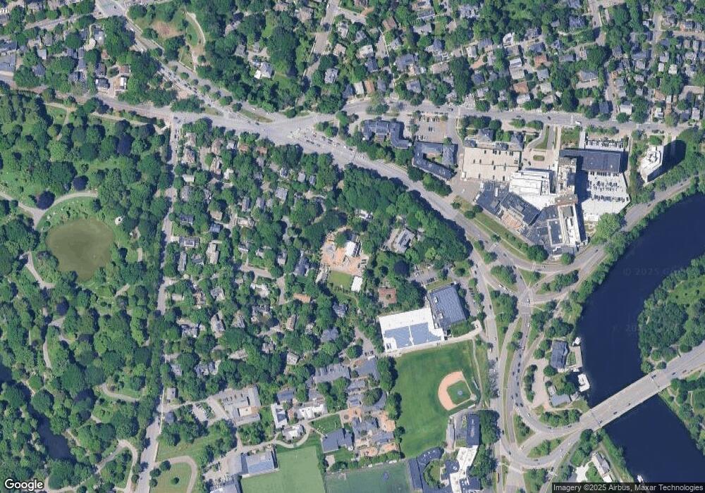
Map
Nearby Homes
- 1010 Memorial Dr Unit 6G
- 172 Brattle St
- 158 Brattle St
- 20 Maynard Place
- 48 Hubbard Park Rd
- 43 Larch Rd
- 15 Hubbard Park Rd
- 153 Brattle St
- 134 Lexington Ave Unit 2
- 382 Huron Ave
- 234 Huron Ave
- 465 Huron Ave Unit 1
- 988 Memorial Dr Unit 386
- 35 Homer Ave Unit 7
- 107 Grozier Rd Unit 1
- 32 Hawthorn St
- 71-73 Reservoir St
- 47 Homer Ave Unit 5-3
- 984 Memorial Dr Unit 984-503
- 31 Chilton St Unit 1
- 177 Coolidge Hill
- 1 Gerrys Landing Rd
- 30 Gerrys Landing Rd
- 127 Coolidge Hill
- 6 Coolidge Hill Rd
- 197 Coolidge Hill
- 12 Gerrys Landing Rd
- 12 Gerrys Landing Rd
- 133 Coolidge Hill
- 133 Coolidge Hill Unit 528
- 133 Coolidge Hill Unit 1
- 125 Coolidge Hill
- 8 Coolidge Hill Rd
- 8 Gerrys Landing Rd
- 390 Mount Auburn St
- 119 Coolidge Hill
- 123 Coolidge Hill Unit 528T
- 123 Coolidge Hill
- 123 Coolidge Hill Rd Unit 123
- 173 Coolidge Hill