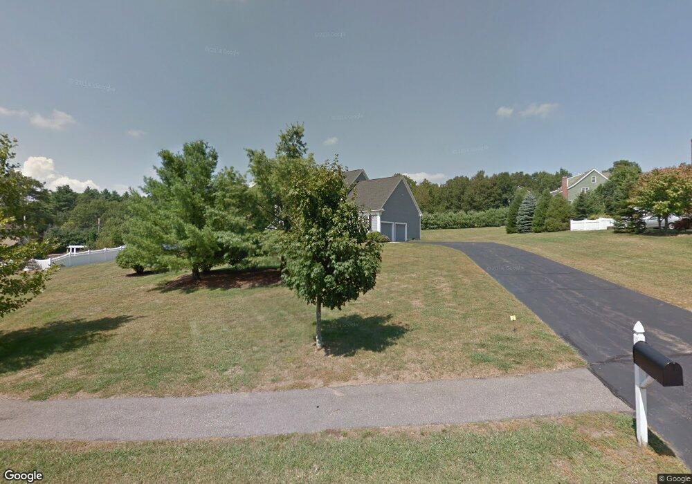
3 Hampton Rd Norfolk, MA 02056
Estimated Value: $960,826 - $1,071,000
4
Beds
3
Baths
2,766
Sq Ft
$366/Sq Ft
Est. Value
About This Home
This home is located at 3 Hampton Rd, Norfolk, MA 02056 and is currently estimated at $1,013,207, approximately $366 per square foot. 3 Hampton Rd is a home located in Norfolk County with nearby schools including H. Olive Day School, Freeman-Kennedy School, and Woodside Montessori Academy.
Ownership History
Date
Name
Owned For
Owner Type
Purchase Details
Closed on
Jan 19, 1999
Sold by
Wesley Rt
Bought by
Cushman Timothy H
Current Estimated Value
Home Financials for this Owner
Home Financials are based on the most recent Mortgage that was taken out on this home.
Original Mortgage
$332,900
Interest Rate
6.7%
Mortgage Type
Purchase Money Mortgage
Create a Home Valuation Report for This Property
The Home Valuation Report is an in-depth analysis detailing your home's value as well as a comparison with similar homes in the area
Home Values in the Area
Average Home Value in this Area
Purchase History
| Date | Buyer | Sale Price | Title Company |
|---|---|---|---|
| Cushman Timothy H | $369,900 | -- |
Source: Public Records
Mortgage History
| Date | Status | Borrower | Loan Amount |
|---|---|---|---|
| Open | Cushman Timothy H | $100,000 | |
| Open | Cushman Timothy H | $322,700 | |
| Closed | Cushman Timothy H | $332,900 | |
| Closed | Cushman Timothy H | $332,900 |
Source: Public Records
Tax History Compared to Growth
Tax History
| Year | Tax Paid | Tax Assessment Tax Assessment Total Assessment is a certain percentage of the fair market value that is determined by local assessors to be the total taxable value of land and additions on the property. | Land | Improvement |
|---|---|---|---|---|
| 2025 | $13,745 | $860,700 | $195,200 | $665,500 |
| 2024 | $13,404 | $860,900 | $203,100 | $657,800 |
| 2023 | $12,734 | $776,000 | $203,100 | $572,900 |
| 2022 | $11,855 | $651,400 | $190,600 | $460,800 |
| 2021 | $11,778 | $654,700 | $196,800 | $457,900 |
| 2020 | $12,347 | $662,400 | $197,700 | $464,700 |
| 2019 | $11,867 | $648,800 | $197,700 | $451,100 |
| 2018 | $11,492 | $617,200 | $207,100 | $410,100 |
| 2017 | $11,327 | $621,700 | $207,100 | $414,600 |
| 2016 | $11,155 | $617,000 | $213,800 | $403,200 |
| 2015 | $10,792 | $611,100 | $203,500 | $407,600 |
| 2014 | $10,327 | $592,500 | $203,500 | $389,000 |
Source: Public Records
Map
Nearby Homes
- 14 Essex St
- 20 Waites Crossing
- 13 Waites Crossing
- 19 Waites Crossing
- 9 Waites Crossing
- 8 Waites Crossing
- 11 Waites Crossing
- 32 Waites Crossing
- 8 Analore Cir
- 12 Waites Crossing Way
- 45 Joshua Rd
- 23 Fredrickson Rd
- 26 Ridge Rd
- 14 Robin Rd
- 50 Reed Fulton Ave Unit Lot 61
- 3 Pheasanthill Rd
- 8 Meadowlark Ln
- 38 Robin Rd
- 6 Trailside Way
- 246 Forest Grove Ave