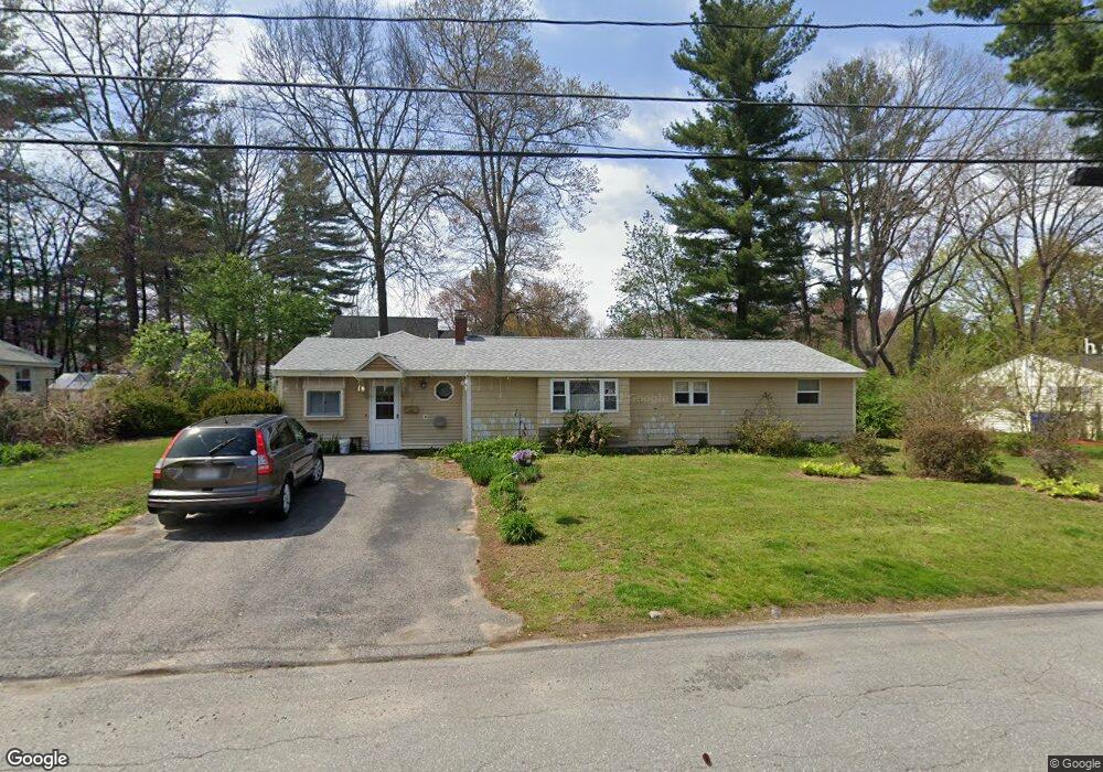
3 Hazelwood Rd Maynard, MA 01754
Estimated Value: $536,486 - $599,000
3
Beds
1
Bath
1,413
Sq Ft
$395/Sq Ft
Est. Value
About This Home
This home is located at 3 Hazelwood Rd, Maynard, MA 01754 and is currently estimated at $558,372, approximately $395 per square foot. 3 Hazelwood Rd is a home located in Middlesex County with nearby schools including Green Meadow School, Fowler School, and Maynard High School.
Ownership History
Date
Name
Owned For
Owner Type
Purchase Details
Closed on
Sep 15, 2025
Sold by
Tomas Rhodora G and Malpass Laila U
Bought by
Tomas Rhodora G and Tomas Rendo
Current Estimated Value
Home Financials for this Owner
Home Financials are based on the most recent Mortgage that was taken out on this home.
Original Mortgage
$442,440
Outstanding Balance
$441,650
Interest Rate
6.58%
Mortgage Type
New Conventional
Estimated Equity
$116,722
Purchase Details
Closed on
Aug 31, 2022
Sold by
Corini Carol R
Bought by
Galang-Tomas Rhodora and Malpass Laila U
Home Financials for this Owner
Home Financials are based on the most recent Mortgage that was taken out on this home.
Original Mortgage
$370,000
Interest Rate
5.54%
Mortgage Type
Purchase Money Mortgage
Purchase Details
Closed on
Nov 6, 2009
Sold by
Kiley Kevin F and Corini Carol R
Bought by
Corini Carol R and Kiley Kevin F
Home Financials for this Owner
Home Financials are based on the most recent Mortgage that was taken out on this home.
Original Mortgage
$150,000
Interest Rate
5.06%
Mortgage Type
Purchase Money Mortgage
Purchase Details
Closed on
Apr 26, 2007
Sold by
Kiley Kevin F
Bought by
Corini Carol R and Kiley Kevin F
Create a Home Valuation Report for This Property
The Home Valuation Report is an in-depth analysis detailing your home's value as well as a comparison with similar homes in the area
Home Values in the Area
Average Home Value in this Area
Purchase History
| Date | Buyer | Sale Price | Title Company |
|---|---|---|---|
| Tomas Rhodora G | -- | -- | |
| Galang-Tomas Rhodora | $402,000 | None Available | |
| Corini Carol R | -- | -- | |
| Corini Carol R | -- | -- | |
| Corini Carol R | -- | -- | |
| Corini Carol R | -- | -- |
Source: Public Records
Mortgage History
| Date | Status | Borrower | Loan Amount |
|---|---|---|---|
| Open | Tomas Rhodora G | $442,440 | |
| Previous Owner | Galang-Tomas Rhodora | $370,000 | |
| Previous Owner | Corini Carol R | $150,000 | |
| Previous Owner | Corini Carol R | $100,000 |
Source: Public Records
Tax History Compared to Growth
Tax History
| Year | Tax Paid | Tax Assessment Tax Assessment Total Assessment is a certain percentage of the fair market value that is determined by local assessors to be the total taxable value of land and additions on the property. | Land | Improvement |
|---|---|---|---|---|
| 2025 | $7,975 | $447,300 | $275,700 | $171,600 |
| 2024 | $7,553 | $422,400 | $262,600 | $159,800 |
| 2023 | $7,406 | $390,400 | $250,100 | $140,300 |
| 2022 | $7,026 | $342,400 | $210,100 | $132,300 |
| 2021 | $6,891 | $342,000 | $210,100 | $131,900 |
| 2020 | $6,646 | $322,000 | $190,100 | $131,900 |
| 2019 | $6,402 | $304,300 | $181,600 | $122,700 |
| 2018 | $6,228 | $275,100 | $165,100 | $110,000 |
| 2017 | $6,070 | $275,800 | $165,100 | $110,700 |
| 2016 | $5,861 | $275,800 | $165,100 | $110,700 |
| 2015 | $5,660 | $253,700 | $157,600 | $96,100 |
| 2014 | $5,267 | $236,300 | $152,600 | $83,700 |
Source: Public Records
Map
Nearby Homes