Estimated Value: $811,000 - $842,000
3
Beds
2
Baths
1,534
Sq Ft
$539/Sq Ft
Est. Value
About This Home
This home is located at 3 Heald Rd, Acton, MA 01720 and is currently estimated at $826,370, approximately $538 per square foot. 3 Heald Rd is a home located in Middlesex County with nearby schools including Acton-Boxborough Regional High School and Oak Meadow Montessori School.
Ownership History
Date
Name
Owned For
Owner Type
Purchase Details
Closed on
Apr 12, 2021
Sold by
Pierce Allen R and Pierce Karen A
Bought by
A Richard Pierce T
Current Estimated Value
Purchase Details
Closed on
Jul 27, 1999
Sold by
Booth James and Booth Theodora
Bought by
Pierce Allen R and Johnson Karen A
Purchase Details
Closed on
Jul 21, 1997
Sold by
Parkwood Est Rlty Inc
Bought by
Burr Evan R and Burr Debra G
Purchase Details
Closed on
Jun 27, 1997
Sold by
Smith Debra G
Bought by
Booth James and Booth Theodora
Create a Home Valuation Report for This Property
The Home Valuation Report is an in-depth analysis detailing your home's value as well as a comparison with similar homes in the area
Home Values in the Area
Average Home Value in this Area
Purchase History
| Date | Buyer | Sale Price | Title Company |
|---|---|---|---|
| A Richard Pierce T | -- | None Available | |
| Pierce Allen R | $275,000 | -- | |
| Burr Evan R | $369,900 | -- | |
| Booth James | $232,000 | -- |
Source: Public Records
Mortgage History
| Date | Status | Borrower | Loan Amount |
|---|---|---|---|
| Previous Owner | Booth James | $196,905 | |
| Previous Owner | Booth James | $50,000 |
Source: Public Records
Tax History
| Year | Tax Paid | Tax Assessment Tax Assessment Total Assessment is a certain percentage of the fair market value that is determined by local assessors to be the total taxable value of land and additions on the property. | Land | Improvement |
|---|---|---|---|---|
| 2025 | $12,664 | $738,400 | $341,100 | $397,300 |
| 2024 | $12,182 | $730,800 | $341,100 | $389,700 |
| 2023 | $11,971 | $681,700 | $310,100 | $371,600 |
| 2022 | $11,608 | $596,800 | $269,600 | $327,200 |
| 2021 | $10,609 | $524,400 | $249,400 | $275,000 |
| 2020 | $10,089 | $524,400 | $249,400 | $275,000 |
| 2019 | $9,670 | $499,200 | $249,400 | $249,800 |
| 2018 | $9,140 | $471,600 | $249,400 | $222,200 |
| 2017 | $8,802 | $461,800 | $249,400 | $212,400 |
| 2016 | $8,540 | $444,100 | $249,400 | $194,700 |
| 2015 | $8,310 | $436,200 | $249,400 | $186,800 |
| 2014 | $8,190 | $421,100 | $249,400 | $171,700 |
Source: Public Records
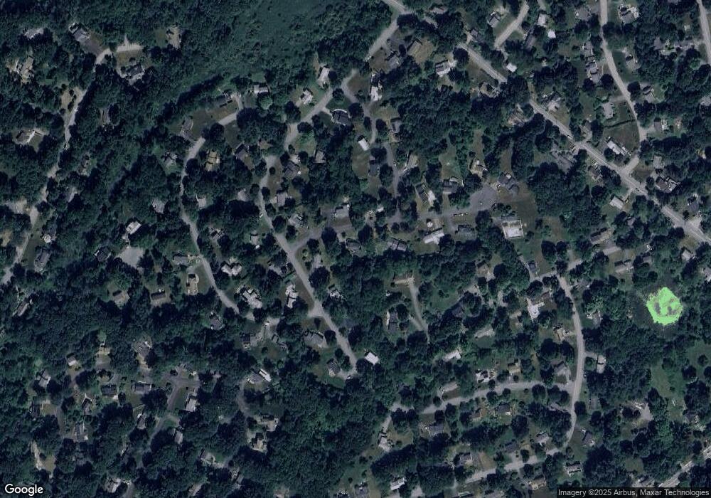
Map
Nearby Homes
- 11 Braebrook
- 33 Meadowbrook Rd
- 18 Hayward Rd
- 491 Main St
- 46 Taylor Rd
- 524 Main St
- 709 Main St
- 27 Forest Rd
- 79 Charter Rd
- 246 Main St Unit 2
- 7 Kelley Rd
- 187 Great Rd Unit A1
- 15 Davis Rd Unit B-8
- 8 Algonquin Rd
- 60 Nashoba Rd
- 159 Skyline Dr Unit 159
- 380A Great Rd Unit 301
- 1 Bayberry Rd
- 25 Nylander Way
- 388 Great Rd Unit B14
- 5 Heald Rd
- 19 Simon Willard Rd
- 4 Heald Rd
- 17 Simon Willard Rd
- 6 Heald Rd
- 39 Minuteman Rd
- 21 Simon Willard Rd
- 7 Heald Rd
- 15 Simon Willard Rd
- 4 Trask Rd
- 18 Simon Willard Rd
- 8 Heald Rd
- 20 Simon Willard Rd
- 41 Minuteman Rd
- 23 Simon Willard Rd
- 23 Simon Willard Rd Unit 23
- 16 Simon Willard Rd
- 25 Simon Willard Rd
- 13 Simon Willard Rd
- 37 Minuteman Rd
Your Personal Tour Guide
Ask me questions while you tour the home.