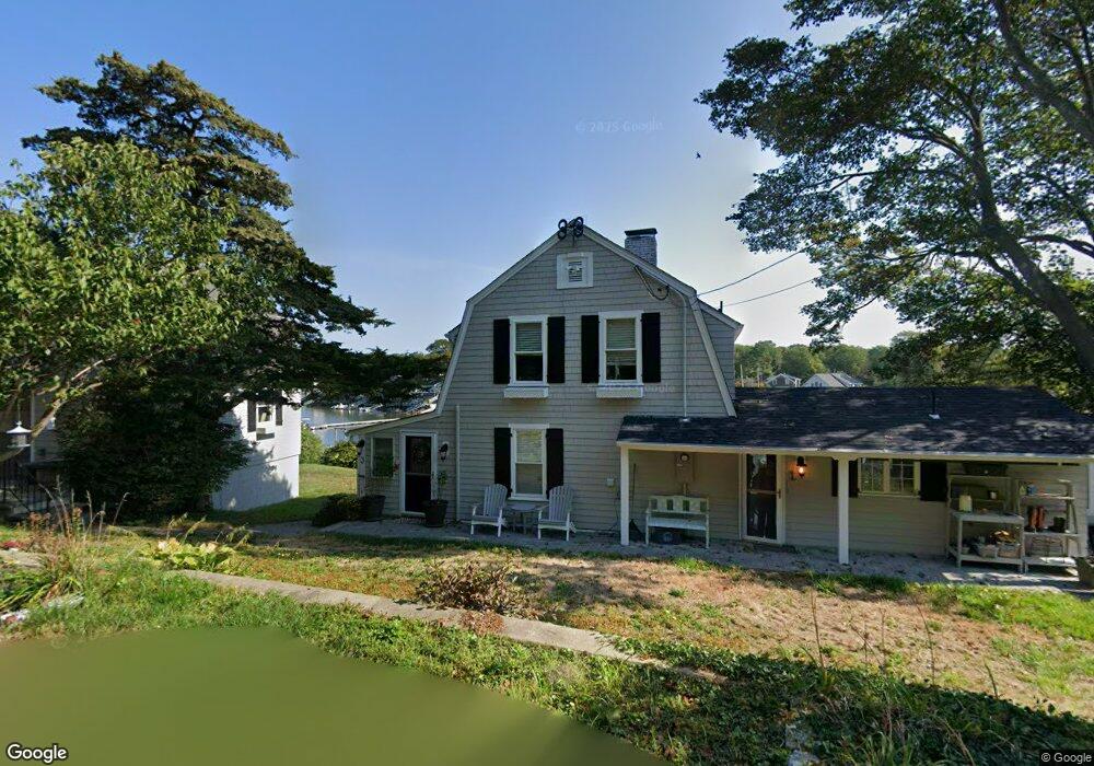
3 Hills Rd Gloucester, MA 01930
Riverview NeighborhoodEstimated Value: $950,000 - $1,619,735
3
Beds
2
Baths
1,779
Sq Ft
$758/Sq Ft
Est. Value
About This Home
This home is located at 3 Hills Rd, Gloucester, MA 01930 and is currently estimated at $1,348,684, approximately $758 per square foot. 3 Hills Rd is a home located in Essex County with nearby schools including Beeman Memorial, Ralph B O'maley Middle School, and Gloucester High School.
Ownership History
Date
Name
Owned For
Owner Type
Purchase Details
Closed on
Jul 3, 2017
Sold by
Maguire Aidan G
Bought by
Maguire Christopher
Current Estimated Value
Purchase Details
Closed on
Aug 31, 1990
Sold by
Disesa Verdi J
Bought by
Maguire Aidan
Home Financials for this Owner
Home Financials are based on the most recent Mortgage that was taken out on this home.
Original Mortgage
$125,000
Interest Rate
9.85%
Mortgage Type
Purchase Money Mortgage
Create a Home Valuation Report for This Property
The Home Valuation Report is an in-depth analysis detailing your home's value as well as a comparison with similar homes in the area
Home Values in the Area
Average Home Value in this Area
Purchase History
| Date | Buyer | Sale Price | Title Company |
|---|---|---|---|
| Maguire Christopher | -- | -- | |
| Maguire Aidan | $262,500 | -- |
Source: Public Records
Mortgage History
| Date | Status | Borrower | Loan Amount |
|---|---|---|---|
| Previous Owner | Maguire Aidan | $93,000 | |
| Previous Owner | Maguire Aidan | $125,000 | |
| Previous Owner | Maguire Aidan | $30,000 |
Source: Public Records
Tax History Compared to Growth
Tax History
| Year | Tax Paid | Tax Assessment Tax Assessment Total Assessment is a certain percentage of the fair market value that is determined by local assessors to be the total taxable value of land and additions on the property. | Land | Improvement |
|---|---|---|---|---|
| 2025 | $13,979 | $1,436,700 | $904,700 | $532,000 |
| 2024 | $13,979 | $1,436,700 | $904,700 | $532,000 |
| 2023 | $13,156 | $1,242,300 | $771,800 | $470,500 |
| 2022 | $12,776 | $1,089,200 | $671,400 | $417,800 |
| 2021 | $12,375 | $994,800 | $610,400 | $384,400 |
| 2020 | $12,225 | $991,500 | $610,400 | $381,100 |
| 2019 | $11,761 | $926,800 | $582,000 | $344,800 |
| 2018 | $11,462 | $886,500 | $567,800 | $318,700 |
| 2017 | $11,482 | $870,500 | $540,800 | $329,700 |
| 2016 | $11,087 | $814,600 | $517,200 | $297,400 |
| 2015 | $10,703 | $784,100 | $505,400 | $278,700 |
Source: Public Records
Map
Nearby Homes
- 49 Thurston Point Rd
- 672 Washington St
- 16 Reynard St
- 6 River Rd
- 28 Riverview Rd Unit B
- 178 Atlantic St
- 79 Dennison St
- 188 Atlantic St
- 226 Atlantic St
- 18 Cherry St
- 13 & 10 Ferry Hill Rd
- 273 Washington St Unit 2
- 7 Cove Way
- 19 Mystic Ave
- 30 Atlantic St
- 6 Beauport Ave
- 185 Washington St
- 8 Arthur St
- 40 Sargent St
- 13 1/2 Cleveland St
- 7 Hills Rd
- 25 Shore Hill Rd
- 32 Riverside Rd
- 6 Larady Rd
- 28 Riverside Rd
- 24 Shore Hill Rd
- 27 Riverside Rd
- 22 Riverside Rd
- 19 Shore Hill Rd
- 3 Larady Rd
- 22 Shore Hill Rd
- 10 Samuel Riggs Cir
- 18 Riverside Rd
- 20 Shore Hill Rd
- 15 Shore Hill Rd
- 12 Samuel Riggs Cir
- 14 Shore Hill Rd
- 19R Riverside Rd
- 9 Wheelers Point Rd
- 2R Doanne Rd