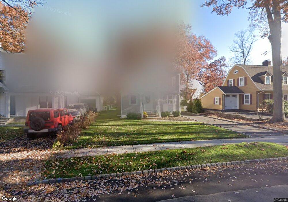
3 Iris Rd Summit, NJ 07901
Estimated Value: $843,000 - $1,344,730
Studio
--
Bath
2,131
Sq Ft
$559/Sq Ft
Est. Value
About This Home
This home is located at 3 Iris Rd, Summit, NJ 07901 and is currently estimated at $1,191,683, approximately $559 per square foot. 3 Iris Rd is a home located in Union County with nearby schools including L C Johnson Summit Middle School, Summit Sr High School, and Kent Place School.
Ownership History
Date
Name
Owned For
Owner Type
Purchase Details
Closed on
Jan 19, 2018
Sold by
Kane Pauline
Bought by
Kane Peter G and Kane Margaret E
Current Estimated Value
Home Financials for this Owner
Home Financials are based on the most recent Mortgage that was taken out on this home.
Original Mortgage
$225,000
Outstanding Balance
$126,462
Interest Rate
3.93%
Mortgage Type
New Conventional
Estimated Equity
$1,065,221
Purchase Details
Closed on
Oct 12, 1999
Sold by
Goldberger Jason and Goldberger Stephanie
Bought by
Kane John and Kane Pauline
Home Financials for this Owner
Home Financials are based on the most recent Mortgage that was taken out on this home.
Original Mortgage
$315,000
Interest Rate
7.61%
Purchase Details
Closed on
Jun 15, 1998
Sold by
Arndt Edward
Bought by
Goldberger Jason T and Pulver Stephanie
Purchase Details
Closed on
Jun 10, 1996
Sold by
Drummond Gregory O and Drummond Leslie A
Bought by
Jacob Cathy Anne
Create a Home Valuation Report for This Property
The Home Valuation Report is an in-depth analysis detailing your home's value as well as a comparison with similar homes in the area
Home Values in the Area
Average Home Value in this Area
Purchase History
| Date | Buyer | Sale Price | Title Company |
|---|---|---|---|
| Kane Peter G | $450,000 | None Available | |
| Kane Peter G | $450,000 | None Available | |
| Kane John | $349,000 | -- | |
| Goldberger Jason T | $272,500 | -- | |
| Jacob Cathy Anne | $275,000 | -- |
Source: Public Records
Mortgage History
| Date | Status | Borrower | Loan Amount |
|---|---|---|---|
| Open | Kane Peter G | $225,000 | |
| Closed | Kane Peter G | $225,000 | |
| Previous Owner | Kane John | $315,000 |
Source: Public Records
Tax History
| Year | Tax Paid | Tax Assessment Tax Assessment Total Assessment is a certain percentage of the fair market value that is determined by local assessors to be the total taxable value of land and additions on the property. | Land | Improvement |
|---|---|---|---|---|
| 2025 | $13,978 | $320,900 | $139,700 | $181,200 |
| 2024 | $13,885 | $320,900 | $139,700 | $181,200 |
| 2023 | $13,885 | $320,900 | $139,700 | $181,200 |
| 2022 | $13,744 | $320,900 | $139,700 | $181,200 |
| 2021 | $13,853 | $320,900 | $139,700 | $181,200 |
| 2020 | $13,991 | $320,900 | $139,700 | $181,200 |
| 2019 | $14,007 | $320,900 | $139,700 | $181,200 |
| 2018 | $10,218 | $235,600 | $139,700 | $95,900 |
| 2017 | $10,284 | $235,600 | $139,700 | $95,900 |
| 2016 | $10,133 | $235,600 | $139,700 | $95,900 |
| 2015 | $9,685 | $235,600 | $139,700 | $95,900 |
| 2014 | $9,428 | $235,600 | $139,700 | $95,900 |
Source: Public Records
Map
Nearby Homes
- 49 Minton Ave
- 81 Summit Ave
- 8 Hedges Ave
- 9 N Hillside Ave
- 26 Pihlman Place
- 15 N Hillside Ave
- 3 Fuller Ave
- 25 Bedford Rd
- 149 Hillcrest Ave
- 111 N Summit Ave
- 6 Edgehill Ave
- 49 Norwood Ave
- 55 Oxbow Ln
- 60 Fernwood Rd
- 62 Weston Ave
- 195 Hillside Ave
- 000 River Rd
- 55 River Rd
- 107 Kent Place Blvd
- 23 Euclid Ave
Your Personal Tour Guide
Ask me questions while you tour the home.