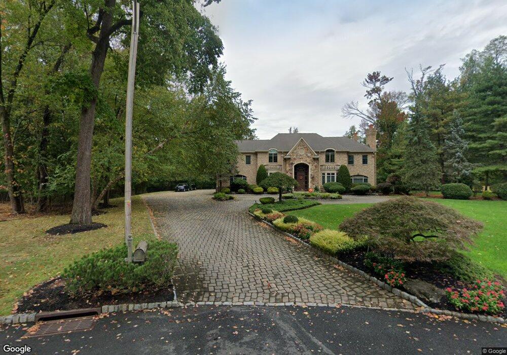
3 Jason Ct Scotch Plains, NJ 07076
Estimated Value: $1,524,327 - $2,308,000
--
Bed
--
Bath
5,793
Sq Ft
$339/Sq Ft
Est. Value
About This Home
This home is located at 3 Jason Ct, Scotch Plains, NJ 07076 and is currently estimated at $1,966,082, approximately $339 per square foot. 3 Jason Ct is a home located in Union County with nearby schools including J. Ackerman Coles Elementary School, Terrill Middle School, and Scotch Plains-Fanwood High School.
Ownership History
Date
Name
Owned For
Owner Type
Purchase Details
Closed on
Jul 10, 2009
Sold by
Kolenski Anthony R and Kolenski Gypsie
Bought by
Depaola Edward and Depaola Mary
Current Estimated Value
Home Financials for this Owner
Home Financials are based on the most recent Mortgage that was taken out on this home.
Original Mortgage
$1,050,000
Outstanding Balance
$674,065
Interest Rate
4.99%
Mortgage Type
Purchase Money Mortgage
Estimated Equity
$1,292,017
Purchase Details
Closed on
Sep 15, 1997
Sold by
Gaines Paul R
Bought by
Kolenski Anthony R and Kolenski Gypsie
Create a Home Valuation Report for This Property
The Home Valuation Report is an in-depth analysis detailing your home's value as well as a comparison with similar homes in the area
Home Values in the Area
Average Home Value in this Area
Purchase History
| Date | Buyer | Sale Price | Title Company |
|---|---|---|---|
| Depaola Edward | $1,500,000 | Multiple | |
| Kolenski Anthony R | $417,500 | -- |
Source: Public Records
Mortgage History
| Date | Status | Borrower | Loan Amount |
|---|---|---|---|
| Open | Depaola Edward | $1,050,000 |
Source: Public Records
Tax History Compared to Growth
Tax History
| Year | Tax Paid | Tax Assessment Tax Assessment Total Assessment is a certain percentage of the fair market value that is determined by local assessors to be the total taxable value of land and additions on the property. | Land | Improvement |
|---|---|---|---|---|
| 2025 | $35,586 | $302,400 | $81,300 | $221,100 |
| 2024 | $34,537 | $302,400 | $81,300 | $221,100 |
| 2023 | $34,537 | $302,400 | $81,300 | $221,100 |
| 2022 | $34,126 | $302,400 | $81,300 | $221,100 |
| 2021 | $34,068 | $302,400 | $81,300 | $221,100 |
| 2020 | $33,905 | $302,400 | $81,300 | $221,100 |
| 2019 | $32,831 | $295,000 | $81,300 | $213,700 |
| 2018 | $33,920 | $310,000 | $81,300 | $228,700 |
| 2017 | $33,167 | $310,000 | $81,300 | $228,700 |
| 2016 | $32,528 | $310,000 | $81,300 | $228,700 |
| 2015 | $34,059 | $330,000 | $81,300 | $248,700 |
| 2014 | $32,937 | $330,000 | $81,300 | $248,700 |
Source: Public Records
Map
Nearby Homes
- 1621 Terrill Rd
- 1191 Cooper Rd
- 49 Highlander Dr
- 19 Highlander Dr
- 10 Michael Ln
- 1380 Terrill Rd
- 1701 Raritan Rd
- 2 Unami Ln
- 57 Rambling Dr
- 980 Raritan Rd
- 1232 Sunnyfield Ln
- 8 Mary Ellen Dr
- 1224 Sunnyfield Ln
- 1840 Raritan Rd
- 2 Dutch Ln
- 1535 Frank St
- 1691 Frank St
- 1231 Rahway Rd
- 939-45 Post Dr
- 154 Westgate Dr