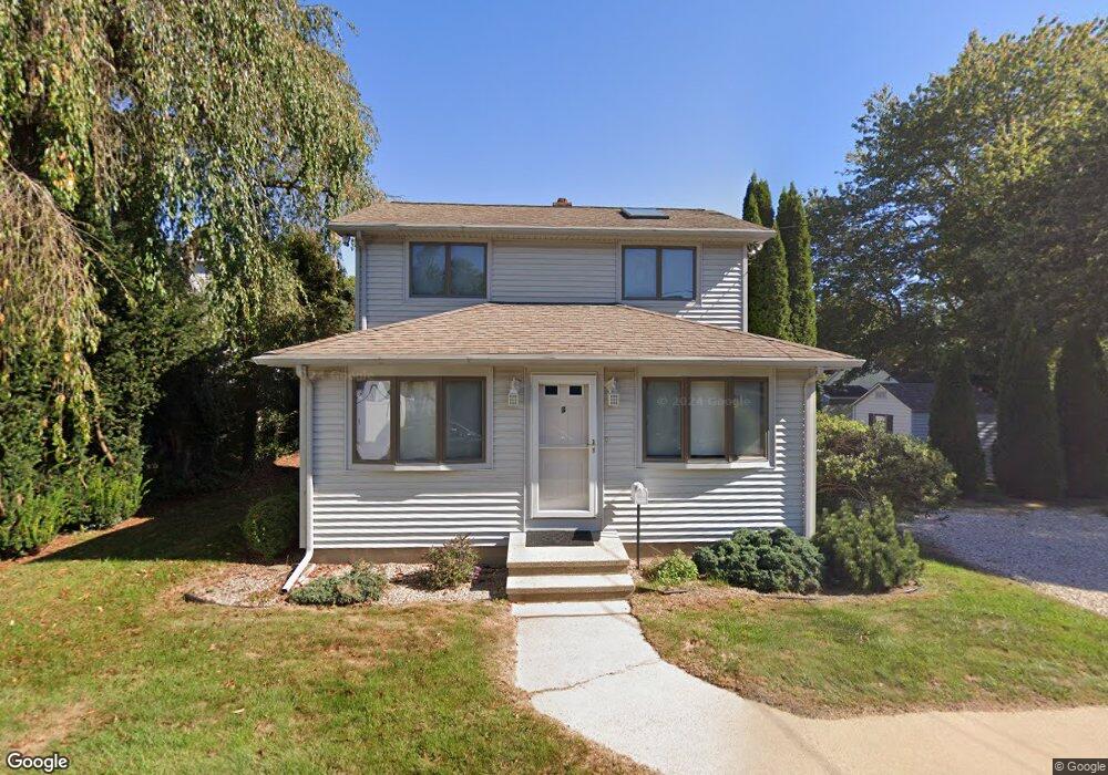
3 Kenn Rd Old Saybrook, CT 06475
Estimated Value: $459,000 - $660,000
3
Beds
2
Baths
1,236
Sq Ft
$451/Sq Ft
Est. Value
About This Home
This home is located at 3 Kenn Rd, Old Saybrook, CT 06475 and is currently estimated at $557,842, approximately $451 per square foot. 3 Kenn Rd is a home located in Middlesex County with nearby schools including Kathleen E. Goodwin School, Old Saybrook Middle School, and Old Saybrook Senior High School.
Ownership History
Date
Name
Owned For
Owner Type
Purchase Details
Closed on
Jan 2, 2018
Sold by
Slepski Joseph L
Bought by
Slepski Joseph L
Current Estimated Value
Purchase Details
Closed on
Sep 3, 1992
Sold by
Marconi James P
Bought by
Slepski Joseph E and Slepski Lorraine L
Purchase Details
Closed on
Jun 1, 1987
Sold by
Chapin George
Bought by
Marconi James P
Create a Home Valuation Report for This Property
The Home Valuation Report is an in-depth analysis detailing your home's value as well as a comparison with similar homes in the area
Home Values in the Area
Average Home Value in this Area
Purchase History
| Date | Buyer | Sale Price | Title Company |
|---|---|---|---|
| Slepski Joseph L | -- | -- | |
| Slepski Joseph E | -- | -- | |
| Slepski Joseph E | -- | -- | |
| Slepski Joseph E | $131,500 | -- | |
| Marconi James P | $101,000 | -- |
Source: Public Records
Mortgage History
| Date | Status | Borrower | Loan Amount |
|---|---|---|---|
| Previous Owner | Marconi James P | $74,000 | |
| Previous Owner | Marconi James P | $115,000 | |
| Previous Owner | Marconi James P | $91,000 |
Source: Public Records
Tax History
| Year | Tax Paid | Tax Assessment Tax Assessment Total Assessment is a certain percentage of the fair market value that is determined by local assessors to be the total taxable value of land and additions on the property. | Land | Improvement |
|---|---|---|---|---|
| 2025 | $5,050 | $325,800 | $170,300 | $155,500 |
| 2024 | $4,952 | $325,800 | $170,300 | $155,500 |
| 2023 | $4,092 | $200,100 | $102,900 | $97,200 |
| 2022 | $4,018 | $200,100 | $102,900 | $97,200 |
| 2021 | $4,012 | $200,100 | $102,900 | $97,200 |
| 2020 | $4,012 | $200,100 | $102,900 | $97,200 |
| 2019 | $3,952 | $200,100 | $102,900 | $97,200 |
| 2018 | $4,124 | $210,400 | $102,900 | $107,500 |
| 2017 | $4,136 | $210,400 | $102,900 | $107,500 |
| 2016 | $4,052 | $210,400 | $102,900 | $107,500 |
| 2015 | $3,958 | $210,400 | $102,900 | $107,500 |
| 2014 | $3,892 | $210,400 | $102,900 | $107,500 |
Source: Public Records
Map
Nearby Homes
- 14 Denmore Ln
- 118 Sandy Point Rd
- 122 Old Post Rd
- 1780 Boston Post Rd
- 8 Cook Terrace
- 39 Sagamore Terrace Rd
- 60 Ingham Hill Rd
- 10 Winterberry Cir
- 18 Quarry St
- 41 Briarwood Dr
- 0 Merritt Ln
- 1333A Boston Post Rd
- 25 Pond Rd
- 24 Seabreeze Rd
- 29 Salt Island Rd
- 125 Main St
- 103 Maple Ave
- 1 Beamon Meadow Place
- 41 Trolley Rd
- 24 W Shore Dr
Your Personal Tour Guide
Ask me questions while you tour the home.