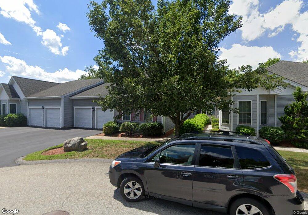
3 Lindsey Ln South Grafton, MA 01560
Estimated Value: $440,804 - $494,000
2
Beds
2
Baths
1,447
Sq Ft
$323/Sq Ft
Est. Value
About This Home
This home is located at 3 Lindsey Ln, South Grafton, MA 01560 and is currently estimated at $467,451, approximately $323 per square foot. 3 Lindsey Ln is a home located in Worcester County with nearby schools including Grafton High School, Silver Spruce Montessori School, and Touchstone Community School.
Ownership History
Date
Name
Owned For
Owner Type
Purchase Details
Closed on
Jul 12, 2013
Sold by
Thorpe Berta E
Bought by
Thorpe Glenn and Thorpe David
Current Estimated Value
Purchase Details
Closed on
Aug 29, 2006
Sold by
Despres Ronald G
Bought by
Thorpe Berta Elisabeth
Purchase Details
Closed on
Aug 1, 2005
Sold by
Northwind Assoc Llc
Bought by
Thorpe Berta Elisabeth
Create a Home Valuation Report for This Property
The Home Valuation Report is an in-depth analysis detailing your home's value as well as a comparison with similar homes in the area
Home Values in the Area
Average Home Value in this Area
Purchase History
| Date | Buyer | Sale Price | Title Company |
|---|---|---|---|
| Thorpe Glenn | -- | -- | |
| Thorpe Berta Elisabeth | -- | -- | |
| Thorpe Berta Elisabeth | $327,431 | -- |
Source: Public Records
Tax History Compared to Growth
Tax History
| Year | Tax Paid | Tax Assessment Tax Assessment Total Assessment is a certain percentage of the fair market value that is determined by local assessors to be the total taxable value of land and additions on the property. | Land | Improvement |
|---|---|---|---|---|
| 2025 | $5,032 | $361,000 | $0 | $361,000 |
| 2024 | $4,920 | $343,800 | $0 | $343,800 |
| 2023 | $4,831 | $307,500 | $0 | $307,500 |
| 2022 | $5,452 | $323,000 | $0 | $323,000 |
| 2021 | $5,020 | $292,200 | $0 | $292,200 |
| 2020 | $4,544 | $275,400 | $0 | $275,400 |
| 2019 | $4,443 | $266,700 | $0 | $266,700 |
| 2018 | $4,466 | $269,200 | $0 | $269,200 |
| 2017 | $4,323 | $263,600 | $0 | $263,600 |
| 2016 | $4,290 | $256,100 | $0 | $256,100 |
| 2015 | $4,295 | $260,300 | $0 | $260,300 |
| 2014 | $3,972 | $260,300 | $0 | $260,300 |
Source: Public Records
Map
Nearby Homes
- 29 Sampson St Unit 29
- 44 Fisherville Terrace
- 55 Fisherville Terrace
- 58 Fisherville Terrace
- 110 Main St
- 109 Main St
- 395 Providence Rd Unit 4
- 150 Sprague St
- 19 Milford Rd
- 7 Pine Hill Rd
- 86 Mikes Way Unit 86
- 84 Mikes Way Unit 84
- 191 Hartness Rd
- 151 Providence Rd Unit 24
- 2767 Providence Rd
- 90 Leland Hill Rd
- 13 Pullard Rd Unit 38
- 29 Pullard Rd
- 185 Main St
- 70 Londonderry Rd
- 7 Lindsey Ln
- 7 Lindsey Ln Unit 7
- 291 Providence Rd
- 291 Providence Rd Unit lL
- 3 Summerfield Dr
- 289 Providence Rd
- 5 Summerfield Dr
- 5 Summerfield Dr Unit 7
- 5 Summerfield Dr Unit 5
- 285 Providence Rd
- 285 Providence Rd Unit 1
- 285 Providence Rd Unit 2
- 285 Providence Rd Unit 1
- 285 Providence Rd Unit 3
- 175 Keith Hill Rd
- 171 Keith Hill Rd
- 283 Providence Rd
- 290 Providence Rd
- 7 Summerfield Dr
- 173 Keith Hill Rd