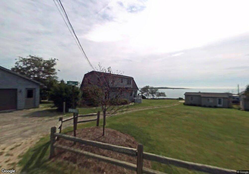
3 Linnel Dr Bailey Island, ME 04003
Harpswell NeighborhoodEstimated Value: $1,160,000 - $1,258,000
3
Beds
2
Baths
1,664
Sq Ft
$714/Sq Ft
Est. Value
About This Home
This home is located at 3 Linnel Dr, Bailey Island, ME 04003 and is currently estimated at $1,187,550, approximately $713 per square foot. 3 Linnel Dr is a home with nearby schools including Mt Ararat High School.
Ownership History
Date
Name
Owned For
Owner Type
Purchase Details
Closed on
Aug 22, 2025
Sold by
Maffei Susan W
Bought by
Haahr Mrit
Current Estimated Value
Home Financials for this Owner
Home Financials are based on the most recent Mortgage that was taken out on this home.
Original Mortgage
$864,546
Outstanding Balance
$862,287
Interest Rate
6.72%
Mortgage Type
New Conventional
Estimated Equity
$325,263
Create a Home Valuation Report for This Property
The Home Valuation Report is an in-depth analysis detailing your home's value as well as a comparison with similar homes in the area
Home Values in the Area
Average Home Value in this Area
Purchase History
| Date | Buyer | Sale Price | Title Company |
|---|---|---|---|
| Haahr Mrit | $1,152,728 | -- | |
| Haahr Mrit | $1,152,728 | -- |
Source: Public Records
Mortgage History
| Date | Status | Borrower | Loan Amount |
|---|---|---|---|
| Open | Haahr Mrit | $864,546 | |
| Closed | Haahr Mrit | $864,546 |
Source: Public Records
Tax History Compared to Growth
Tax History
| Year | Tax Paid | Tax Assessment Tax Assessment Total Assessment is a certain percentage of the fair market value that is determined by local assessors to be the total taxable value of land and additions on the property. | Land | Improvement |
|---|---|---|---|---|
| 2024 | $3,031 | $476,500 | $250,500 | $226,000 |
| 2023 | $2,907 | $476,500 | $250,500 | $226,000 |
| 2022 | $2,811 | $476,500 | $250,500 | $226,000 |
| 2021 | $2,451 | $362,600 | $214,000 | $148,600 |
| 2020 | $2,444 | $362,600 | $214,000 | $148,600 |
| 2019 | $2,429 | $362,600 | $214,000 | $148,600 |
| 2018 | $2,350 | $362,600 | $214,000 | $148,600 |
| 2017 | $2,342 | $362,600 | $214,000 | $148,600 |
| 2016 | $2,321 | $362,600 | $214,000 | $148,600 |
| 2015 | $2,263 | $362,600 | $214,000 | $148,600 |
| 2013 | $2,096 | $362,600 | $214,000 | $148,600 |
Source: Public Records
Map
Nearby Homes
- 19 Hugh Ave
- 30 Osbourne Row
- 10 S Colony Branch Rd
- 10 Irene Ave
- 20 Spruce Ledge Rd
- 87 Lowells Cove Rd
- 1689 Harpswell Islands Rd
- 16 Ash Point Rd Unit 16
- 18 Ash Point Rd
- 8 & 2 Kane Ln
- 6 Kane Ln
- 1450 Harpswell Neck Rd
- 1 Mallard Pond Rd
- 20 Long Point Island
- 0 Bayview Rd Unit 2 1632776
- 41 Spruce Brook Dr
- Lot 2A Allen Point Rd
- Lot 2B Allen Point Rd
- Lot 129 Harpswell Neck Rd
- lot C Long Point Rd