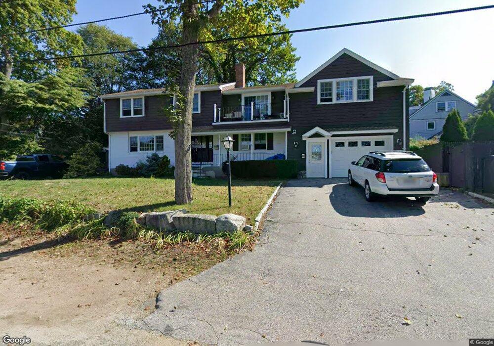
3 Lowe Dr Gloucester, MA 01930
Magnolia NeighborhoodEstimated Value: $908,000 - $1,440,000
3
Beds
4
Baths
2,849
Sq Ft
$397/Sq Ft
Est. Value
About This Home
This home is located at 3 Lowe Dr, Gloucester, MA 01930 and is currently estimated at $1,131,330, approximately $397 per square foot. 3 Lowe Dr is a home located in Essex County with nearby schools including West Parish, Ralph B O'maley Middle School, and Gloucester High School.
Ownership History
Date
Name
Owned For
Owner Type
Purchase Details
Closed on
Dec 22, 2015
Sold by
Linquata Lillian R and Linquata Michael L
Bought by
Mortillard Anne R
Current Estimated Value
Create a Home Valuation Report for This Property
The Home Valuation Report is an in-depth analysis detailing your home's value as well as a comparison with similar homes in the area
Home Values in the Area
Average Home Value in this Area
Purchase History
| Date | Buyer | Sale Price | Title Company |
|---|---|---|---|
| Mortillard Anne R | -- | -- |
Source: Public Records
Tax History
| Year | Tax Paid | Tax Assessment Tax Assessment Total Assessment is a certain percentage of the fair market value that is determined by local assessors to be the total taxable value of land and additions on the property. | Land | Improvement |
|---|---|---|---|---|
| 2025 | $9,644 | $992,200 | $245,100 | $747,100 |
| 2024 | $9,540 | $980,500 | $233,400 | $747,100 |
| 2023 | $9,135 | $862,600 | $208,400 | $654,200 |
| 2022 | $8,819 | $751,800 | $177,200 | $574,600 |
| 2021 | $7,634 | $613,700 | $161,100 | $452,600 |
| 2020 | $7,631 | $618,900 | $161,100 | $457,800 |
| 2019 | $7,351 | $579,300 | $161,100 | $418,200 |
| 2018 | $7,131 | $551,500 | $161,100 | $390,400 |
| 2017 | $6,913 | $524,100 | $153,400 | $370,700 |
| 2016 | $6,855 | $503,700 | $153,900 | $349,800 |
| 2015 | $6,572 | $481,500 | $153,900 | $327,600 |
Source: Public Records
Map
Nearby Homes
- 2 Ocean Ave Unit 2K
- 24 Flume Rd
- 53 Raymond St
- 468 Summer St
- 450 Summer St
- 239 Summer St
- 8 Forest St
- 5 Marshfield St
- 4 Cobb Ave
- 100 Eastern Point Blvd
- 368 Essex Ave
- 6 Smith Ln Unit 6
- 5 Lepage Ln
- 25 Masconomo St
- 24 Cobblestone Ln Unit 603
- 45 School St
- 8 Flatley Ave
- 5 Samoset Rd Unit B
- 145 Essex Ave Unit 402
- 26 Central St
- 5 Lowe Dr
- 12 Norman Ave Unit 1
- 12 Norman Ave
- 2 Dalton Ave
- 10 Norman Ave
- 4 Dalton Ave
- 4 Lowe Dr
- 8 Dalton Ave
- 8 Norman Ave
- 6 Lowe Dr
- 7 Lowe Dr
- 8 Lowe Dr
- 19 Dalton Ave
- 4R Lowe Dr
- 10 Dalton Ave Unit 9
- 10 Dalton Ave Unit 8
- 10 Dalton Ave Unit 7
- 10 Dalton Ave Unit 6
- 10 Dalton Ave Unit 5
- 10 Dalton Ave Unit 4
Your Personal Tour Guide
Ask me questions while you tour the home.