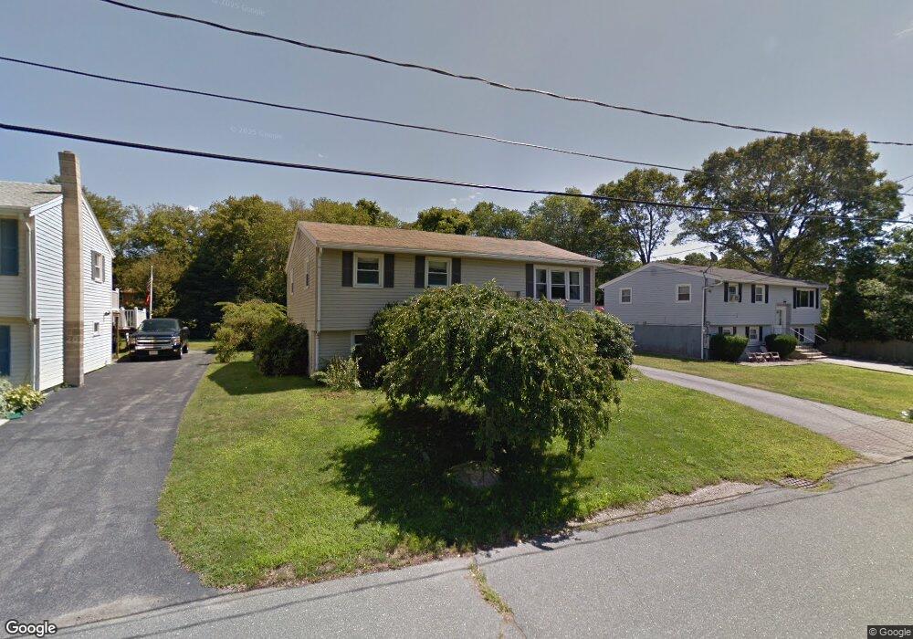
3 Macomber Rd Unit SINGLE FAM Gloucester, MA 01930
Estimated Value: $573,000 - $726,000
3
Beds
1
Bath
2,078
Sq Ft
$311/Sq Ft
Est. Value
About This Home
This home is located at 3 Macomber Rd Unit SINGLE FAM, Gloucester, MA 01930 and is currently estimated at $647,157, approximately $311 per square foot. 3 Macomber Rd Unit SINGLE FAM is a home located in Essex County with nearby schools including Beeman Memorial, Ralph B O'maley Middle School, and Faith Christian School.
Ownership History
Date
Name
Owned For
Owner Type
Purchase Details
Closed on
Jun 26, 2017
Sold by
Alves Denise A and Friedman Donna D
Bought by
Kendall William J and Bouchard Alizabeth M
Current Estimated Value
Home Financials for this Owner
Home Financials are based on the most recent Mortgage that was taken out on this home.
Original Mortgage
$50,000
Outstanding Balance
$41,723
Interest Rate
4.05%
Mortgage Type
New Conventional
Estimated Equity
$605,434
Purchase Details
Closed on
Aug 1, 1966
Bought by
Demetri Rosalind
Create a Home Valuation Report for This Property
The Home Valuation Report is an in-depth analysis detailing your home's value as well as a comparison with similar homes in the area
Home Values in the Area
Average Home Value in this Area
Purchase History
| Date | Buyer | Sale Price | Title Company |
|---|---|---|---|
| Kendall William J | $410,000 | -- | |
| Demetri Rosalind | -- | -- |
Source: Public Records
Mortgage History
| Date | Status | Borrower | Loan Amount |
|---|---|---|---|
| Open | Kendall William J | $50,000 | |
| Previous Owner | Demetri Rosalind | $55,000 | |
| Previous Owner | Demetri Rosalind | $60,000 | |
| Previous Owner | Demetri Rosalind | $17,000 |
Source: Public Records
Tax History Compared to Growth
Tax History
| Year | Tax Paid | Tax Assessment Tax Assessment Total Assessment is a certain percentage of the fair market value that is determined by local assessors to be the total taxable value of land and additions on the property. | Land | Improvement |
|---|---|---|---|---|
| 2025 | $4,905 | $504,600 | $186,100 | $318,500 |
| 2024 | $4,990 | $512,800 | $177,200 | $335,600 |
| 2023 | $4,675 | $441,500 | $158,300 | $283,200 |
| 2022 | $4,364 | $372,000 | $137,700 | $234,300 |
| 2021 | $4,368 | $351,100 | $125,100 | $226,000 |
| 2020 | $4,092 | $331,900 | $125,100 | $206,800 |
| 2019 | $4,103 | $323,300 | $125,100 | $198,200 |
| 2018 | $3,862 | $298,700 | $125,100 | $173,600 |
| 2017 | $3,650 | $276,700 | $119,200 | $157,500 |
| 2016 | $3,623 | $266,200 | $124,300 | $141,900 |
| 2015 | $3,496 | $256,100 | $124,300 | $131,800 |
Source: Public Records
Map
Nearby Homes
- 49 Thurston Point Rd
- 18 Cherry St
- 65 Poplar St
- 672 Washington St
- 19 Mystic Ave
- 78 Grove St
- 109 Riverview Rd
- 6 Beauport Ave
- 40 Sargent St
- 13 & 10 Ferry Hill Rd
- 196 Washington St
- 6 River Rd
- 3 Stone Ct
- 119 Pleasant St
- 33 Maplewood Ave Unit 21
- 29 Harrison Ave
- 4 Mount Vernon St
- 22 Taylor St Unit 1
- 8 Summer St Unit 103
- 188 Atlantic St