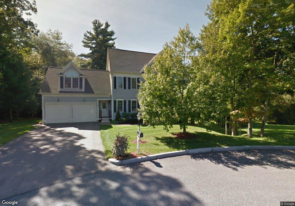
3 Marie Path Natick, MA 01760
Estimated Value: $1,484,724 - $1,726,000
4
Beds
3
Baths
3,344
Sq Ft
$483/Sq Ft
Est. Value
About This Home
This home is located at 3 Marie Path, Natick, MA 01760 and is currently estimated at $1,614,931, approximately $482 per square foot. 3 Marie Path is a home located in Middlesex County with nearby schools including Natick High School, J F Kennedy Middle School, and Johnson Elementary School.
Ownership History
Date
Name
Owned For
Owner Type
Purchase Details
Closed on
Dec 16, 2005
Sold by
B & B Land Corp
Bought by
Valovski Assia T and Valovski Ivan T
Current Estimated Value
Home Financials for this Owner
Home Financials are based on the most recent Mortgage that was taken out on this home.
Original Mortgage
$700,000
Outstanding Balance
$392,817
Interest Rate
6.34%
Mortgage Type
Purchase Money Mortgage
Estimated Equity
$1,222,114
Create a Home Valuation Report for This Property
The Home Valuation Report is an in-depth analysis detailing your home's value as well as a comparison with similar homes in the area
Home Values in the Area
Average Home Value in this Area
Purchase History
| Date | Buyer | Sale Price | Title Company |
|---|---|---|---|
| Valovski Assia T | $875,000 | -- |
Source: Public Records
Mortgage History
| Date | Status | Borrower | Loan Amount |
|---|---|---|---|
| Open | Valovski Assia T | $700,000 |
Source: Public Records
Tax History
| Year | Tax Paid | Tax Assessment Tax Assessment Total Assessment is a certain percentage of the fair market value that is determined by local assessors to be the total taxable value of land and additions on the property. | Land | Improvement |
|---|---|---|---|---|
| 2025 | $16,431 | $1,373,800 | $495,200 | $878,600 |
| 2024 | $15,883 | $1,295,500 | $469,100 | $826,400 |
| 2023 | $14,575 | $1,153,100 | $436,100 | $717,000 |
| 2022 | $14,050 | $1,053,200 | $392,900 | $660,300 |
| 2021 | $13,670 | $1,004,400 | $387,700 | $616,700 |
| 2020 | $4,833 | $988,900 | $372,200 | $616,700 |
| 2019 | $12,569 | $988,900 | $372,200 | $616,700 |
| 2018 | $12,107 | $959,100 | $359,300 | $599,800 |
| 2017 | $11,911 | $944,500 | $355,300 | $589,200 |
| 2016 | $12,740 | $938,800 | $355,300 | $583,500 |
| 2015 | $12,293 | $889,500 | $355,300 | $534,200 |
Source: Public Records
Map
Nearby Homes
- 5 Lanes End
- 34 Walden Dr Unit 5
- 30 Walden Dr Unit 7
- 8 Walden Dr Unit 13
- 1 Post Oak Ln Unit 19
- 46 Silver Hill Ln Unit 1
- 3 Silver Hill Ln Unit 6
- 36 Silver Hill Ln Unit 21
- 27 Stillman St
- 52 Village Brook Ln Unit 14
- 57 Village Brook Ln Unit 5
- 26 Wellesley Ave Unit B
- 8 Village Way Unit 11
- 44 Village Hill Ln
- 29 Village Rock Ln Unit 6
- 4 Village Rock Ln Unit 9
- 79 Speen St
- 21 Village Rock Ln Unit 4
- 9 Village Hill Ln Unit 15
- 5 Village Rock Ln Unit 24
Your Personal Tour Guide
Ask me questions while you tour the home.