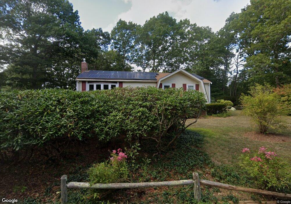
3 Marion Way Plymouth, MA 02360
Estimated Value: $566,000 - $645,000
3
Beds
2
Baths
1,619
Sq Ft
$369/Sq Ft
Est. Value
About This Home
This home is located at 3 Marion Way, Plymouth, MA 02360 and is currently estimated at $597,100, approximately $368 per square foot. 3 Marion Way is a home located in Plymouth County with nearby schools including Nathaniel Morton Elementary School, Plymouth Community Intermediate, and Plymouth North High School.
Ownership History
Date
Name
Owned For
Owner Type
Purchase Details
Closed on
Oct 11, 2012
Sold by
Sprague Donald K and Sprague Catherine A
Bought by
Sprague Ft and Sprague
Current Estimated Value
Purchase Details
Closed on
Aug 28, 2009
Sold by
Sprague Donald K and Sprague Catherine A
Bought by
Sprague Ft and Sprague
Purchase Details
Closed on
Jul 30, 2003
Sold by
Sprague Catherine A
Bought by
Sprague Donald K and Sprague Catherine A
Create a Home Valuation Report for This Property
The Home Valuation Report is an in-depth analysis detailing your home's value as well as a comparison with similar homes in the area
Home Values in the Area
Average Home Value in this Area
Purchase History
| Date | Buyer | Sale Price | Title Company |
|---|---|---|---|
| Sprague Ft | -- | -- | |
| Sprague Ft | -- | -- | |
| Sprague Donald K | -- | -- |
Source: Public Records
Mortgage History
| Date | Status | Borrower | Loan Amount |
|---|---|---|---|
| Previous Owner | Sprague Donald K | $60,000 |
Source: Public Records
Tax History Compared to Growth
Tax History
| Year | Tax Paid | Tax Assessment Tax Assessment Total Assessment is a certain percentage of the fair market value that is determined by local assessors to be the total taxable value of land and additions on the property. | Land | Improvement |
|---|---|---|---|---|
| 2025 | $6,505 | $512,600 | $234,200 | $278,400 |
| 2024 | $6,107 | $474,500 | $214,200 | $260,300 |
| 2023 | $5,786 | $422,000 | $186,200 | $235,800 |
| 2022 | $5,627 | $364,700 | $171,100 | $193,600 |
| 2021 | $5,385 | $333,200 | $171,100 | $162,100 |
| 2020 | $4,902 | $299,800 | $161,100 | $138,700 |
| 2019 | $4,596 | $277,900 | $141,100 | $136,800 |
| 2018 | $4,543 | $276,000 | $141,100 | $134,900 |
| 2017 | $4,389 | $264,700 | $141,100 | $123,600 |
| 2016 | $4,144 | $254,700 | $131,100 | $123,600 |
| 2015 | $3,871 | $249,100 | $131,100 | $118,000 |
| 2014 | $3,704 | $244,800 | $131,100 | $113,700 |
Source: Public Records
Map
Nearby Homes
- 89 Jordan Rd
- 125 Bradstreete Crossing
- 54 Bowsprit Ln
- 21 Hickory Bend Way Unit 19-1
- 17 Hickory Bend Way Unit 19-3
- 8 Hazelnut Ave
- 17 Trumpet Vine
- 235 Saquish
- 32 Hickory Bend Way Unit 25-1
- 8 Hickory Bend Way Unit 20-1
- 40 Firefly Point Unit 40
- 11 Butten Mews
- 30 College Pond Rd
- 61 Bradstreete Crossing
- 1 Matt Hoxie Trail
- 19 W Trevor Hill
- 22 Old Langmore Way
- 48 Great Kame
- 112 Bump Rock Rd
- 40 Great Kame
- 331 Long Pond Rd
- 7 Marion Way
- 329 Long Pond Rd
- 56 White Oak Dr
- 4 Marion Way
- 4 Marion Way Unit 1
- 8 Marion Way
- 54 White Oak Dr
- 327 Long Pond Rd
- 52 White Oak Dr
- 42 Crabtree Rd
- 57 White Oak Dr
- 39 Crabtree Rd
- 330 Long Pond Rd
- 53 White Oak Dr
- 43 Crabtree Rd
- 37 Crabtree Rd
- 50 White Oak Dr
- 51 White Oak Dr
- 323 Long Pond Rd