3 Marsh Rd Westport, CT 06880
Saugatuck NeighborhoodEstimated Value: $1,907,000 - $2,099,091
3
Beds
3
Baths
2,118
Sq Ft
$943/Sq Ft
Est. Value
About This Home
This home is located at 3 Marsh Rd, Westport, CT 06880 and is currently estimated at $1,997,523, approximately $943 per square foot. 3 Marsh Rd is a home located in Fairfield County with nearby schools including King's Highway Elementary School, Coleytown Middle School, and Staples High School.
Ownership History
Date
Name
Owned For
Owner Type
Purchase Details
Closed on
Oct 18, 2013
Sold by
Burns Mark V
Bought by
Burns Mark V and Burns Hilary A
Current Estimated Value
Purchase Details
Closed on
May 22, 1995
Sold by
Schwartz Sylvia
Bought by
Burns Mark
Create a Home Valuation Report for This Property
The Home Valuation Report is an in-depth analysis detailing your home's value as well as a comparison with similar homes in the area
Home Values in the Area
Average Home Value in this Area
Purchase History
| Date | Buyer | Sale Price | Title Company |
|---|---|---|---|
| Burns Mark V | -- | -- | |
| Burns Mark | -- | -- | |
| Burns Mark | $375,000 | -- | |
| Burns Mark | $375,000 | -- |
Source: Public Records
Mortgage History
| Date | Status | Borrower | Loan Amount |
|---|---|---|---|
| Previous Owner | Burns Mark | $250,000 | |
| Previous Owner | Burns Mark | $417,000 |
Source: Public Records
Tax History Compared to Growth
Tax History
| Year | Tax Paid | Tax Assessment Tax Assessment Total Assessment is a certain percentage of the fair market value that is determined by local assessors to be the total taxable value of land and additions on the property. | Land | Improvement |
|---|---|---|---|---|
| 2025 | $13,573 | $719,670 | $385,245 | $334,425 |
| 2024 | $13,400 | $719,670 | $385,245 | $334,425 |
| 2023 | $13,206 | $719,670 | $385,245 | $334,425 |
| 2022 | $13,004 | $719,670 | $385,245 | $334,425 |
| 2021 | $17,591 | $587,895 | $385,245 | $202,650 |
| 2020 | $8,297 | $516,900 | $386,100 | $130,800 |
| 2019 | $6,576 | $390,040 | $351,000 | $39,040 |
| 2018 | $16,867 | $390,040 | $351,000 | $39,040 |
| 2017 | $16,555 | $450,300 | $351,000 | $99,300 |
| 2016 | $7,592 | $450,300 | $351,000 | $99,300 |
| 2015 | $9,195 | $508,300 | $392,000 | $116,300 |
| 2014 | $9,119 | $508,300 | $392,000 | $116,300 |
Source: Public Records
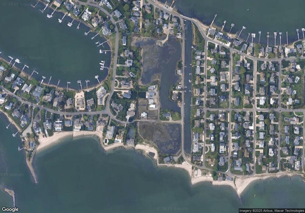
Map
Nearby Homes
- 24 Canal Rd
- 3 Nassau Rd
- 34 Shorehaven Rd
- 14 Owenoke Park
- 11 Manitou Ct
- 0 Calf Pasture Island Unit 24147619
- 18 Cloverly Cir
- 199 Gregory Blvd Unit D2
- 199 Gregory Blvd Unit E4
- 5 Hidden Hill Rd
- 26 Cove Ave Unit 3B
- 26 Cove Ave Unit 2D
- 281 East Ave
- 32 Narrow Rocks Rd
- 24 Compo Pkwy
- 100 Seaview Ave Unit 3I
- 31 Franklin St
- 39 Compo Pkwy
- 202 Bradley Ln Unit 202
- 44 King St