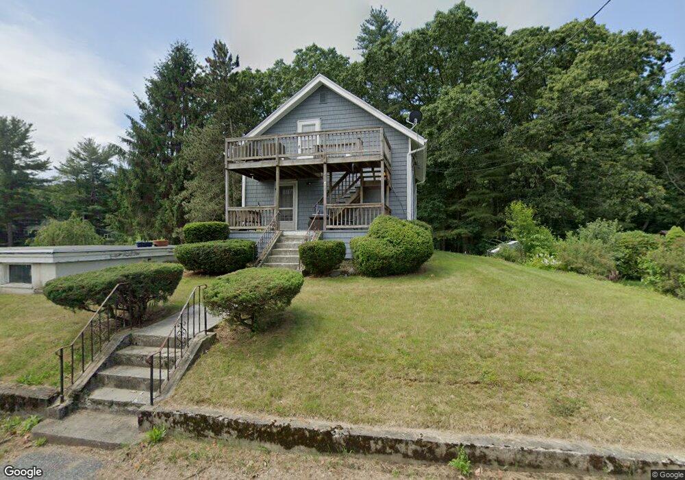
3 Mason Rd Millbury, MA 01527
Estimated Value: $411,566 - $473,000
4
Beds
3
Baths
1,175
Sq Ft
$365/Sq Ft
Est. Value
About This Home
This home is located at 3 Mason Rd, Millbury, MA 01527 and is currently estimated at $428,392, approximately $364 per square foot. 3 Mason Rd is a home located in Worcester County with nearby schools including Elmwood Street Elementary School, Raymond E. Shaw Elementary School, and Millbury Junior/Senior High School.
Ownership History
Date
Name
Owned For
Owner Type
Purchase Details
Closed on
Jun 16, 2021
Sold by
Tripaldi Monique M
Bought by
Tripaldi Monique M and Tripaldi James
Current Estimated Value
Home Financials for this Owner
Home Financials are based on the most recent Mortgage that was taken out on this home.
Original Mortgage
$150,000
Outstanding Balance
$135,213
Interest Rate
2.9%
Mortgage Type
New Conventional
Estimated Equity
$293,179
Purchase Details
Closed on
Mar 21, 2001
Sold by
Cofsky Everett G and Cofsky Lois V
Bought by
Tripaldi Monique M
Home Financials for this Owner
Home Financials are based on the most recent Mortgage that was taken out on this home.
Original Mortgage
$123,500
Interest Rate
6.93%
Mortgage Type
Purchase Money Mortgage
Create a Home Valuation Report for This Property
The Home Valuation Report is an in-depth analysis detailing your home's value as well as a comparison with similar homes in the area
Home Values in the Area
Average Home Value in this Area
Purchase History
| Date | Buyer | Sale Price | Title Company |
|---|---|---|---|
| Tripaldi Monique M | -- | None Available | |
| Tripaldi Monique M | -- | None Available | |
| Tripaldi Monique M | -- | None Available | |
| Tripaldi Monique M | $126,000 | -- | |
| Tripaldi Monique M | $126,000 | -- |
Source: Public Records
Mortgage History
| Date | Status | Borrower | Loan Amount |
|---|---|---|---|
| Open | Tripaldi Monique M | $150,000 | |
| Closed | Tripaldi Monique M | $150,000 | |
| Previous Owner | Tripaldi Monique M | $32,000 | |
| Previous Owner | Tripaldi Monique M | $123,500 |
Source: Public Records
Tax History
| Year | Tax Paid | Tax Assessment Tax Assessment Total Assessment is a certain percentage of the fair market value that is determined by local assessors to be the total taxable value of land and additions on the property. | Land | Improvement |
|---|---|---|---|---|
| 2025 | $4,515 | $337,200 | $110,300 | $226,900 |
| 2024 | $4,154 | $314,000 | $102,200 | $211,800 |
| 2023 | $3,787 | $262,100 | $71,700 | $190,400 |
| 2022 | $3,266 | $217,700 | $71,700 | $146,000 |
| 2021 | $6,877 | $204,400 | $71,700 | $132,700 |
| 2020 | $115 | $201,900 | $71,700 | $130,200 |
| 2019 | $2,934 | $185,100 | $65,100 | $120,000 |
| 2018 | $119 | $170,300 | $65,100 | $105,200 |
| 2017 | $117 | $168,800 | $65,100 | $103,700 |
| 2016 | $2,596 | $157,700 | $65,100 | $92,600 |
| 2015 | $2,571 | $156,200 | $69,300 | $86,900 |
| 2014 | $2,476 | $144,800 | $69,300 | $75,500 |
Source: Public Records
Map
Nearby Homes
- 2 Wilson Rd Unit B
- 2 Wilson Rd Unit A
- 300 Millbury Ave
- 2 Diane St
- 48 Macarthur Dr
- 8 Nightview Place
- 12 Irene Ct
- 2 Riverlin Pkwy
- 7 Barbara St
- 8 Lincoln Ave
- 17 Lincoln Ave
- 1459 Grafton Rd
- 11 Maplewood Rd
- 6 Nathaniel St
- 9 Marissa Cir
- 0 Worcester Providence Turnpike
- 3 Julien Ave
- 7 Canal St
- 7 Clarissa St
- 37-39 Main St
Your Personal Tour Guide
Ask me questions while you tour the home.