3 Memory Ln Sebago, ME 04029
Estimated Value: $285,000 - $576,000
Studio
--
Bath
2,022
Sq Ft
$215/Sq Ft
Est. Value
About This Home
This home is located at 3 Memory Ln, Sebago, ME 04029 and is currently estimated at $435,737, approximately $215 per square foot. 3 Memory Ln is a home with nearby schools including Lake Region High School.
Ownership History
Date
Name
Owned For
Owner Type
Purchase Details
Closed on
Aug 29, 2025
Sold by
Vacationland Invs Llc
Bought by
Donnell Sarah and Burnell Daniel
Current Estimated Value
Home Financials for this Owner
Home Financials are based on the most recent Mortgage that was taken out on this home.
Original Mortgage
$438,903
Outstanding Balance
$438,145
Interest Rate
6.75%
Mortgage Type
FHA
Estimated Equity
-$2,408
Create a Home Valuation Report for This Property
The Home Valuation Report is an in-depth analysis detailing your home's value as well as a comparison with similar homes in the area
Home Values in the Area
Average Home Value in this Area
Purchase History
| Date | Buyer | Sale Price | Title Company |
|---|---|---|---|
| Donnell Sarah | $447,000 | -- | |
| Donnell Sarah | $447,000 | -- |
Source: Public Records
Mortgage History
| Date | Status | Borrower | Loan Amount |
|---|---|---|---|
| Open | Donnell Sarah | $438,903 | |
| Closed | Donnell Sarah | $438,903 |
Source: Public Records
Tax History
| Year | Tax Paid | Tax Assessment Tax Assessment Total Assessment is a certain percentage of the fair market value that is determined by local assessors to be the total taxable value of land and additions on the property. | Land | Improvement |
|---|---|---|---|---|
| 2025 | $4,494 | $302,810 | $67,920 | $234,890 |
| 2024 | $4,130 | $302,810 | $67,920 | $234,890 |
| 2023 | $3,930 | $302,810 | $67,920 | $234,890 |
| 2022 | $3,149 | $302,810 | $67,920 | $234,890 |
| 2021 | $2,983 | $302,810 | $67,920 | $234,890 |
| 2020 | $2,595 | $184,671 | $48,644 | $136,027 |
| 2019 | $2,512 | $184,671 | $48,644 | $136,027 |
| 2018 | $3,101 | $115,409 | $48,644 | $66,765 |
| 2017 | $2,746 | $212,046 | $48,644 | $163,402 |
| 2016 | $2,608 | $212,046 | $48,644 | $163,402 |
| 2015 | $2,778 | $212,046 | $48,644 | $163,402 |
| 2014 | $2,829 | $212,046 | $48,644 | $163,402 |
Source: Public Records
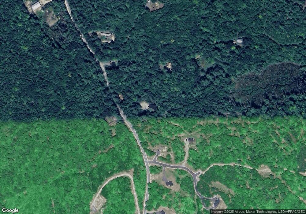
Map
Nearby Homes
- Lot 8 Northwood Estates
- 255 Anderson Rd
- 808 Sebago Rd
- 332 Folly Rd
- 676 Sebago Rd
- 31 Pleasant View Dr
- 16 Mason Ave
- 5 Whipporwill Dr
- 87 & 91 Gore
- 184 King Hill Rd
- Lot 31 Weeman Rd
- Lot 11 Dillingham Rd
- 24 Mayberry Landing
- 8 Ward Rd
- 829 Bridgton Rd
- 4 Baldwin Rd
- 48 Winston Rd
- 22 Abenaki Acres Rd
- 45 Crooked Way
- 7 Maplewood Dr
- 3 Memory Ln Unit Apartment1
- 0 Memory Ln Unit 1245093
- 299 Kimball Corner Rd
- 221 Kimball Corner Rd
- 231 Kimball Corner Rd
- 237 Kimball Corner Rd
- 292 Kimball Corner Rd
- 14 Gregory Pine
- 311 Kimball Corner Rd
- 41 Memory Ln
- 346 Kimball Corner Rd
- 4 Gregory Pines Dr
- Lot 8 Gregory Pines Dr
- 6A Stoney Crest Way
- 383 Kimball Corner Rd
- 5530 Kimball Corner Rd
- 0 Kimball Corner Rd
- 014 Kimball Corner Rd
- 361 Kimball Corner Rd
- Lot 7b Stoney Crest Way
Your Personal Tour Guide
Ask me questions while you tour the home.