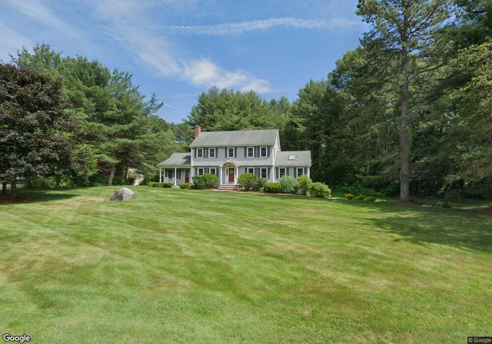
3 Michaels Dr Tyngsboro, MA 01879
Estimated Value: $847,000 - $1,133,000
3
Beds
3
Baths
4,018
Sq Ft
$237/Sq Ft
Est. Value
About This Home
This home is located at 3 Michaels Dr, Tyngsboro, MA 01879 and is currently estimated at $953,035, approximately $237 per square foot. 3 Michaels Dr is a home located in Middlesex County with nearby schools including Tyngsborough Elementary School, Tyngsborough Middle School, and Tyngsborough High School.
Ownership History
Date
Name
Owned For
Owner Type
Purchase Details
Closed on
Jul 1, 1986
Bought by
Szablak Chester J and Szablak Linda A
Current Estimated Value
Create a Home Valuation Report for This Property
The Home Valuation Report is an in-depth analysis detailing your home's value as well as a comparison with similar homes in the area
Home Values in the Area
Average Home Value in this Area
Purchase History
| Date | Buyer | Sale Price | Title Company |
|---|---|---|---|
| Szablak Chester J | $170,700 | -- |
Source: Public Records
Mortgage History
| Date | Status | Borrower | Loan Amount |
|---|---|---|---|
| Open | Szablak Chester J | $50,000 |
Source: Public Records
Tax History Compared to Growth
Tax History
| Year | Tax Paid | Tax Assessment Tax Assessment Total Assessment is a certain percentage of the fair market value that is determined by local assessors to be the total taxable value of land and additions on the property. | Land | Improvement |
|---|---|---|---|---|
| 2025 | $93 | $751,700 | $269,800 | $481,900 |
| 2024 | $9,172 | $721,100 | $263,000 | $458,100 |
| 2023 | $8,706 | $615,700 | $219,400 | $396,300 |
| 2022 | $8,374 | $560,500 | $191,100 | $369,400 |
| 2021 | $8,207 | $510,700 | $173,700 | $337,000 |
| 2020 | $8,067 | $496,400 | $165,000 | $331,400 |
| 2019 | $7,715 | $455,700 | $156,300 | $299,400 |
| 2018 | $6,962 | $441,800 | $156,300 | $285,500 |
| 2017 | $7,302 | $425,500 | $156,300 | $269,200 |
| 2016 | $6,836 | $389,300 | $156,300 | $233,000 |
| 2015 | $6,528 | $384,900 | $151,900 | $233,000 |
Source: Public Records
Map
Nearby Homes
- 10 Worden Rd
- 5 Mission Rd Unit 107
- 1 Hope St
- 863 Wellman Ave Unit 863
- 330 Wellman Ave
- 23 Morrison Ln
- 10 Dickens Ln
- 20 Merrimac Way Unit 20E
- 436 Wellman Ave
- 10 Butterfield St
- 126 Groton Rd
- 271 Wellman Ave
- 251 Wellman Ave Unit 251
- 739 Wellman Ave
- 24 Old Tyng Rd
- 730 Wellman Ave
- 30 Russell Rd
- 0 Dunstable Rd
- 123 Sherburne Ave
- 76 Russells Way
- 1 Michaels Dr
- 5 Michaels Dr
- 4 Michaels Dr
- 2 Michaels Dr
- 251 Dunstable Rd
- 270 Dunstable Rd
- 24 Worden Rd
- 26 Worden Rd
- 248 Dunstable Rd
- 250 Dunstable Rd
- 1 Braemar Cir
- 2 Ledge Rd
- 2 Ledge Rd
- C27 Scotty Hollow Dr Unit 27C
- A-11 Scotty Hollow Dr Unit A-11
- Unit 2 Robin Hill Meadows Unit 2
- D10 Scotty Hollow Dr Unit D10
- B10 Sinai Cir Unit B10
- c26 Scotty Hollow Unit C26
- Unit 2 Robin Hill Meadows