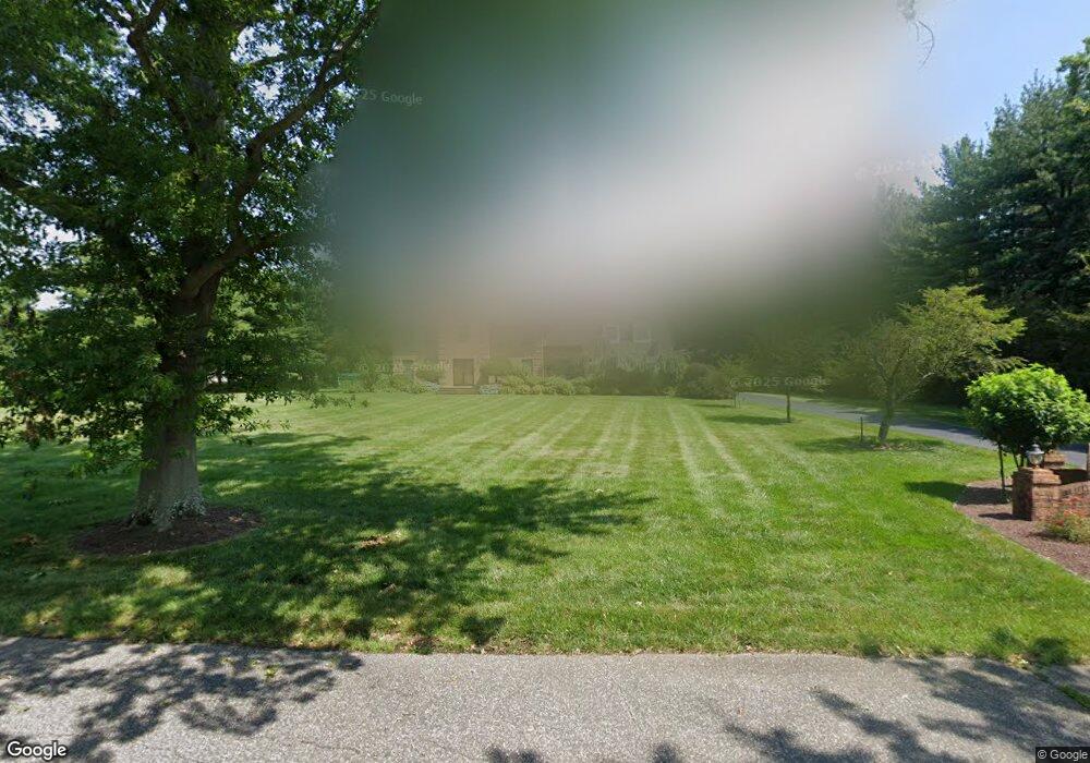
3 Millstone Ct Cranbury, NJ 08512
Estimated Value: $1,247,154 - $1,326,000
Studio
--
Bath
3,387
Sq Ft
$377/Sq Ft
Est. Value
About This Home
This home is located at 3 Millstone Ct, Cranbury, NJ 08512 and is currently estimated at $1,276,051, approximately $376 per square foot. 3 Millstone Ct is a home located in Middlesex County with nearby schools including Town Center Elementary School, Millstone River School, and Community Middle School.
Ownership History
Date
Name
Owned For
Owner Type
Purchase Details
Closed on
Jan 21, 1999
Sold by
Kundra Rajan
Bought by
Kundra Joginder and Kundra Meera
Current Estimated Value
Home Financials for this Owner
Home Financials are based on the most recent Mortgage that was taken out on this home.
Original Mortgage
$210,000
Interest Rate
8.1%
Purchase Details
Closed on
Mar 7, 1997
Sold by
Kundra Joginder
Bought by
Kundra Rajan and Gupta Anjali
Home Financials for this Owner
Home Financials are based on the most recent Mortgage that was taken out on this home.
Original Mortgage
$283,000
Interest Rate
7.59%
Create a Home Valuation Report for This Property
The Home Valuation Report is an in-depth analysis detailing your home's value as well as a comparison with similar homes in the area
Home Values in the Area
Average Home Value in this Area
Purchase History
| Date | Buyer | Sale Price | Title Company |
|---|---|---|---|
| Kundra Joginder | $377,000 | -- | |
| Kundra Rajan | $353,500 | -- |
Source: Public Records
Mortgage History
| Date | Status | Borrower | Loan Amount |
|---|---|---|---|
| Previous Owner | Kundra Joginder | $210,000 | |
| Previous Owner | Kundra Rajan | $283,000 |
Source: Public Records
Tax History
| Year | Tax Paid | Tax Assessment Tax Assessment Total Assessment is a certain percentage of the fair market value that is determined by local assessors to be the total taxable value of land and additions on the property. | Land | Improvement |
|---|---|---|---|---|
| 2025 | $19,888 | $761,100 | $189,400 | $571,700 |
| 2024 | $19,408 | $761,100 | $189,400 | $571,700 |
Source: Public Records
Map
Nearby Homes
- 3 Beechtree Ln
- 99 Thoreau Dr
- 103 Tennyson Dr
- 1216 Aspen Dr
- 100 Ashford Dr
- 76 Ashford Dr
- 136 Hampshire Dr
- 49 Hampshire Dr
- 108 Aspen Dr Unit 108
- 7 Camas Ct
- 2 Colonial Ct
- 8408 Tamarron Dr
- 60 Hampshire Dr
- 11 Harvest Dr
- 199 Hampshire Dr
- 8508 Tamarron Dr
- 11 Jay Ct
- 191 Hampshire Dr
- 422 Ravens Crest Dr Unit 422
- 4914 Ravens Crest Dr
- 5 Millstone Ct
- 149 Cranbury Neck Rd
- 153 Cranbury Neck Rd
- 1 Millstone Ct
- 6 Millstone Ct
- 4 Millstone Ct
- 2 Millstone St
- 2 Millstone Ct
- 145 Cranbury Neck Rd
- 1 Nostrand Rd
- 2 Millstone Ct
- 11 Nostrand Rd
- 156 Cranbury Neck Rd
- 3 Pollack Ct
- 1 Pollack Ct
- 158 Cranbury Neck Rd Unit 162
- 4 Pollack Ct
- 5 Pollack Ct
- 2 Pollak Ct
Your Personal Tour Guide
Ask me questions while you tour the home.