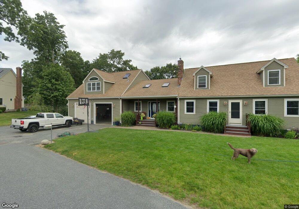
3 Montgomery Dr Millbury, MA 01527
Estimated Value: $502,000 - $807,000
3
Beds
1
Bath
1,632
Sq Ft
$410/Sq Ft
Est. Value
About This Home
This home is located at 3 Montgomery Dr, Millbury, MA 01527 and is currently estimated at $669,811, approximately $410 per square foot. 3 Montgomery Dr is a home located in Worcester County with nearby schools including Elmwood Street Elementary School, Raymond E. Shaw Elementary School, and Millbury Junior/Senior High School.
Ownership History
Date
Name
Owned For
Owner Type
Purchase Details
Closed on
Apr 1, 1998
Sold by
Tanson Wayne D and Tanson Christine M
Bought by
Carew Richard R and Carew Cathy L
Current Estimated Value
Home Financials for this Owner
Home Financials are based on the most recent Mortgage that was taken out on this home.
Original Mortgage
$118,600
Interest Rate
6.89%
Mortgage Type
Purchase Money Mortgage
Create a Home Valuation Report for This Property
The Home Valuation Report is an in-depth analysis detailing your home's value as well as a comparison with similar homes in the area
Home Values in the Area
Average Home Value in this Area
Purchase History
| Date | Buyer | Sale Price | Title Company |
|---|---|---|---|
| Carew Richard R | $124,900 | -- | |
| Carew Richard R | $124,900 | -- |
Source: Public Records
Mortgage History
| Date | Status | Borrower | Loan Amount |
|---|---|---|---|
| Open | Carew Richard R | $118,500 | |
| Closed | Carew Richard R | $118,600 |
Source: Public Records
Tax History Compared to Growth
Tax History
| Year | Tax Paid | Tax Assessment Tax Assessment Total Assessment is a certain percentage of the fair market value that is determined by local assessors to be the total taxable value of land and additions on the property. | Land | Improvement |
|---|---|---|---|---|
| 2025 | $8,299 | $619,800 | $116,700 | $503,100 |
| 2024 | $7,631 | $576,800 | $108,100 | $468,700 |
| 2023 | $6,690 | $463,000 | $75,900 | $387,100 |
| 2022 | $6,519 | $434,600 | $75,900 | $358,700 |
| 2021 | $6,356 | $411,900 | $75,900 | $336,000 |
| 2020 | $6,147 | $401,000 | $75,900 | $325,100 |
| 2019 | $6,170 | $389,300 | $75,500 | $313,800 |
| 2018 | $6,031 | $369,100 | $75,500 | $293,600 |
| 2017 | $5,146 | $313,200 | $75,500 | $237,700 |
| 2016 | $4,796 | $291,400 | $75,500 | $215,900 |
| 2015 | $4,727 | $287,200 | $76,700 | $210,500 |
| 2014 | $4,711 | $275,500 | $80,200 | $195,300 |
Source: Public Records
Map
Nearby Homes
- 90 Macarthur Dr
- 3 May St
- 86 Wheelock Ave
- 2 Diane St
- 11 Westview Ave
- 12 Irene Ct
- 1 Pineland Ave
- 1 Broadmeadow Ave
- 12 Alstead Path
- 46 John Dr Unit 46
- 5 Edward Dr
- 28 Lincoln Ln
- 21 Lordvale Blvd Unit 406
- 5 Lincoln Ln Unit 5
- 123 Riverlin St
- 330 Millbury Ave
- 76 Samuel Dr
- 11 Maplewood Rd
- 64 Millbury Ave
- 27 A-B Grafton St
- 1 Montgomery Dr
- 14 Rollie Shepard Dr
- 16 Rollie Shepard Dr
- 2 Montgomery Dr
- 5 Montgomery Dr
- 12 Rollie Shepard Dr
- 47 Macarthur Dr
- 18 Rollie Shepard Dr
- 43 Macarthur Dr
- 4 Montgomery Dr
- 20 Rollie Shepard Dr
- 41 Macarthur Dr
- 10 Rollie Shepard Dr
- 49 Macarthur Dr
- 7 Montgomery Dr
- 6 Montgomery Dr
- 13 Rollie Shepard Dr
- 35 Macarthur Dr
- 15 Rollie Shepard Dr
- 53 Macarthur Dr